Guadaloupe in San Francisco de Campeche in Campeche, Mexico — The Southeast (Yucatan Peninsula)
The Guadalupe Gate
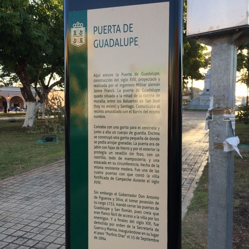
Puerta de Guadalupe
Aquí estuvo la Puerta de Guadalupe, construcción del siglo XVII, proyectada y realizada por el Ingeniero Militar alemán Jaime Franck. La puerta de Guadalupe quedo situada a la mitad de la cortina de muralla, entre los Baluartes de San José (hoy no existe) y Santiago. Comunicaba el recinto amurallado con el Barrio del mismo nombre.
Contaba con una garita para el centinela y junto a ella un cuerpo de guardia. Encima se construyó otra garita pequeña de donde se podía arrojar granadas. La puerta era de jabín con fajas de hierro y por el exterior la protegía un revellín sin foso, con un rastrillo, todo de mampostería, y una estacada en su circunferencia, hecha de la misma resistente madera. Fue una de las cuatro puertas con que contó la villa fortificada de Campeche durante el siglo XVII.
Sin embargo el Gobernador Don Antonio de Figueroa y Silva, al tomar posesión de su cargo 1732, mandó cerrar las puertas de Guadalupe y San Román, pues creía que eran flanco fácil de acceso a la villa por los enemigos. Y a finales del siglo XIX, fue demolida por orden de la Secretaría de Guerra y Marina, inaugurándose en su lugar el paso “Porfirio Díaz” el 15 de Septiembre de 1894.
English:
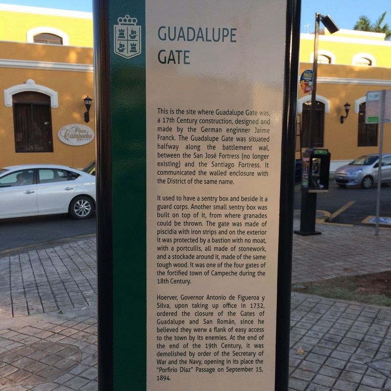
Guadalupe Gate
This is the site where Guadalupe Gate was, a 17th Century construction, designed and made by the German enginner Jaime Franck. The Guadalupe Gate was situated halfway along the battlement wal, between the San José Fortress (no longer existing) and the Santiago Fortress. It communicated the walled enclosure with the District of the same name.
It used to have a sentry box and beside it a guard corps. Another small sentry box was built on top of it, from where granades could be thrown. The gate was made of piscidia with iron strips and on the exterior it was protected by a bastion with no moat, with a portcullis, all made of stonework, and a stockade around it, made of the same tough wood. It was one of the four gates of the fortified town of Campeche during the 18th Century.
Hoerver, Governor Antonio de Figueroa y Silva, upon taking up office in 1732, ordered the closure of the Gates of Guadalupe and San Román, since he believed they werw a flank of easy access to the town by its enemies. At the end of the end of the 19th Century, it was demolished by order of the Secretary of War and the Navy, opening in its place the “Porfirio Díaz” Passage on September 15, 1894.
Topics. This historical marker is listed in these topic lists: Colonial Era • Forts and Castles • Man-Made Features. A significant historical date for this entry is September 15, 1894.
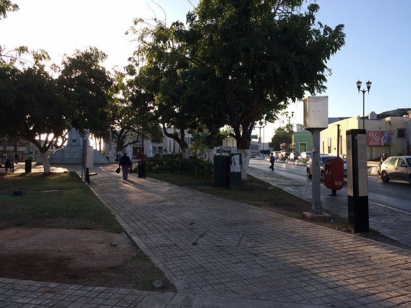
Location. 19° 50.811′ N, 90° 32.029′ W. Marker is in San Francisco de Campeche, Campeche. It is in Guadaloupe. Marker is at the intersection of Calle 49 and Calle 10, on the right when traveling north on Calle 49. Touch for map. Marker is at or near this postal address: C 49 537, San Francisco de Campeche CAMP 24010, Mexico. Touch for directions.
Other nearby markers. At least 8 other markers are within walking distance of this marker. Park of the 4th Centenary San Martín (within shouting distance of this marker); Bastion of Santiago (about 150 meters away, measured in a direct line); Francisco de Paulo Toro Theater (about 150 meters away); Temple of the Sweet Name of Jesus (approx. 0.3 kilometers away); Campeche Library (approx. 0.3 kilometers away); "La Española" Chapel (approx. 0.3 kilometers away); Independence Square (approx. 0.4 kilometers away); Pedro Sainz de Baranda y Borreyro (approx. 0.4 kilometers away). Touch for a list and map of all markers in San Francisco de Campeche.
Credits. This page was last revised on January 28, 2017. It was originally submitted on January 26, 2017, by J. Makali Bruton of Accra, Ghana. This page has been viewed 214 times since then and 11 times this year. Photos: 1, 2, 3. submitted on January 26, 2017, by J. Makali Bruton of Accra, Ghana.


