Zona Centro in San Francisco de Campeche in Campeche, Mexico — The Southeast (Yucatan Peninsula)
Independence Square
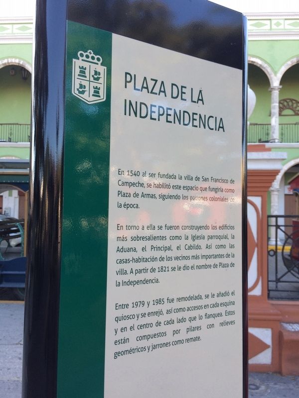
Plaza de la Independencia
En 1540 al ser fundada la villa de San Francisco de Campeche, se habilitó este espacio que fungiría como Plaza de Armas, siguiendo los patrones coloniales de la época.
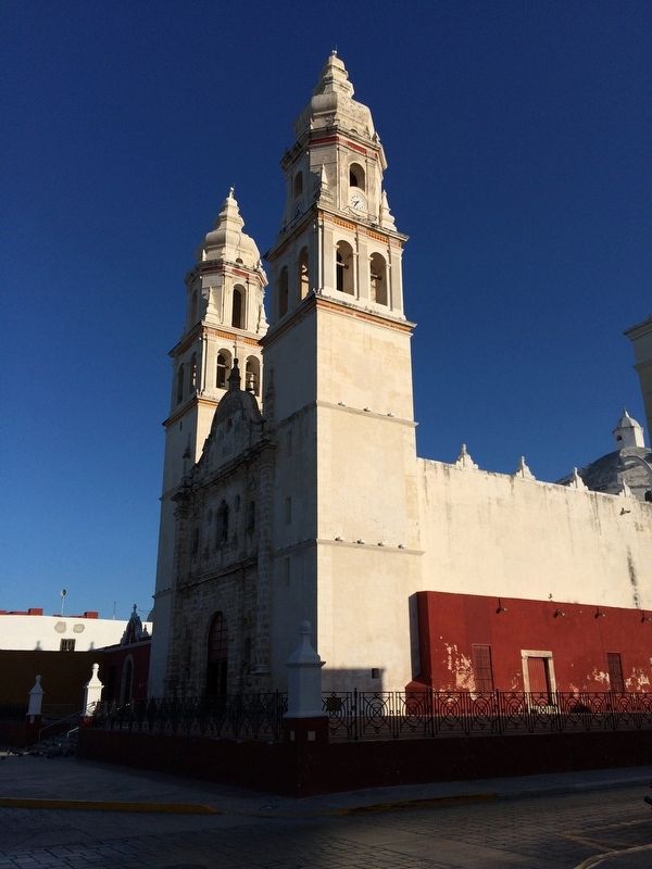
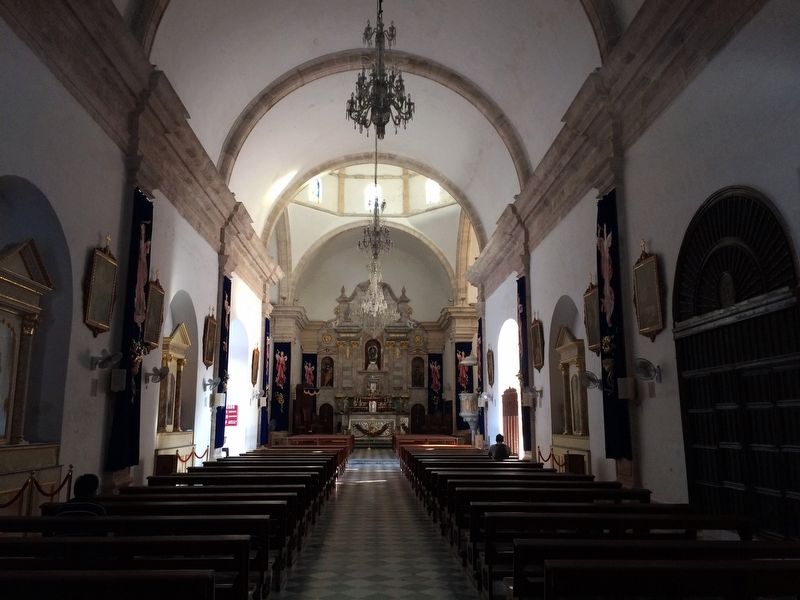
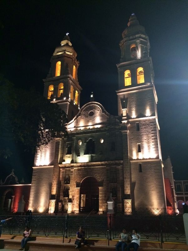
En torno a ella se fueron construyendo los edificios más sobresalientes como la Iglesia parroquial, la Aduana, el Principal, el Cabildo. Así como las casas-habitación de los vecinos más importantes de la villa. A partir de 1821 se le dio el nombre de Plaza de la Independencia.
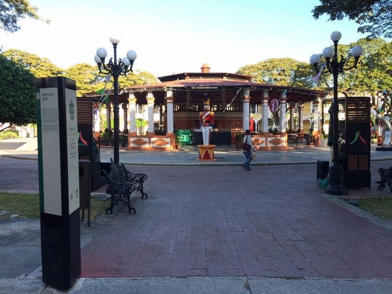
Entre 1979 y 1985 fue remodelada, se le añadió el quiosco y se enrejó, así como accesos en cada esquina y en el centro de cada lado que lo flanquea. Estos están compuestos por pilares con relieves geométricos y jarrones como remate.
English:
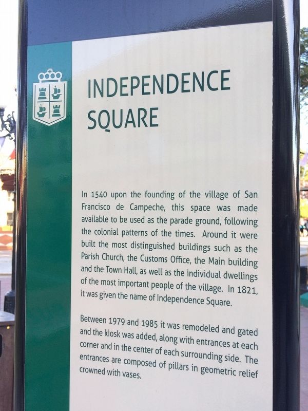
Independence Square
In 1540 upon the founding of the village of San Francisco de Campeche, this space was made available to be used as the parade ground, following the colonial patterns of the times. Around it were built the most distinguished buildings such as the Parish Church, the Customs Office, the Main building and the Town Hall, as well as the individual dwellings of the most important people of the village. In 1821, it was given the name of Independence Square.
Between 1979 and 1985 it was remodeled and gated and the kiosk was added, along with the entrances at each corner and in the center of each surrounding side. The entrances are composed of pillars in geometric relief crowned with vases.
Topics. This historical marker is listed in these topic lists: Colonial Era • Man-Made Features. A significant historical year for this entry is 1821.
Location. 19° 50.736′ N, 90° 32.211′ W. Marker is in San Francisco de Campeche, Campeche. It is in Zona Centro. Marker is on Calle 10, on the right when traveling west. Touch for map. Marker is at or near this postal address: 9 Calle 10, San Francisco de Campeche CAMP 24000, Mexico. Touch for directions.
Other nearby markers. At least 8 other markers are within walking distance of this marker. Pedro Sainz de Baranda y Borreyro (within shouting distance of this marker); "La Española" Chapel (within shouting distance of this marker); The Birthplace of Justo Sierra Méndez (within shouting distance of this marker); "The Palace" Cultural Center (about 90 meters away, measured in a direct line); Bastion of Our Lady of Solitude (about 120 meters away); Campeche Library (about 120 meters away); Temple of the Sweet Name of Jesus (about 120 meters away); Gate to the Sea (about 150 meters away). Touch for a list and map of all markers in San Francisco de Campeche.
Credits. This page was last revised on April 23, 2017. It was originally submitted on January 28, 2017, by J. Makali Bruton of Accra, Ghana. This page has been viewed 346 times since then and 19 times this year. Photos: 1, 2, 3, 4, 5. submitted on January 28, 2017, by J. Makali Bruton of Accra, Ghana. 6. submitted on April 23, 2017, by J. Makali Bruton of Accra, Ghana.
