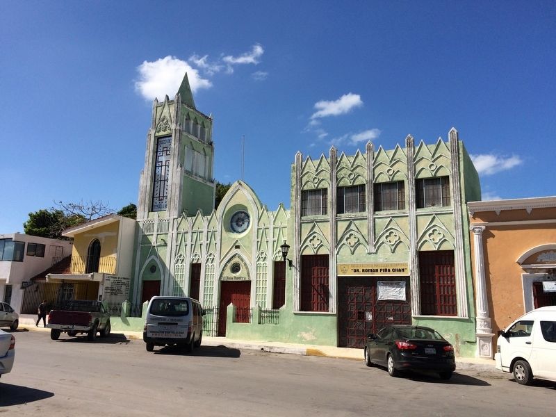
Guadaloupe in San Francisco de Campeche in Campeche, Mexico — The Southeast (Yucatan Peninsula)
San Francisco Park
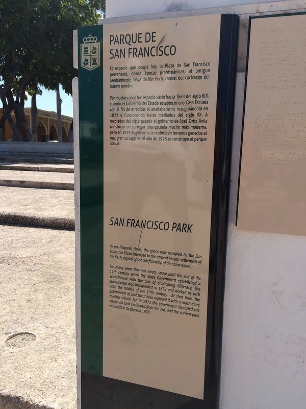
Parque de San Francisco
El espacio que ocupa hoy la Plaza de San Francisco perteneció, desde épocas prehispánicas, al antiguo asentamiento maya de Kin Pech, capital del cacicazgo del mismo nombre.
Por muchos años fue espacio vacío hasta fines del siglo XIX, cuando el Gobierno del Estado estableció una Casa Escuela con el fin de erradicar el analfabetismo, inaugurándola en 1872 y funcionando hasta mediados del siglo XX. A mediados del siglo pasado el gobierno de José Ortiz Ávila construyó en su lugar una escuela mucho más moderna, pero en 1973 el gobierno la reubicó en terrenos ganados al mar, y en su lugar en el año de 1978 se construyó el parque actual.
English:
San Francisco Park
In pre-Hispanic times, the space now occupied by the San Francisco Plaza belonged to the ancient Mayan settlement of Kin Pech, capital the chieftainship of the same name.
For many years this was empty space until the end of the 19th century when the State Government established a schoolhouse with the aim of eradicating illiteracy. The schoolhouse was inaugurated in 1872 and worked as such until the middle of the 20th century. At that time, the government of José Ortiz Ávila replaced it with a much more modern school, but in 1973 the government relocated the school on land reclaimed from the sea, and the current park was built in its place in 1978.
Topics. This historical marker is listed in these topic lists: Charity & Public Work • Education • Environment. A significant historical year for this entry is 1872.
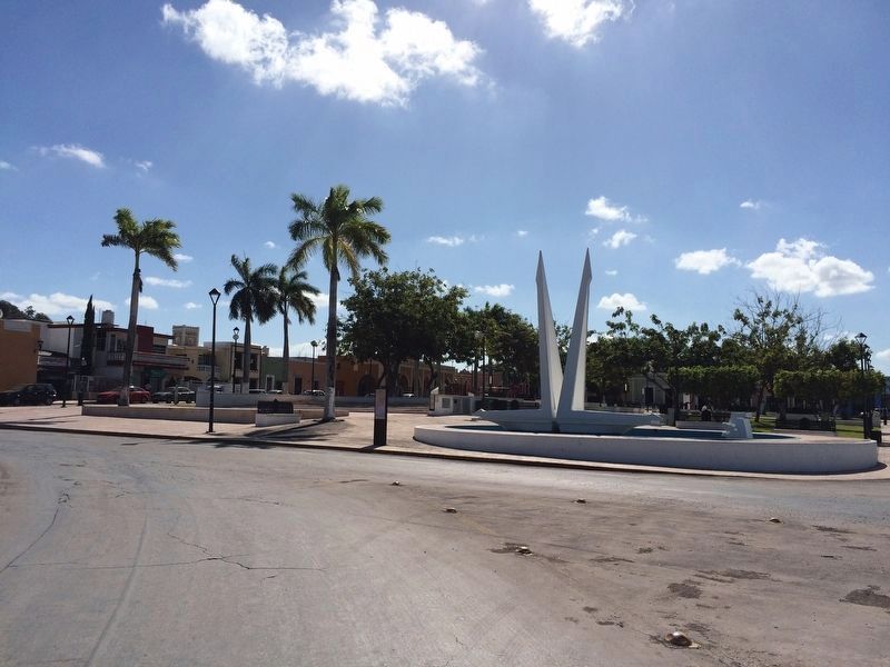
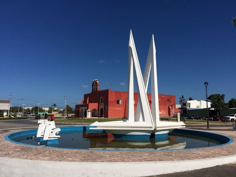
Location. 19° 51.104′ N, 90° 31.507′ W. Marker is in San Francisco de Campeche, Campeche. It is in Guadaloupe. Marker is on Calle 10-B, on the left when traveling west. The marker is along a retaining wall roughly in the north-center of the San Francisco Park. Touch for map. Marker is at or near this postal address: C 10-B 250, San Francisco de Campeche CAMP 24010, Mexico. Touch for directions.
Other nearby markers. At least 8 other markers are within walking distance of this marker. Temple and Former Convent of San Francisco de Asís (about 90 meters away, measured in a direct line); Temple of Guadalupe (approx. 0.7 kilometers away); Park of the 4th Centenary San Martín (approx. one kilometer away); The Guadalupe Gate (approx. 1.1 kilometers away); Bastion of Santiago (approx. 1.1 kilometers away); Francisco de Paulo Toro Theater (approx. 1.2 kilometers away); Bastion of San Pedro (approx. 1.2 kilometers away); Campeche Library (approx. 1.3 kilometers away). Touch for a list and map of all markers in San Francisco de Campeche.
Credits. This page was last revised on January 28, 2017. It was originally submitted on January 28, 2017, by J. Makali Bruton of Accra, Ghana. This page has been viewed 191 times since then and 12 times this year. Photos: 1, 2, 3, 4, 5. submitted on January 28, 2017, by J. Makali Bruton of Accra, Ghana.
