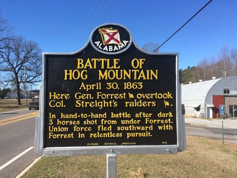
Near Vinemont in Cullman County, Alabama — The American South (East South Central)
Streight’s Raid
The Battle of Hog Mountain
Inscription.
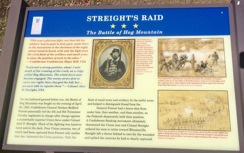
"This was a glorious fight, one that did the soldiers' hearts good to look upon, made there in the mountains in the darkness of the night, almost hand-to-hand, with only the light from the vivid flash of the artillery and small arms to show the position of each to the other.”
— Confederate Confederate Major M.H. Clift
"I selected a strong position, about 1 mile south of the crossing of the creek, on a ridge called Hog Mountain. The whole force soon became engaged. The enemy strove first to carry our right, then charged the left, but … we were able to repulse them.” — Colonel Abel
D. Streight, USA
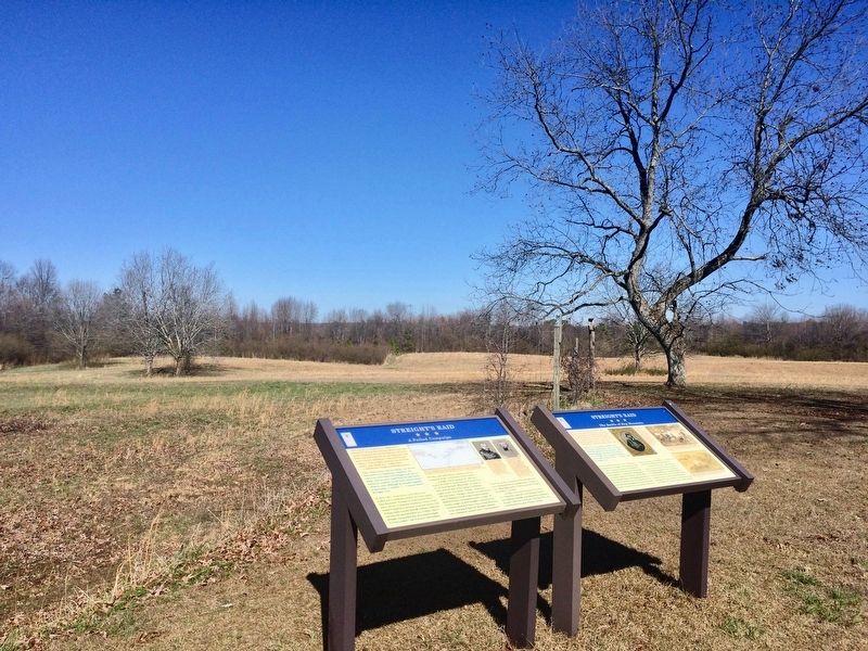
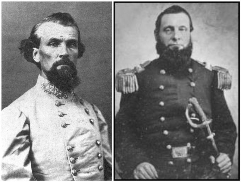
On the hallowed ground before you, the Battle of Hog Mountain was fought on the evening of April 30, 1863. Confederate General Nathan Bedford Forrest personally led the 4th and 9th Tennessee Cavalry regiments in charge after charge against a numerically superior Union force under Colonel Abel D. Streight. Much of the fighting was hand-to-hand and in the dark. Four Union cannons, two of which had been captured from Forrest only earlier that day, bolstered the Union position. Only the flash of small arms and artillery lit the awful scene and helped to distinguish friend from foe.
General Forrest had a horse shot from under him, then another, and then another, as the Federals desperately held their position. A Confederate flanking movement ultimately threatened the Union rear and Colonel Streight ordered his men to retire toward Blountsville. Streight left a doctor behind to care for the wounded and spiked the cannons he had so dearly captured.
Photo captions
[Right of portrait] - Hard-fighting Lt. Hiram L. Hendley was at Hog Mountain with the 9th Tennessee Cavalry Battalion and was the type of soldier with which the Union troops had to contest. On one muster-roll to the questions who last paid him and when, Hendley answered "nobody" and "never." Courtesy Library of Congress
[Right top] - Two captured Confederate cannons doubled the number of Yankee artillery pieces in the fight at Hog Mountain. Union Col. Streight used the cannons here, then spiked and abandoned them upon his retreat from Hog Mountain. Courtesy Library of Congress
[Right bottom] - There are no known images or even maps showing the quick nighttime fight at Hog Mountain, but this sketch showing troopers, mounted and dismounted, and artillery in concert approximates the scene. Courtesy Library of Congress
Erected 2013 by the Civil War Trust.
Topics. This historical marker is listed in these topic lists: Notable Events • War, US Civil. A significant historical date for this entry is April 30, 1863.
Location. 34° 12.774′ N, 86° 57.507′ W. Marker is near Vinemont, Alabama, in Cullman County. Marker is on County Road 1136, 0.4 miles north of County Road 1145, on the right when traveling north. Marker is west of Interstate 65, north of U.S. Highway 278 and south of the town of West Point. Touch for map. Marker is in this post office area: Vinemont AL 35179, United States of America. Touch for directions.
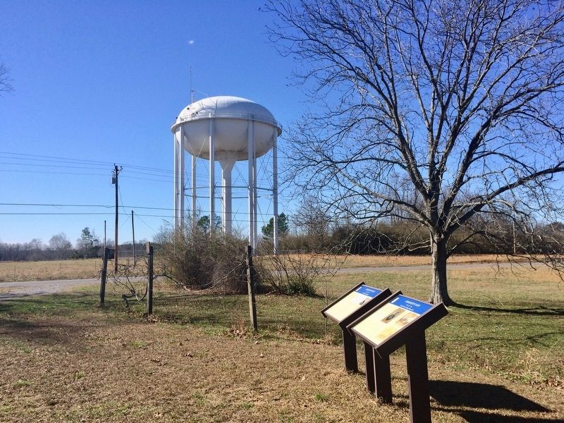
Other nearby markers. At least 8 other markers are within 2 miles of this marker, measured as the crow flies. A different marker also named Streight’s Raid (here, next to this marker); Battle of Hog Mountain (approx. 1.3 miles away); Land-Use and Water Quality
(approx. 1.9 miles away); Clarkson Covered Bridge (approx. 1.9 miles away); Alabama's Physical Diversity (approx. 1.9 miles away); Alabama's Aquatic Biodiversity (approx. 1.9 miles away); What happens to my wastewater? (approx. 1.9 miles away); Where does your drinking water come from? (approx. 1.9 miles away).
Related markers. Click here for a list of markers that are related to this marker.
Also see . . .
1. Civil War Trust unveils interpretive markers. American Battlefields Trust website entry (Submitted on January 28, 2017, by Mark Hilton of Montgomery, Alabama.)
2. Streight's Raid. Encyclopedia of Alabama website entry (Submitted on January 30, 2017, by Mark Hilton of Montgomery, Alabama.)
Credits. This page was last revised on November 19, 2021. It was originally submitted on January 28, 2017, by Mark Hilton of Montgomery, Alabama. This page has been viewed 1,066 times since then and 89 times this year. Photos: 1, 2, 3, 4, 5, 6. submitted on January 28, 2017, by Mark Hilton of Montgomery, Alabama.
