Holy Trinity in Russell County, Alabama — The American South (East South Central)
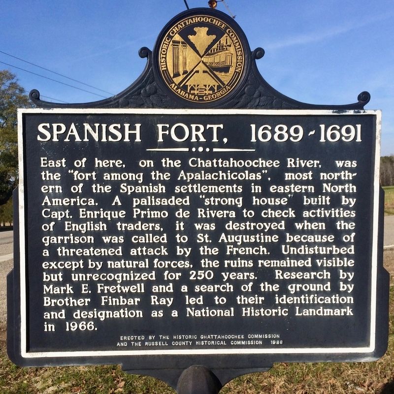
Spanish Fort, 1689-1691
Erected 1986 by the Historic Chattahoochee Commission and the Russell County Historical Commission.
Topics. This historical marker is listed in these topic lists: Forts and Castles • Landmarks • Settlements & Settlers • Waterways & Vessels. A significant historical year for this entry is 1966.
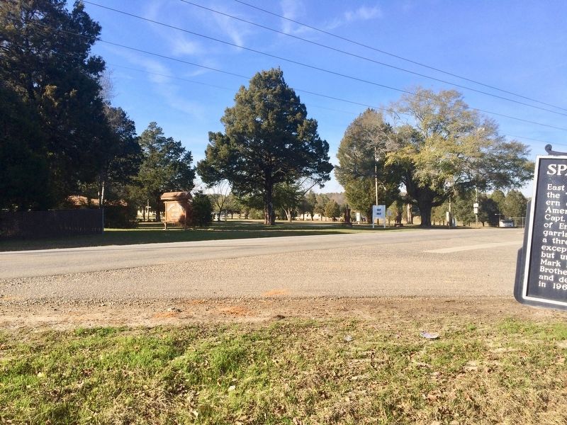
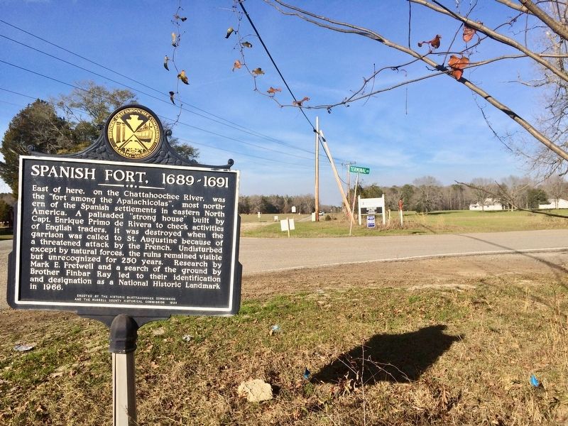
Location. 32° 13.239′ N, 85° 0.352′ W. Marker is in Holy Trinity, Alabama, in Russell County. Marker is at the intersection of Alabama Route 165 and Terminal Road (Route 54), on the right when traveling north on State Route 165. Touch for map. Marker is in this post office area: Holy Trinity AL 36859, United States of America. Touch for directions.
Other nearby markers. At least 8 other markers are within 9 miles of this marker, measured as the crow flies. Bartram's Trail (approx. 4 miles away); Macedonia Missionary Baptist Church / Macedonia School (approx. 4˝ miles away); Fryar Field (approx. 4.8 miles away); Fort McCreary – 1836 (approx. 5.4 miles away in Georgia); Indian Trail (approx. 6.1 miles away in Georgia); Battle of Shepherd’s Plantation (approx. 8.2 miles away in Georgia); Pokkecheta, or the Ball Play (approx. 8.6 miles away); J.W. and Ethel I. Woodruff Foundation Interpretive Trail (approx. 8.6 miles away).
Also see . . . Wikipedia article on the Apalachicola Fort Site. (Submitted on February 4, 2017, by Mark Hilton of Montgomery, Alabama.)

Public Domain (NPS)
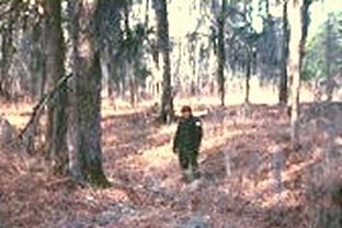
2. Apalachicola Fort Site
A National Historic Landmark site where Spain established a wattle and daub blockhouse here on the Chattahoochee River in 1690 in an attempt to maintain influence among the Lower Creek people. Abandoned after about one year of use and rediscovered in 1956. It is located on privately held farmland, and turned over to the county in 1971. It is not open to the public.
Credits. This page was last revised on February 18, 2024. It was originally submitted on February 4, 2017, by Mark Hilton of Montgomery, Alabama. This page has been viewed 1,072 times since then and 256 times this year. Photos: 1, 2, 3, 4. submitted on February 4, 2017, by Mark Hilton of Montgomery, Alabama.


