Breckenridge in Wilkin County, Minnesota — The American Midwest (Upper Plains)
Breckenridge
Photographed by Ruth VanSteenwyk, August 21, 2016
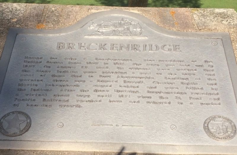
1. Breckenridge Marker
Named for John C. Breckenridge, vice-president of the United States from 1857 to 1861, the town was laid out in 1857. On August 23, 1862, its citizens were warned that the Sioux Indians were planning a raid on the town, and most of them fled to Fort Abercrombie. Scoffing at the warning, three men - Edward Russell, Charles Battle, and Martin Fehrenbach - stayed behind and were killed by the Indians. After the Sioux Uprising, Breckenridge remained a virtual ghost town until 1871 when the St. Paul and Pacific Railroad reached here and ushered in a period of booming growth.
Topics. This historical marker is listed in these topic lists: Indigenous Peoples and Communities • Settlements & Settlers • Wars, US Indian. A significant historical date for this entry is August 23, 1862.
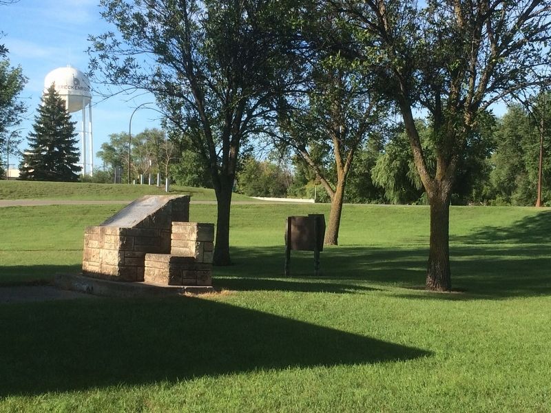
Location. 46° 16.222′ N, 96° 35.232′ W. Marker is in Breckenridge, Minnesota, in Wilkin County. It is on U.S. 75 one mile State Route 210, on the left when traveling south. Located in a wayside park. Touch for map. Marker is in this post office area: Breckenridge MN 56520, United States of America. Touch for directions.

Regionally, this marker is in
this page online
Other nearby markers. At least 8 other markers are within walking distance of this marker: AH-1 Cobra attack Helicopter (about 800 feet away, measured in a direct line); By the Waters of Three Rivers (approx. half a mile away); Wahpeton-Breckenridge Street Railway Company (approx. half a mile away); The Last Rail Spiked into Breckenridge (approx. half a mile away); "Boomer" (approx. half a mile away); First Expedition in Breckenridge Cabin Site (approx. half a mile away); Hyser Hotel Site (approx. 0.6 miles away); Historic Breckenridge (approx. 0.7 miles away). Touch for a list and map of all markers in Breckenridge.
Photographed by Ruth VanSteenwyk, August 21, 2016
2. Breckenridge Marker
Credits. This page was last revised on February 7, 2017. It was originally submitted on February 5, 2017, by Ruth VanSteenwyk of Aberdeen, South Dakota. This page has been viewed 969 times since then and 82 times this year. Photos: 1, 2. submitted on February 5, 2017, by Ruth VanSteenwyk of Aberdeen, South Dakota. • Bill Pfingsten was the editor who published this page.
