
Esplen in Pittsburgh in Allegheny County, Pennsylvania — The American Northeast (Mid-Atlantic)
Corliss Street Tunnel
| — | Historic Landmark | — |
Photographed by Mike Wintermantel
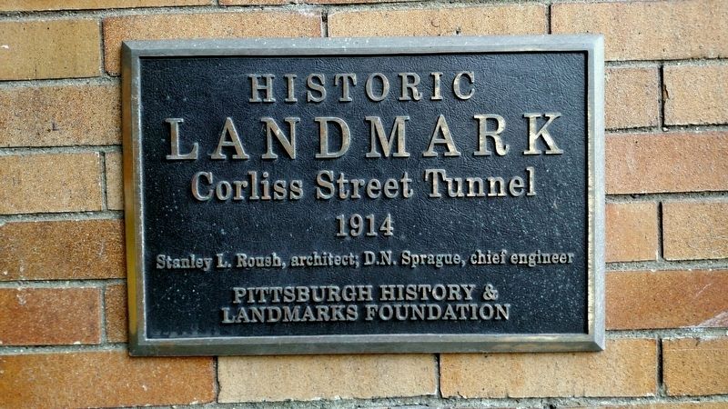
1. Corliss Street Tunnel Marker
South Portal Entrance marker
1914
Stanley L. Roush, architect; D.N. Sprague, chief engineer
Erected 2002 by Pittsburgh History and Landmarks Foundation.
Topics and series. This historical marker is listed in this topic list: Roads & Vehicles. In addition, it is included in the Pennsylvania, Pittsburgh History and Landmarks Foundation series list. A significant historical year for this entry is 1914.
Location. 40° 27.168′ N, 80° 2.38′ W. Marker is in Pittsburgh, Pennsylvania, in Allegheny County. It is in Esplen. It can be reached from the intersection of Corliss Street and West Carson Street (Route 51). Touch for map. Marker is in this post office area: Pittsburgh PA 15204, United States of America. Touch for directions.

Regionally, this marker is in the American Northeast, in the Mid-Atlantic, in the Ohio River Valley, in Appalachia, and specifically in Northern Appalachia. Globally, it is in North America, the Western Hemisphere, the Western World, and the Anglosphere. Historically, it finds itself in what was once the Viceroyalty of New France, the Haudenosaunee (Iroquois) Confederacy, and one of the original
this page online
Other nearby markers. At least 8 other markers are within walking distance of this marker: Twenty-First Ward World War II Memorial (approx. 0.6 miles away); Victory Baptist Church, 1865 (approx. 0.6 miles away); Colonel James Anderson House (approx. 0.7 miles away); All Wars Memorial (approx. ¾ mile away); a different marker also named All Wars Memorial (approx. ¾ mile away); Sheridan World War I Memorial (approx. 0.8 miles away); Jerusalem Baptist Church (approx. 0.8 miles away); West End United Methodist Church (approx. 0.9 miles away). Touch for a list and map of all markers in Pittsburgh.
More about this marker. There are 2 markers, 1 at each entrance to the tunnel
Also see . . . Corliss Street Tunnel. Pittsburgh Bridges.com (Submitted on February 8, 2017, by Mike Wintermantel of Pittsburgh, Pennsylvania.)
Photographed by Mike Wintermantel
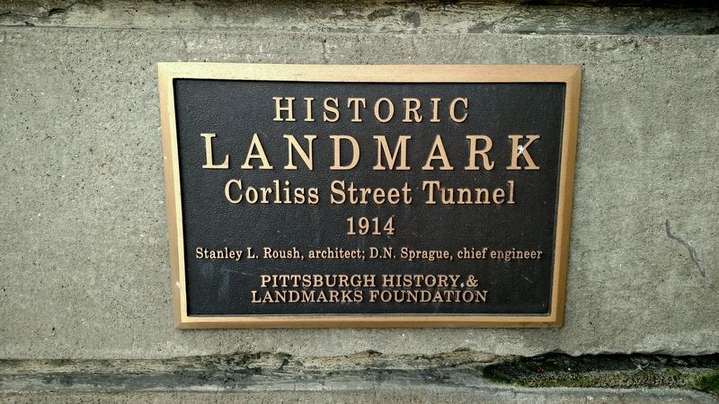
2. Corliss Street Tunnel Marker
North Portal Entrance marker
Photographed by Mike Wintermantel
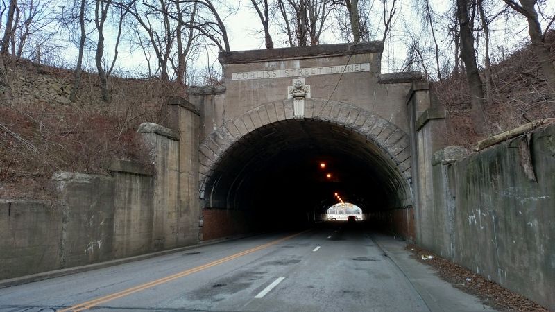
3. Corliss Street Tunnel Marker
South Portal, marker is on the right wall
Credits. This page was last revised on November 4, 2024. It was originally submitted on February 8, 2017, by Mike Wintermantel of Pittsburgh, Pennsylvania. This page has been viewed 742 times since then and 42 times this year. Photos: 1, 2, 3. submitted on February 8, 2017, by Mike Wintermantel of Pittsburgh, Pennsylvania.
