Marianna in Jackson County, Florida — The American South (South Atlantic)
Fight at the Chipola River Bridge
The Battle of Marianna
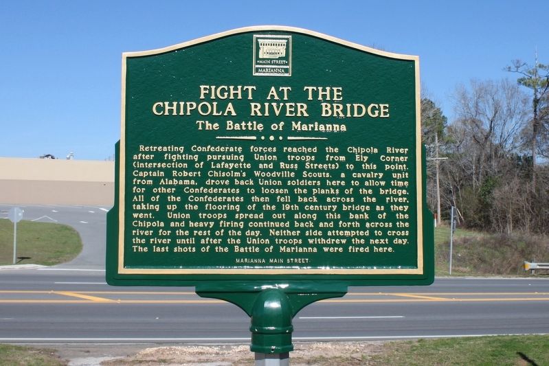
Photographed by Tim Fillmon, February 10, 2017
1. Fight at the Chipola River Bridge Marker
Erected 2016 by Marianna Main Street.
Topics. This historical marker is listed in this topic list: War, US Civil. A significant historical date for this entry is September 27, 1864.
Location. 30° 46.394′ N, 85° 13.029′ W. Marker is in Marianna, Florida, in Jackson County. It is at the intersection of Lafayette Street (U.S. 90) and Jackson Street, on the right when traveling east on Lafayette Street. Marker is in a small park bordering the Chipola River
this page online

Regionally, this marker is on the Florida Panhandle. It is also in the American South and specifically in the Deep South. Globally, it is in the North Atlantic Region, North America, a Gulf of Mexico state, the Western Hemisphere, the Western World, and the Anglosphere. Historically, it finds itself in what was once New Spain, the territory of the Mississippian Culture, one of the Confederate States of America, and the Antebellum South.
Other nearby markers. At least 8 other markers are within walking distance of this marker: Saint Luke Baptist Church (approx. 0.3 miles away); Jackson County Veterans Memorial (approx. half a mile away); Confederate Soldiers Monument (approx. half a mile away); Jackson County (approx. half a mile away); World War I African-American Soldiers Memorial (approx. 0.6 miles away); Veterans Memorial (approx. 0.6 miles away); Battle of Marianna (approx. 0.6 miles away); First Presbyterian Church (approx. 0.6 miles away). Touch for a list and map
Photographed by Tim Fillmon, February 10, 2017
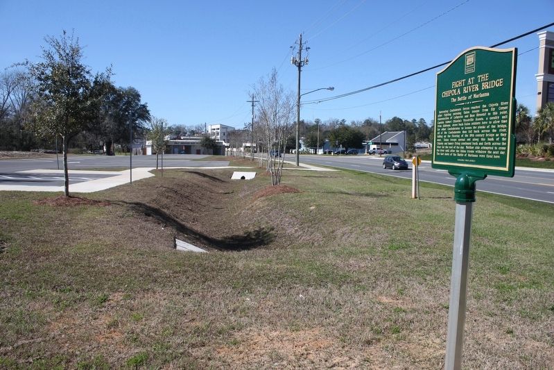
2. Fight at the Chipola River Bridge Marker
Looking west on US 90.
Another marker is no longer nearby. The Abstract Office (was approx. 0.6 miles away but has been confirmed missing).
Also see . . . Battle of Marianna. Wikipedia (Submitted on February 17, 2017.)
Credits. This page was last revised on December 14, 2020. It was originally submitted on February 17, 2017, by Tim Fillmon of Webster, Florida. This page has been viewed 1,227 times since then and 54 times this year. Photos: 1, 2. submitted on February 17, 2017, by Tim Fillmon of Webster, Florida. • Bernard Fisher was the editor who published this page.
