Near Old Town in Brunswick County, North Carolina — The American South (South Atlantic)
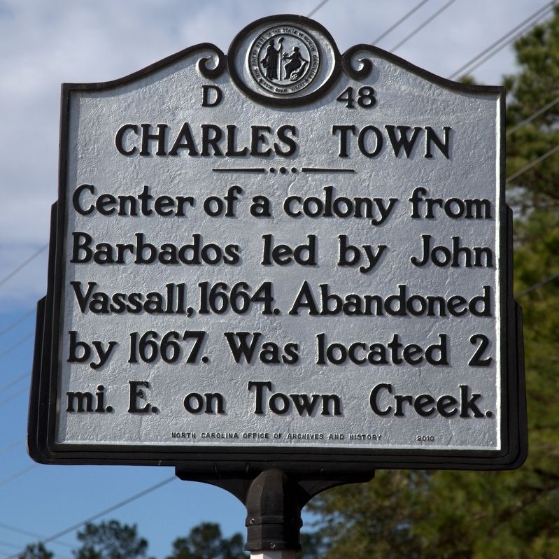
Charles Town
Photographed by J. J. Prats, February 5, 2017
1. Charles Town Marker
Erected 2010 by North Carolina Office of Archives and History. (Marker Number D-48.)
Topics and series. This historical marker is listed in these topic lists: Colonial Era • Settlements & Settlers. In addition, it is included in the North Carolina Division of Archives and History series list. A significant historical year for this entry is 1664.
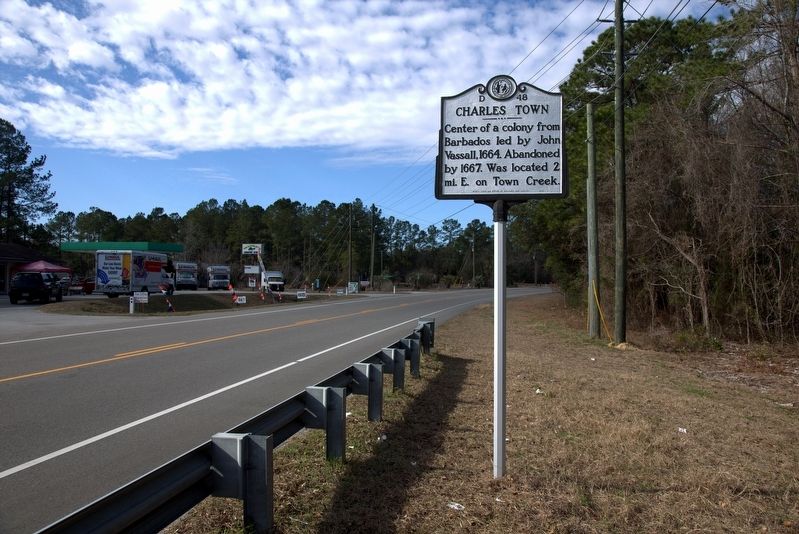
Location. 34° 8.235′ N, 77° 59.278′ W. Marker is near Old Town, North Carolina, in Brunswick County. It is on River Road SE (State Highway 133) near the Town Creek Bridge, on the left when traveling south. Touch for map. Marker is in this post office area: Winnabow NC 28479, United States of America. Touch for directions.

Regionally, this marker is in the Coastal Plain and on the Cape Fear Coast. It is also in the American South, specifically in the Upper South, in the Tidewater, and on the Eastern Seaboard. Globally, it is in the North Atlantic Region, North America, the Western Hemisphere, the Western World, and the Anglosphere. Historically,
this page online
Other nearby markers. At least 8 other markers are within 6 miles of this marker, measured as the crow flies: 1st Wilmington WWII POW Camp (approx. 4.8 miles away); North Carolina Shipbuilding Co. (approx. 4.9 miles away); Fort Anderson (approx. 5 miles away); Brunswick (approx. 5 miles away); Arthur Dobbs (approx. 5 miles away); Spanish Attack (approx. 5 miles away); Lucas House (approx. 5.1 miles away); Dye-Honeycutt House (approx. 5.2 miles away).
Also see . . . The First Charles Town. Page on J.D.Lewis’ Carolana.com website. “What most historians do not point out is the fact that in August 1667 there was a major hurricane that hit the entire East Coast. It severely damaged all the structures of the first Charles Town, and this was the "straw that broke the camel's back" - the settlers had had enough, so they loaded up and left - most returning to Barbados, some going to the Albemarle region, and some going on to Virginia - all
Photographed by J. J. Prats, February 5, 2017
2. Charles Town Marker
Photographed by J. J. Prats, February 5, 2017
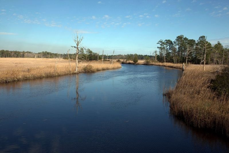
3. Town Creek Flowing towards the Cape Fear River
Charles Town was two miles downstream from this point. Marker is a few yards out of frame on the left.
Credits. This page was last revised on February 18, 2017. It was originally submitted on February 18, 2017, by J. J. Prats of Powell, Ohio. This page has been viewed 1,148 times since then and 73 times this year. Photos: 1, 2, 3. submitted on February 18, 2017, by J. J. Prats of Powell, Ohio.
