Princeton in Mercer County, New Jersey — The American Northeast (Mid-Atlantic)
Colonnade and Gravesite
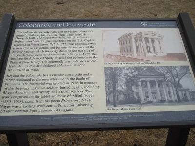
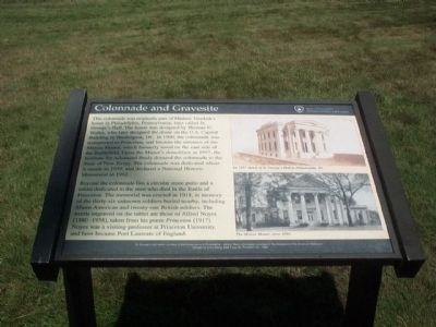
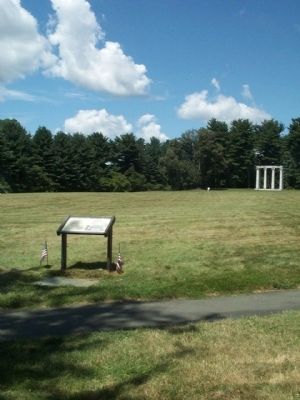
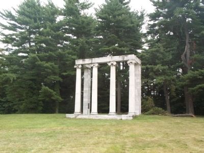
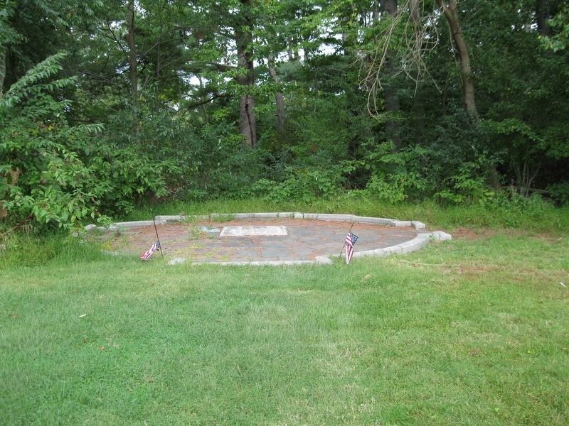
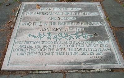
Beyond the colonnade lies a circular stone patio and a tablet dedicated to the men who died in the Battle of Princeton. The memorial was erected in 1918, in memory of the thirty-six unknown soldiers buried nearby, including fifteen American and twenty-one British soldiers. The words engraved on the tablet are those of Alfred Noyes (1880 – 1958), taken from his poem Princeton (1917). Noyes was a visiting professor at Princeton University, and later became Poet Laureate of England.
Created by Chris Wang BSA Troop 88, Princeton, NJ - 1998
Erected by State of New Jersey, Division of Parks and Forestry.
Topics. This historical marker is listed in these topic lists: Architecture • Cemeteries & Burial Sites • War, US Revolutionary. A significant historical year for this entry is 1900.
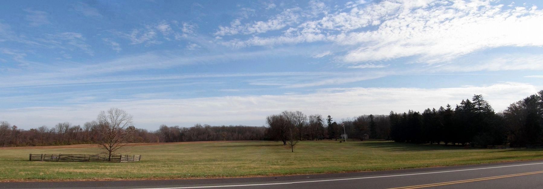
Location. 40° 19.94′ N, 74° 40.567′ W. Marker is in Princeton, New Jersey, in Mercer County. Marker is on Mercer Street, half a mile north of Parkside Drive, on the right when traveling south. This mmarker is on the edge of a large open field in the Princeton Battlefield State Park. Touch for map. Marker is in this post office area: Princeton NJ 08540, United States of America. Touch for directions.
Other nearby markers. At least 8 other markers are within walking distance of this marker. The Mercer Oak (within shouting distance of this marker); This is Hallowed Ground (about 600 feet away, measured in a direct line); Historic Portico Preservation and Rebuilding (about 600 feet away); Burial Site of those who fell in the Battle of Princeton (about 700 feet away); Site of Moulder’s Battery (approx. 0.2 miles away); The British Occupation of New Jersey (approx. 0.2 miles away); General Hugh Mercer (approx. 0.2 miles away); From Trenton to Princeton (approx. Ľ mile away). Touch for a list and map of all markers in Princeton.
Photographed By David Graff, September 18, 2014
8. Tablet in the Circular Stone Patio
Near here lie buried the American and British officers and soldiers who fell in the Battle of Princeton, January 3rd 1777. Here freedom stood by slaughtered friend and foe. And ere the wrath paled or that sunset died. Looked through the ages, then, with eyes aglow. Laid them to wait that future side by side. -- Alfred Noyes 1880-1958
Credits. This page was last revised on January 22, 2020. It was originally submitted on August 12, 2008, by Gary Nigh of Trenton, New Jersey. This page has been viewed 2,084 times since then and 96 times this year. Photos: 1. submitted on January 2, 2013, by Bill Coughlin of Woodland Park, New Jersey. 2, 3, 4, 5, 6. submitted on August 12, 2008, by Gary Nigh of Trenton, New Jersey. 7, 8. submitted on August 18, 2018, by David Graff of Halifax, Nova Scotia. 9. submitted on January 21, 2020, by Larry Gertner of New York, New York. • Kevin W. was the editor who published this page.
