Crescent City in Del Norte County, California — The American West (Pacific Coastal)
Battery Point Lighthouse
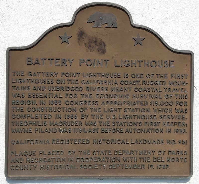
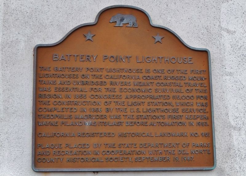
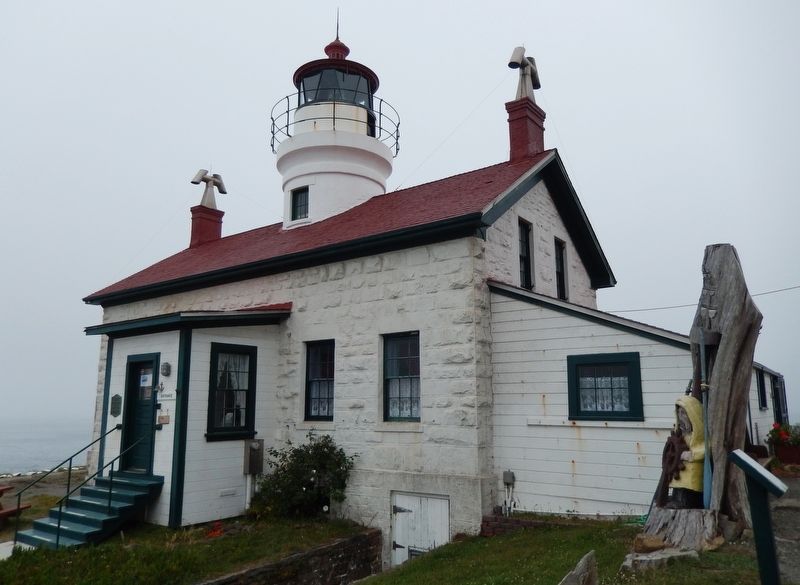
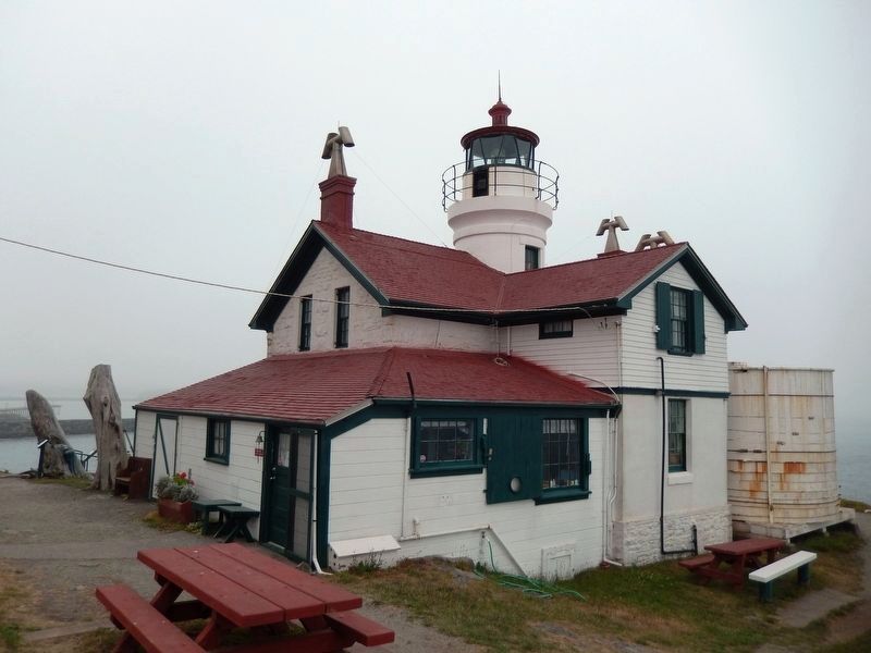
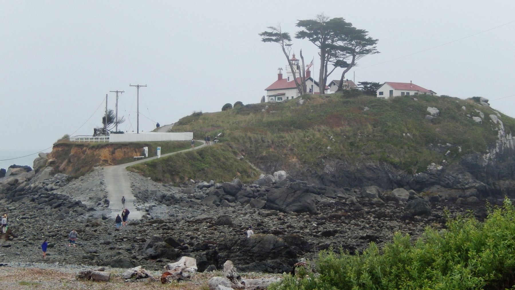
The Battery Point Lighthouse is one of the first lighthouses on the California Coast. Rugged mountains and unbridged rivers meant coastal travel was essential for the economic survival of this region. In 1855 Congress appropriated $15,000 for the construction of the light station, which was completed in 1856 by the U.S. Lighthouse Service. Theophilis Magruder was the station’s first keeper; Wayne Piland was its last before automation in 1953.
Erected 1987 by State Department of Parks and Recreation in cooperation with the Del Norte County Historical Society. (Marker Number 951.)
Topics and series. This historical marker is listed in these topic lists: Communications • Industry & Commerce • Waterways & Vessels. In addition, it is included in the California Historical Landmarks, and the Lighthouses series lists. A significant historical year for this entry is 1856.
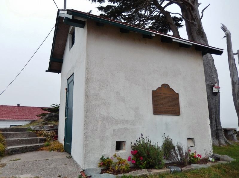
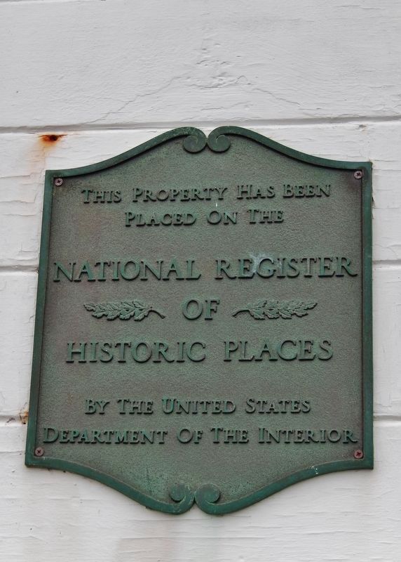
Location. 41° 44.652′ N, 124° 12.184′ W. Marker is in Crescent City, California, in Del Norte County. Marker can be reached from Lighthouse Way. Marker is affixed to the exterior south-facing wall of the lighthouse shed, located on Battery Point Island adjacent to the lighthouse. To see this marker you must visit the lighthouse site. Visits to the Battery Point Lighthouse and Island are only possible at low tide. Touch for map. Marker is in this post office area: Crescent City CA 95531, United States of America. Touch for directions.
Other nearby markers. At least 8 other markers are within walking distance of this marker. Dedication to Henry Sause, Jr. (approx. 0.4 miles away); Remembering Billy Boone (approx. half a mile away); S.S. Emidio (approx. 0.6 miles away); St. George Reef Lighthouse (approx. 0.6 miles away); Brother Jonathan Cemetery (approx. 0.7 miles away); Tsunami ! (approx. 0.7 miles away); Tsunamis are Synonymous With Crescent City (approx. ¾ mile away); Redwood National Park (approx. ¾ mile away). Touch for a list and map of all markers in Crescent City.
Also see . . .
1. Battery Point Lighthouse. Del Norte County Historical Society entry:
The Lighthouse was first lit with oil lamps on December 10, 1856. The Lighthouse is also an active residence with lighthouse keeper. The Lighthouse and its museum is open to the public for tours including opportunities to look into the personal quarters of keepers and their families and the furniture and artifacts they have left behind since the 1850's (Submitted on March 3, 2017, by Cosmos Mariner of Cape Canaveral, Florida.)
2. Battery Point Lighthouse. US Lighthouses entry:
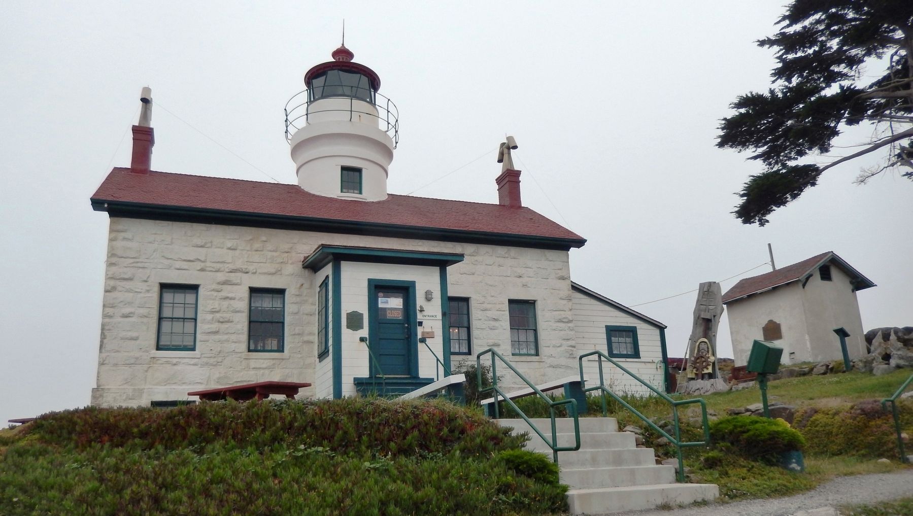
The harbor at Crescent City was booming during the mid-1800s due to massive redwood trees. They were being harvested and loaded onto ships to build San Francisco. The local population successfully petitioned the Government to build a lighthouse at the point. The lighthouse, a stone two-story cottage with a attached brick tower through the center roof, was built at the tip of Battery Point on some rocks jutting out of the Pacific. (Submitted on March 3, 2017, by Cosmos Mariner of Cape Canaveral, Florida.)
3. Battery Point, (Crescent City) Californa. Lighthousefriends entry:
Remarkably, the lighthouse was not harmed when Crescent City received the worst tsunami damage ever suffered along the west coast of the lower forty-eight states. On March 27, 1964, the strongest earthquake ever recorded in the northern hemisphere struck Alaska near Prince William Sound, generating a series of waves that raced south at a speed of nearly 600 mph. The waves reached Crescent City around midnight with crests of up to twenty feet. (Submitted on March 3, 2017, by Cosmos Mariner of Cape Canaveral, Florida.)
Photographed By Cosmos Mariner, July 17, 2014
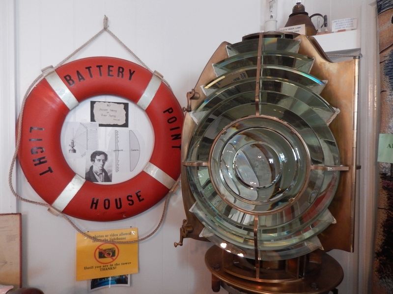
9. 1907 Fourth Order Fresnel Lens
This is the Fourth Order lens that was put into service in the Lighthouse in 1907 when an electric light (200 watt bulb) was used for the first time. A generator in the basement was used only for the bulb. Weights in a tube in the center of the tower staircase were still needed to rotate the clock mechanism. The house did not get electricity until 1936. The earlier lens burned whale oil, later lard oil and finally mineral oil (kerosene).
This lens was removed from the tower in 1953 and replaced with the Fifth Order lens now in use.
Credits. This page was last revised on September 16, 2021. It was originally submitted on March 3, 2017, by Cosmos Mariner of Cape Canaveral, Florida. This page has been viewed 631 times since then and 27 times this year. Photos: 1. submitted on September 16, 2021, by Craig Baker of Sylmar, California. 2, 3, 4, 5. submitted on March 3, 2017, by Cosmos Mariner of Cape Canaveral, Florida. 6, 7, 8. submitted on March 5, 2017, by Cosmos Mariner of Cape Canaveral, Florida. 9. submitted on March 6, 2017, by Cosmos Mariner of Cape Canaveral, Florida. 10. submitted on March 3, 2017, by Cosmos Mariner of Cape Canaveral, Florida. • Syd Whittle was the editor who published this page.
