Near Lake City in Marshall County, South Dakota — The American Midwest (Upper Plains)
Bulldozing the Landscape
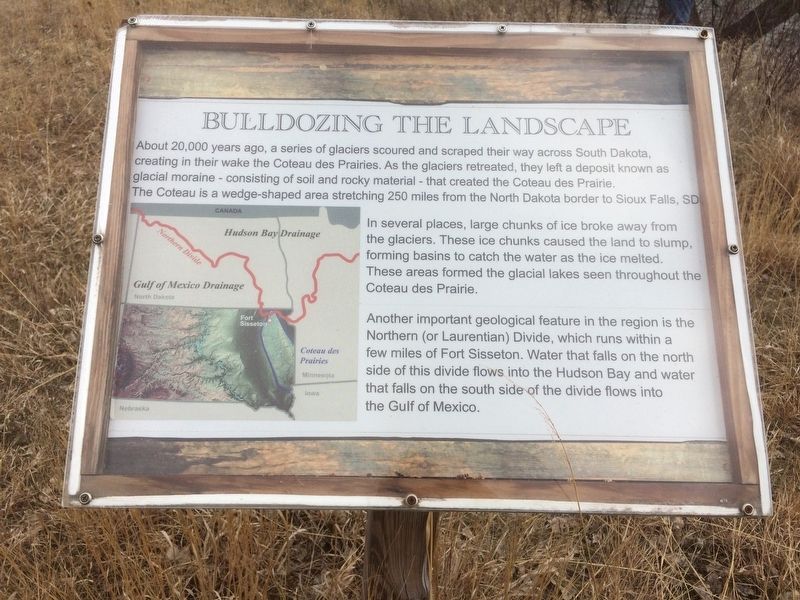
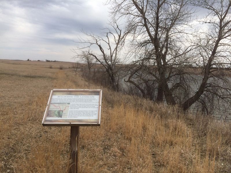
About, 20,000 years ago, a series of glaciers scoured and scraped their way across South Dakota, creating in their wake the Coteau des Prairies. As the glaciers retreated, they left a deposit known as glacial moraine - consisting of soil and rocky material - that created the Coteau des Prairie. The Coteau is a wedge-shaped area stretching 250 miles from the North Dakota border to Sioux Falls, SD.
In several places, large chunks of ice broke away from the glaciers. These ice chunks caused the land to slump, forming basins to catch the water as the ice melted. These areas formed the glacial lakes seen throughout the Coteau des Prairie.
Another important geological feature in the region is the Northern (or Laurentian) Divide, which runs within a few miles of Fort Sisseton. Water that falls on the north side of the divide flows into the Hudson Bay and water that falls on the south side of divide flows into the Gulf of Mexico.
Topics. This historical marker is listed in this topic list: Natural Features.
Location. 45° 39.33′ N, 97° 32.028′ W. Marker is near Lake City, South Dakota, in Marshall County. Marker can be reached from 434th Ave. near 118th Street. This marker is located 1/4 mile from the main post near the water. Touch for map . Marker is at or near this postal address: 11907 434th Ave,, Lake City SD 57247, United States of America. Touch for directions.
Other nearby markers. At least 8 other markers are within walking distance of this marker. Andrew Jackson Fisk Historic Trail (approx. 0.2 miles away); Magazine (approx. 0.2 miles away); Guard House (approx. 0.2 miles away); Commissary/Quartermaster Sergeant's Quarters (approx. 0.2 miles away); Adjutant's Office (approx. 0.2 miles away); Officers' Quarters (approx. 0.2 miles away); The Laundress Quarters (approx. 0.2 miles away); Fort Sisseton (approx. ¼ mile away). Touch for a list and map of all markers in Lake City.
Also see . . . . (Submitted on February 4, 2017, by Ruth VanSteenwyk of Aberdeen, South Dakota.)
Credits. This page was last revised on March 7, 2017. It was originally submitted on February 4, 2017, by Ruth VanSteenwyk of Aberdeen, South Dakota. This page has been viewed 196 times since then and 8 times this year. Last updated on March 4, 2017, by Ruth VanSteenwyk of Aberdeen, South Dakota. Photos: 1, 2, 3. submitted on February 4, 2017, by Ruth VanSteenwyk of Aberdeen, South Dakota. • Bill Pfingsten was the editor who published this page.


