Knoxville in Knox County, Tennessee — The American South (East South Central)
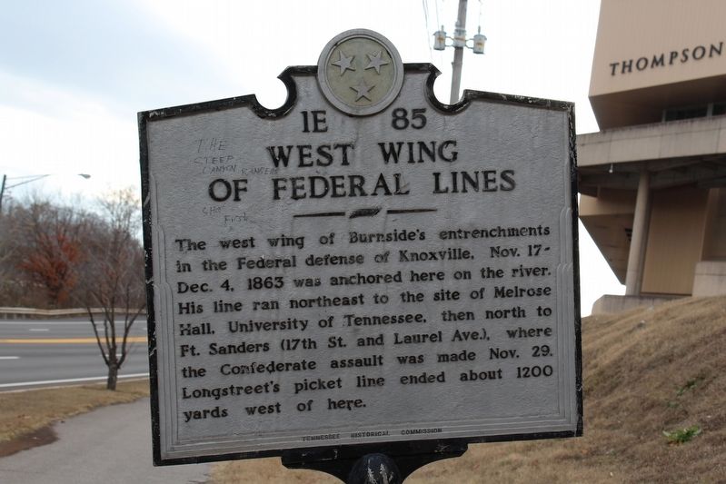
West Wing of Federal Lines
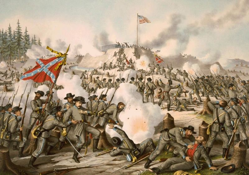
The west wing of Burnside's entrenchments in the Federal defense of Knoxville, Nov. 17 - Dec. 4, 1863 was anchored here on the river. His line ran northeast to the site of Melrose Hall, University of Tennessee, then north to Ft. Sanders (17th St. and Laurel Ave.), where the Confederate assault was make Nov. 29. Longstreet's picket line ended about 1200 yards west of here.
Erected by Tennessee Historical Commission. (Marker Number 1E 85.)
Topics and series. This historical marker is listed in this topic list: War, US Civil. In addition, it is included in the Tennessee Historical Commission series list. A significant historical year for this entry is 1863.
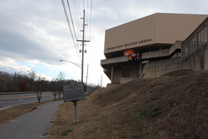
Location. 35° 57.134′ N, 83° 55.429′ W. Marker is in Knoxville, Tennessee, in Knox County. Marker is on Neyland Drive (Tennessee Route 158) 0.2 miles north of Lake Loudoun Boulevard, on the right when traveling west. Marker is located north of the University of Tennessee's Thompson-Boling Arena along the Neyland Greenway. Touch for map. Marker is in this post office area: Knoxville TN 37916, United States of America. Touch for directions.
Other nearby markers. At least 8 other markers are within walking distance of this marker. Neyland Stadium (approx. ¼ mile away); Land Grant University (approx. 0.3 miles away); Desegregation of the University of Tennessee (approx. 0.4 miles away); Wait Field (approx. 0.4 miles away); Fort Byington (approx. half a mile away); Fort Dickerson (approx. half a mile away); James Rufus Agee (approx. half a mile away); General Clifton Bledsoe Cates (approx. half a mile away). Touch for a list and map of all markers in Knoxville.
Credits. This page was last revised on February 15, 2021. It was originally submitted on March 6, 2017, by Tom Bosse of Jefferson City, Tennessee. This page has been viewed 446 times since then and 12 times this year. Photos: 1, 2, 3. submitted on March 6, 2017, by Tom Bosse of Jefferson City, Tennessee. • Bernard Fisher was the editor who published this page.


