Fisherman's Wharf in San Francisco City and County, California — The American West (Pacific Coastal)
San Francisco Bay "Ark"
Photographed by Barry Swackhamer, March 4, 2017
1. San Francisco Bay "Ark" Marker
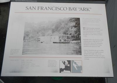
Captions: (main photo) The ark Woinnehaha near Belvedere Island. Guest gather under an awning. A sailing tender waits alongside; (bottom maps) Tiburon and Belvedere Island. The arks wintered in Belvedere Lagoon and moored in Belvedere Cove during the summer. The lagoon was later filled in.
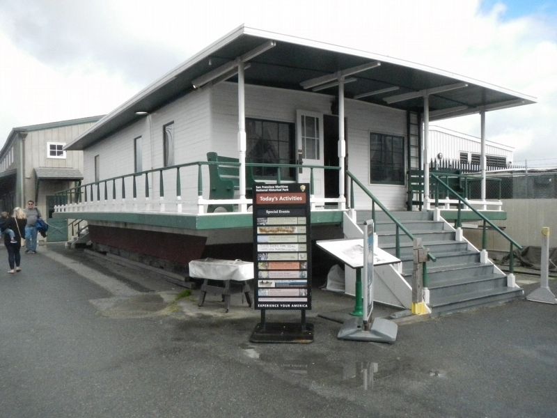
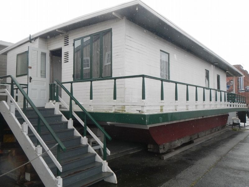
This little houseboat, referred to locally as an ark, was one of several dozen boats for San Francisco families in Belvedere Cove, near Tiburon in Marin County.
Reputedly built for the McGinnis family sometime prior to 1900, this ark was hauled ashore about 1923 and passed through several hands before being donated to the museum in 1969.
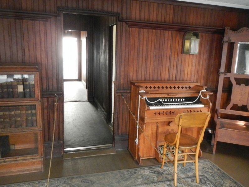
Summer aboard the arks was an idyllic time. The boats were brightly painted and glowed at night with colorful Japanese lanterns. Evenings were spent visiting between boats in neatly finished rowboats.
BASIC FACTS:
Built: c. 1890-1900
Builder: Unknown
Length Overall - 44 feet
Beam on Deck - 25 feet, 6 inches
Draft - 2 feet
Erected by U.S. Department of the Interior. National Park Service, San Francisco Maritime National Historic Park.
Topics. This historical marker is listed in this topic list: Waterways & Vessels. A significant historical year for this entry is 1905.
Location. Marker has been permanently removed.
this page online
We have been informed that this marker is no longer there and will not be replaced. This page is an archival view of what was.
Regionally, this marker was on California’s Coast Ranges. It was also on the American Pacific Coast. Globally, it was in North America, on the Ring of Fire, on the Pacific Rim, in the Western Hemisphere, in the Western World, and in the Anglosphere. Historically, it found itself in what was once New Spain and also Mexico’s Alta California.

Other nearby markers. At least 8 other markers are within walking distance of this location: Lewis Bay Ark (here, next to this marker); Petaluma’s Sternwheel (a few steps from this marker); Wapama’s Engine (a few steps from this marker); Steam Donkey Engine
Photographed by Barry Swackhamer, March 4, 2017
2. San Francisco Bay "Ark" and Marker
Other markers no longer nearby. Triple-Expansion Steam Engine (was a few steps from this marker but has been permanently removed); Hyde Street Pier (was within shouting distance of this marker but has been permanently removed).
More about this marker. Hyde Street Pier, part of the San Francisco Maritime Nation Historical Park, is located at the bottom of Hyde Street.
Related marker. Click here for another marker that is related to this marker. Replacement Marker: Lewis Bay Ark
Also see . . . San Francisco Bay Ark. Addition photographs of San Francisco Bay "Arks." (Submitted on March 6, 2017, by Barry Swackhamer of Brentwood, California.)
Additional commentary.
1. Marker replaced
The marker has been replaced with an updated marker.
— Submitted October 8, 2023, by Joseph Alvarado of Livermore, California.
Additional keywords. Houseboat
Photographed by Barry Swackhamer, March 4, 2017
3. San Francisco Bay "Ark"
Photographed by Barry Swackhamer, March 4, 2017
4. All the comforts of home.
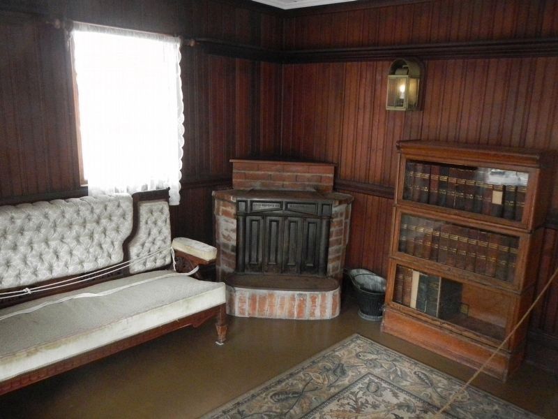
Photographed by Barry Swackhamer, March 4, 2017
5. San Francisco Bay "Ark" Marker
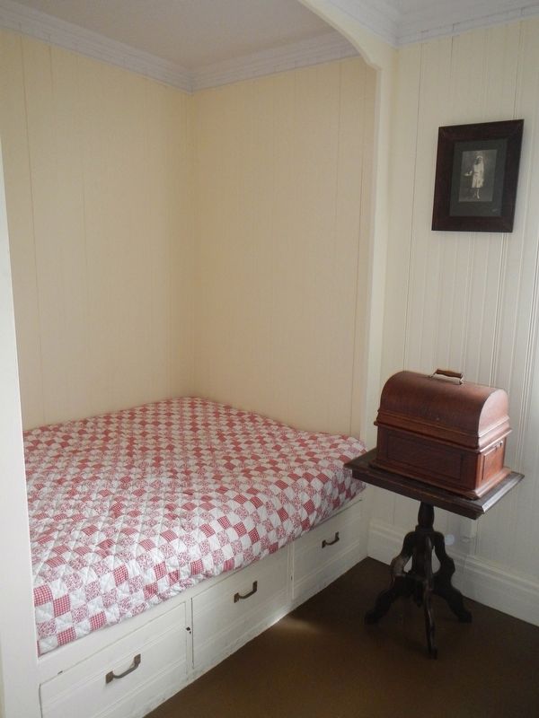
Photographed by Barry Swackhamer, March 4, 2017
6. Sleeping Quarters
Credits. This page was last revised on October 8, 2023. It was originally submitted on March 6, 2017, by Barry Swackhamer of Brentwood, California. This page has been viewed 635 times since then and 28 times this year. Photos: 1, 2, 3, 4, 5, 6. submitted on March 6, 2017, by Barry Swackhamer of Brentwood, California.
