Near Strawberry Plains in Jefferson County, Tennessee — The American South (East South Central)
McBee's Ferry
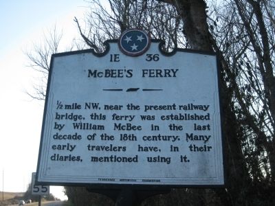
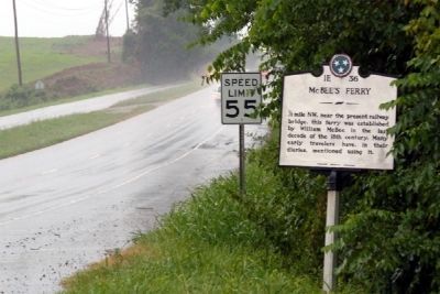
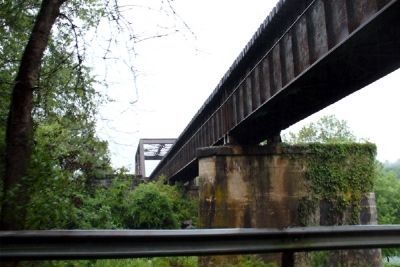
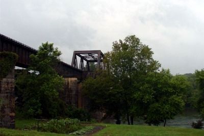
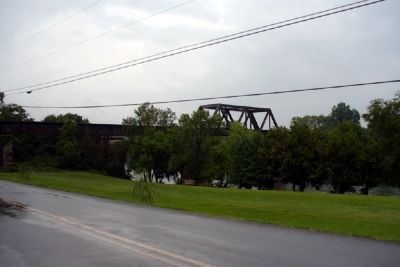
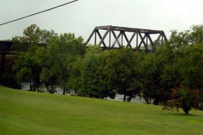
1/2 mile NW, near the present railway bridge, this ferry was established by William McBee in the last decade of the 18th century. Many early travelers have, in their diaries, mentioned using it.
Erected by Tennessee Historical Commission. (Marker Number 1E36.)
Topics and series. This historical marker is listed in these topic lists: Settlements & Settlers • Waterways & Vessels. In addition, it is included in the Tennessee Historical Commission series list.
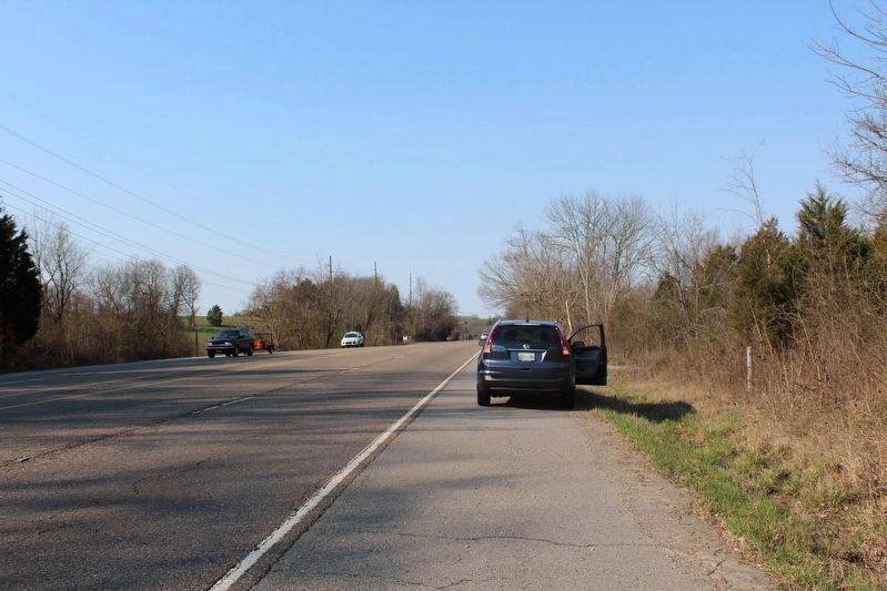
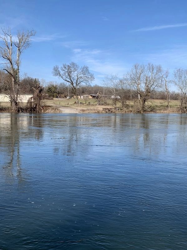
Location. Marker has been reported missing. It was located near 36° 3.702′ N, 83° 41.037′ W. Marker was near Strawberry Plains, Tennessee, in Jefferson County. Marker was on U.S. 11E, on the right when traveling south. The Ferry sits at the corner of Highway 11e, and Old Strawberry Plains Pike. 1000ft westward from East End Road opposite side of road from Holston Memorial Gardens Graveyard. If you turn onto Old Strawberry Plains Pike prior to the first curve, view to the right at the river and you can see where the embankment was used for the Ferry. The Post for the cables from the Ferry are still visible. Touch for map. Marker was in this post office area: Strawberry Plains TN 37871, United States of America. Touch for directions.
Other nearby markers. At least 8 other markers are within 7 miles of this location, measured as the crow flies. Jefferson County / Sevier County (approx. 4.7 miles away); Blaine's Crossroads (approx. 6.4 miles away); Janeway Cabin (approx. 6.4 miles away); Emory Road (approx. 6˝ miles away); Manifold Station (approx. 6.6 miles away); Henry's Station (approx. 6.9 miles away); Dumplin Creek Treaty (approx. 7 miles away); Treaty of Dumplin Creek (approx. 7.1 miles away).
More about this marker. The marker sits at the intersection of Hamilton Street and Highway 11E. The marker is about 1 mile westward from that location.
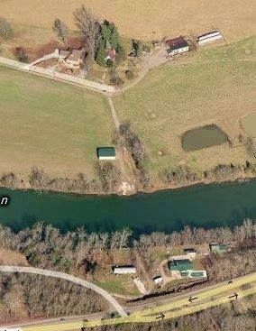
circa April 2015
8. McBee's Ferry Marker aerial View
Ferry's physical location is at the intersection of Old Strawberry Plains Pike and 11E, near East End Road and the East View Memorial Gardens. Once on "OLD Strawberry Plains Pike" prior to first curve view down to river on right you can view where the Ferry once was.
Credits. This page was last revised on February 6, 2023. It was originally submitted on March 11, 2010, by Tom Bosse of Jefferson City, Tennessee. This page has been viewed 2,076 times since then and 82 times this year. Last updated on March 6, 2017, by Tom Bosse of Jefferson City, Tennessee. Photos: 1. submitted on March 11, 2010, by Tom Bosse of Jefferson City, Tennessee. 2. submitted on March 6, 2017, by Tom Bosse of Jefferson City, Tennessee. 3, 4, 5, 6, 7. submitted on July 20, 2010, by Donald Raby of Knoxville, Tennessee. 8. submitted on April 22, 2015. 9. submitted on February 5, 2023, by Sandra Norton of Strawberry Plains, Tennessee. • Bill Pfingsten was the editor who published this page.
