Near Norris in Anderson County, Tennessee — The American South (East South Central)
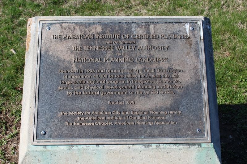
The Tennessee Valley Authority
has designated
The Tennessee Valley Authority
as a
National Planning Landmark
Founded in 1933 and encompassing a multi-state region of more than 40,000 square miles, T.V.A. was the first large-scale regional program in integrated economic, social, and physical development planning undertaken by the federal government of the United States.
Erected 1995 by The Society for American City and Regional Planning History, the American Institute of Certified Planners, the Tennessee Chapter, American Planning Association.
Topics. This historical marker is listed in these topic lists: Charity & Public Work • Industry & Commerce • Man-Made Features. A significant historical year for this entry is 1933.
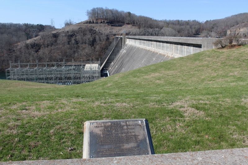
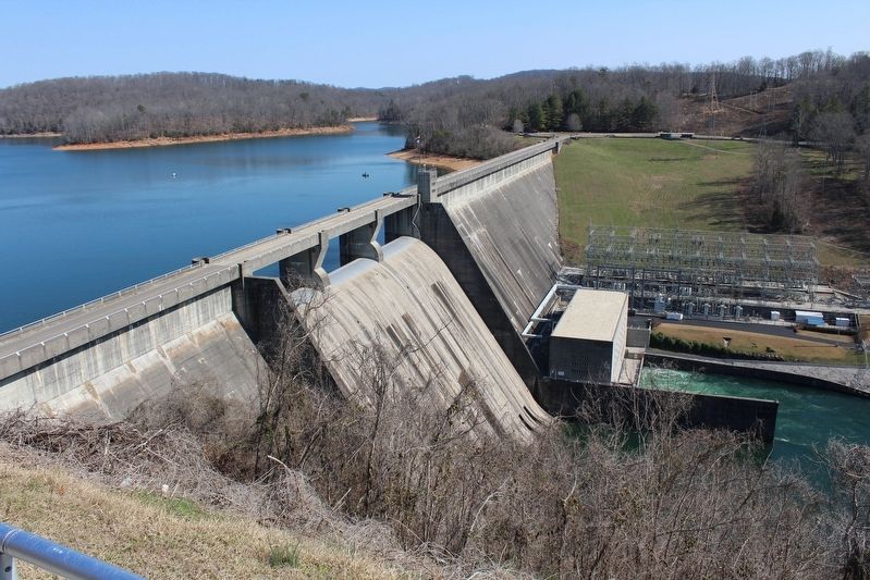
Location. 36° 13.517′ N, 84° 5.3′ W. Marker is near Norris, Tennessee, in Anderson County. Marker can be reached from Norris Freeway (Tennessee Route 441), on the left when traveling north. Marker is located at the Norris Dam Parking Area. Touch for map. Marker is in this post office area: Norris TN 37828, United States of America. Touch for directions.
Other nearby markers. At least 8 other markers are within 5 miles of this marker, measured as the crow flies. Norris Dam (within shouting distance of this marker); The TVA System of Multi-Purpose Dams (approx. 0.4 miles away); Civil War in Anderson County (approx. 1.2 miles away); Ghosts of Convict Miners (approx. 4.4 miles away); Fort Anderson (approx. 4.4 miles away); Why Miners Fought (approx. 4.4 miles away); Coal Creek War (approx. 4.4 miles away); Convict Lease System (approx. 4.4 miles away). Touch for a list and map of all markers in Norris.
Credits. This page was last revised on November 5, 2018. It was originally submitted on March 8, 2017, by Tom Bosse of Jefferson City, Tennessee. This page has been viewed 434 times since then and 28 times this year. Photos: 1, 2, 3. submitted on March 8, 2017, by Tom Bosse of Jefferson City, Tennessee. • Bill Pfingsten was the editor who published this page.


