Near Fort Oglethorpe in Catoosa County, Georgia — The American South (South Atlantic)
Battery I Second Illinois Light Artillery
2nd Brigade - Daniel McCook
| — | 2nd Division - Morgan | — |
Photographed by Dale K. Benington, August 23, 2016
1. Battery I Second Illinois Light Artillery Marker
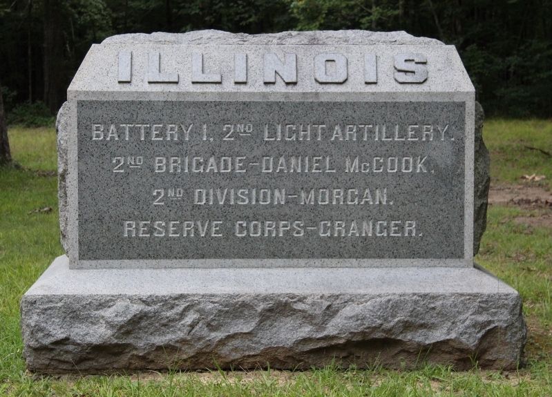
Close-up view of the front side of the monument.
Battery 1, 2nd Light Artillery.
2nd Brigade - Daniel McCook.
2nd Division - Morgan.
Reserve Corps - Granger
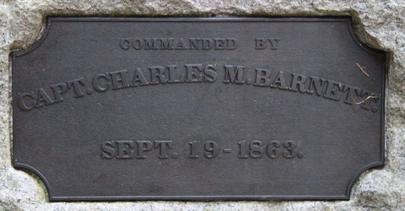
Text on the Back Side of the Monument:
Captain Charles M. Barnett.
September 19, 1863
Erected 1899 by State of Illinois. (Marker Number MT-662.)
Topics. This memorial is listed in this topic list: War, US Civil. A significant historical date for this entry is September 19, 1863.
Location. 34° 55.939′ N, 85° 13.912′ W. Memorial is near Fort Oglethorpe, Georgia, in Catoosa County. It is on Reed's Bridge Road west of Jays Mill Road, on the right when traveling west. This monument is located in the national park that preserves the site of the Chickamauga Battlefield. It is situated with a cluster of markers, located along a park roadway that runs between the Lafayette Road and Jay's Mill Road, a short distance northwest of the National Park's eastern boundary. According to the location information provided by the National Park Service, the monument, "marks unit's position near Peters House site". Touch for map. Memorial is in this post office area:
this page online

Regionally, this memorial is in the Mountains. It is also in the American South and specifically in the Deep South. Globally, it is in North America, the Western Hemisphere, the Western World, and the Anglosphere. Historically, it finds itself in what was once the original Cherokee Nation, the territory of the Mississippian Culture, one of the original Thirteen Colonies, one of the Confederate States of America, and the Antebellum South.
Other nearby markers. At least 8 other markers are within walking distance of this marker: McCook's Brigade (a few steps from this marker); 86th Illinois Infantry (a few steps from this marker); 69th Ohio Infantry Regiment (within shouting distance of this marker); 52nd Ohio Infantry Regiment (within shouting distance of this marker); 125th Illinois Infantry Regiment (within shouting distance of this marker); 85th Illinois Infantry Regiment (within shouting distance of this marker); Mitchell's Brigade (about 700 feet away, measured in a direct line); 4th Michigan Cavalry (approx. 0.2 miles away). Touch for a list and map
Photographed by Dale K. Benington, August 23, 2016
2. Battery I Second Illinois Light Artillery Marker
Close-up view of the text on the back side of the monument.
More about this memorial. According to the description information provided by the National Park Service, the monument is, "a 6'4" x 3'2" x 3' high rock-faced rectangular granite block with an inscribed polished front on a 7'6" x 4'4" x 1'6" high granite base. The tops of both pieces are beveled."
I used the "Chickamauga Battlefield" map, that I purchased at the Chickamauga and Chattanooga National Military Park, Visitor Center, to determine both the marker number for this monument and the monument's location in relation to the rest of the park's monuments, markers, and tablets. According to the map it provides the, "numerical listing of all monuments, markers, and tablets on the Chickamauga Battlefield (using the Chick-Chatt NMP Monument Numbering System).”
Photographed by Dale K. Benington, August 23, 2016
3. Battery I Second Illinois Light Artillery Marker
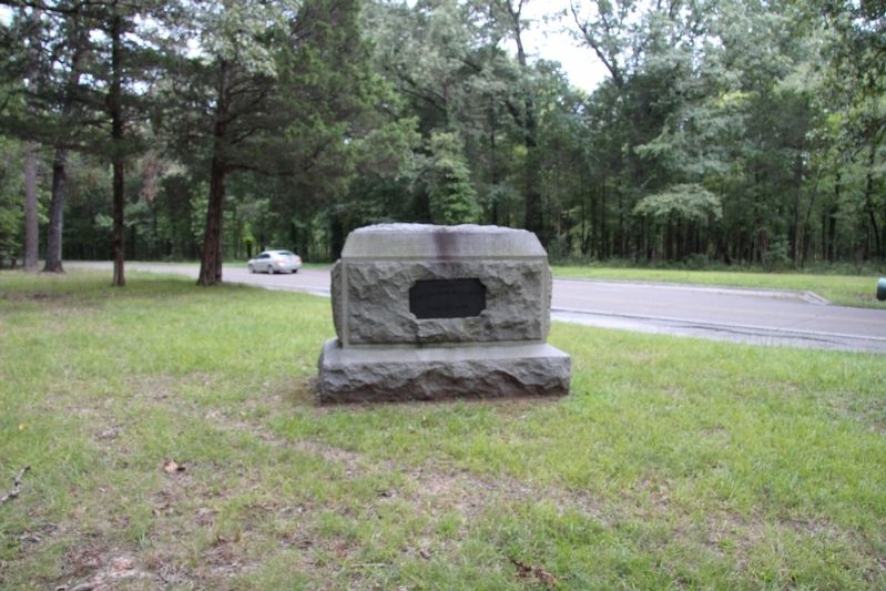
View of the back side of the monument, looking east along the Reed's Bridge Road.
Photographed by Dale K. Benington, August 23, 2016
4. Battery I Second Illinois Light Artillery Marker
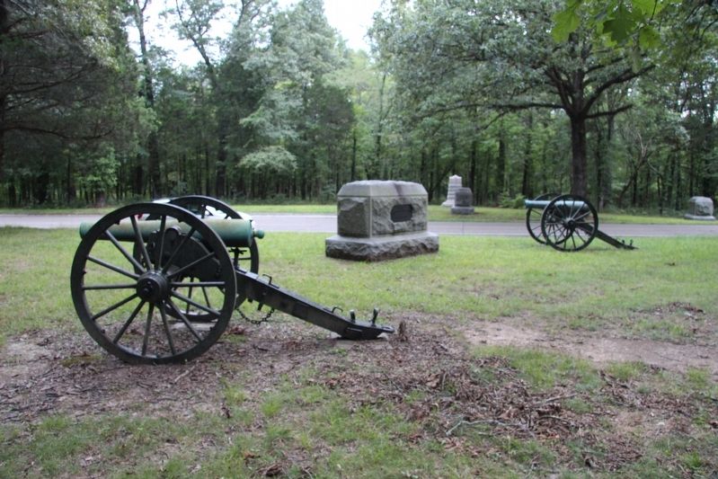
View of the backside of the monument, seen situated between two artillery pieces, looking south, across the Reed's Bridge Road.
Photographed by Dale K. Benington, August 23, 2016
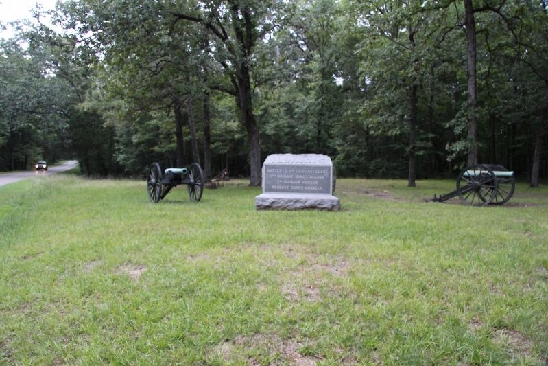
5. Battery I Second Illinois Light Artillery Marker
View of the front side of the monument, looking west along the Reed's Bridge Road.
Photographed by Dale K. Benington, August 23, 2016
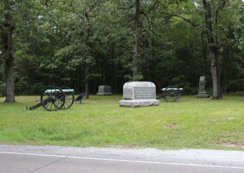
6. Battery I Second Illinois Light Artillery Marker
View of the front side of the monument, seen situated between two artillery pieces, looking north, across the Reed's Bridge Road.
Credits. This page was last revised on October 16, 2020. It was originally submitted on March 17, 2017, by Dale K. Benington of Toledo, Ohio. This page has been viewed 354 times since then and 20 times this year. Photos: 1, 2, 3, 4, 5, 6. submitted on March 18, 2017, by Dale K. Benington of Toledo, Ohio.
