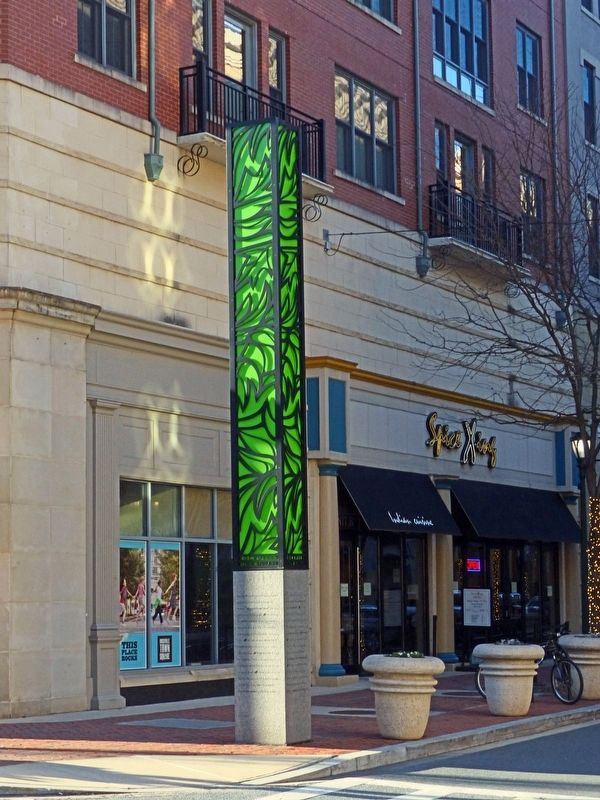
Rockville in Montgomery County, Maryland — The American Northeast (Mid-Atlantic)
Rockville Town Square
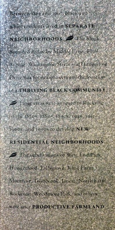
Between 1865 and 1967 black and white residents lived in Separate Neighborhoods. § The block bounded by Middle Lane, Beall Avenue, Washington Street and Hungerford Drive was for nearly a century the location of a Thriving Black Community § Large areas were annexed to Rockville in the 1820s, 1880s, 1890s, 1949, 1950, 1960s, and 1990s to develop New Residential Neighborhoods § The subdivisions of West End Park, Hungerford, Fallsgrove, King Farm, Montrose, Twinbrook, Janeta, North Farm, Rockcrest, Woodmont Park and others were once Productive Farm Land.
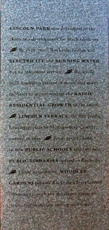
Lincoln Park was developed in the 1890s as development for black residents. § By 1920 most Rockville homes had Electricity and Running Water but no telephone service. § Rockville built a modern system of water and sewer facilities to accommodate the Rapid Residential Growth of the 1950s. § Lincoln Terrace the first public housing project in Montgomery County opened in 1959. § From 1950 to 1980 16 new Public Schools and two new Public Libraries opened in Rockville. § In the early 1960s Woodley Gardens became Rockville's first planned community, with the developer using an innovative mixed-use zoning technique.
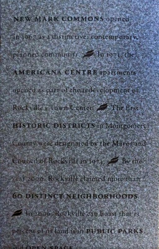
New Mark Commons opened in 1967 as a distinctive contemporary planned community. § In 1971 the Americana Centre apartments opened as part of the redevelopment of Rockville's Town Center. § The first Historic Districts in Montgomery County were designated by the Mayor and Council of Rockville in 1974. § By the year 2000, Rockville claimed more than 60 Distinct Neighborhoods. § In 2006 Rockville can boast that 13 percent of its land is in Public Parks and Open Space.
Topics. This historical marker is listed in these topic lists: African Americans • Notable Places • Settlements & Settlers.
Location. 39° 5.109′ N, 77° 9.124′ W. Marker is in Rockville, Maryland, in Montgomery County. Marker is at the intersection of Gibbs Street and East Middle Lane, on the right when traveling south on Gibbs Street. Touch for map. Marker is at or near this postal address: 100 Gibbs Street, Rockville MD 20850, United States of America. Touch for directions.
Other nearby markers. At least 8 other markers are within walking distance of this marker. Father Divine Birthplace (a few steps from this marker); a different marker also named Rockville Town Square (about 300 feet away, measured in a direct line); Rockville Business District (about 400 feet away); Galilean Temple (about 400 feet away); Red Brick Courthouse (about 400 feet away); Gibbs v. Broome, et al. / 1931 Courthouse (about 400 feet away); Montgomery County Court House (about 500 feet away); Rockville (about 500 feet away). Touch for a list and map of all markers in Rockville.
Photographed By Allen C. Browne, March 11, 2017
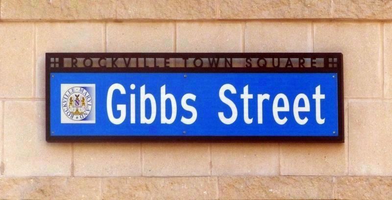
6. Gibbs Street
Gibbs Street is named for William Gibbs, the principal of the Rockville Colored Elementary School, who in 1937 with his attorney Thurgood Marshall challenged Montgomery County's policy of paying black teachers half what they paid white teachers. Montgomery County settled and black teachers thereafter earned equal pay. Gibbs, however, was fired.
Credits. This page was last revised on March 20, 2017. It was originally submitted on March 17, 2017, by Allen C. Browne of Silver Spring, Maryland. This page has been viewed 244 times since then and 19 times this year. Photos: 1, 2, 3, 4, 5, 6. submitted on March 17, 2017, by Allen C. Browne of Silver Spring, Maryland. • Bill Pfingsten was the editor who published this page.
