Near Redfield in Spink County, South Dakota — The American Midwest (Upper Plains)
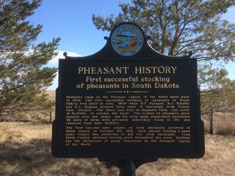
Pheasant History
First successful stocking of pheasants in South Dakota
Photographed by Ruth VanSteenwyk, March 19, 2017
1. Pheasant History Marker
Readfield's claim as the Pheasant Capital of the World dates back to 1908. The first successful stocking of pheasants in South Dakota took place in June, 1908 when H.P. Packard, H.J. Schalke and H.A. Hagman secured three pairs of pheasants from Grants Pass, Oregon. The three men went to Hagman's Farm, just north of Redfield, to release the birds. The number of pheasants grew steadily over the years, and the state game department purchased 48 pairs of birds with privately subscribed funds in 1911 and released them near Redfield.
The first one-day open season on cock pheasants occurred in Spink County on October 30, 1919. Each person holding a small game license was permitted to kill two cock pheasants. From Spink County, pheasant hunting grew throughout the state. Redfield has the distinction of being registered as the Pheasant Capitol of the World.
Erected 2009 by the City of Redfield with the Redfield Area Chamber of Commerce. (Marker Number 739.)
Topics and series. This historical marker is listed in these topic lists: Animals • Anthropology & Archaeology. In addition, it is included in the South Dakota State Historical Society Markers
this page online
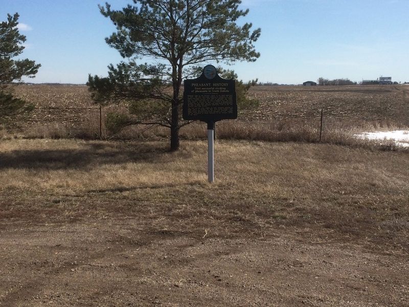
Location. 44° 55.05′ N, 98° 30.746′ W. Marker is near Redfield, South Dakota, in Spink County. It is on U.S. 281 0.4 miles north of 171st Street, on the right when traveling north. Touch for map. Marker is in this post office area: Redfield SD 57469, United States of America. Touch for directions.

Regionally, this marker is in East River and specifically in the James River Valley. It is also in the American Lewis & Clark Corridor, on the prairies, and on the Northern Plains. Globally, it is in North America, the Western Hemisphere, the Western World, and the Anglosphere. Historically, it finds itself in what was once Rupert’s Land and also the Louisiana Purchase.
Other nearby markers. At least 7 other markers are within 8 miles of this marker, measured as the crow flies: Abbie Gardner (a few steps from this marker); Council Rock (within shouting distance of this marker); In Recognition of World War I Veterans (approx. 2.2 miles away); Redfield Carnegie Library (approx. 2.7 miles away); Peter Norbeck (approx. 2.9 miles away); Spink County Courthouse Veterans Memorial
Photographed by Ruth VanSteenwyk, March 19, 2017
2. Pheasant History Marker
Credits. This page was last revised on April 20, 2025. It was originally submitted on March 19, 2017, by Ruth VanSteenwyk of Aberdeen, South Dakota. This page has been viewed 858 times since then and 62 times this year. Photos: 1, 2. submitted on March 19, 2017, by Ruth VanSteenwyk of Aberdeen, South Dakota. • Bill Pfingsten was the editor who published this page.
