Duck River in Maury County, Tennessee — The American South (East South Central)
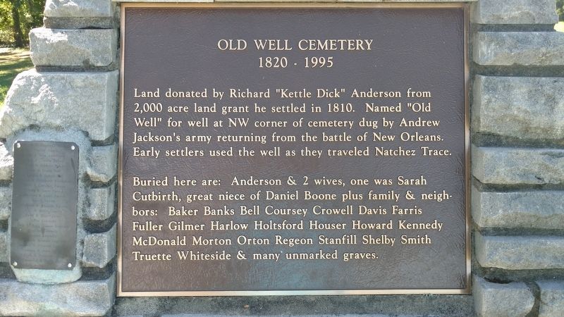
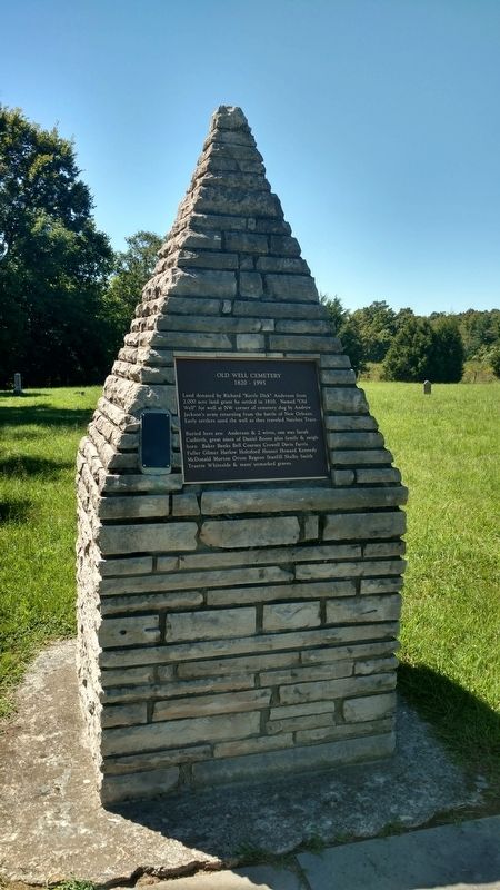
Old Well Cemetery
1820 - 1995
Buried here are: Anderson & 2 wives, one was Sarah Cutbirth, great niece of Daniel Boone plus family & neighbors: Baker Banks Bell Coursey Crowell Davis Farris Fuller Gilmer Harlow Holtsford Houser Howard Kennedy McDonald Morton Orton Regeon Stanfill Shelby Smith Truette Whiteside & many unmarked graves.
Topics and series. This historical marker is listed in this topic list: Cemeteries & Burial Sites. In addition, it is included in the Former U.S. Presidents: #07 Andrew Jackson series list. A significant historical year for this entry is 1810.
Location. 35° 41.2′ N, 87° 18.85′ W. Marker is in Duck River, Tennessee, in Maury County. Marker is on She Boss Road. Touch for map. Marker is in this post office area: Hampshire TN 38461, United States of America. Touch for directions.
Other nearby markers. At least 8 other markers are within 2 miles of this marker, measured as the crow flies. Old Trace Walk (approx. 0.6 miles away); The Natchez Trace at the Tobacco Farm (approx. 1.3 miles away); Tobacco Farm - Old Trace (approx. 1.3 miles away); The Tobacco Barn (approx. 1.3 miles away); Tennessee Tobacco Farm (approx. 1.3 miles away); Jackson Branch – A Stolen Stream (approx. 1.3 miles away); Natchez Trace Parkway (approx. 1.4 miles away); Highland Rim Section (approx. 1.4 miles away).
Credits. This page was last revised on March 21, 2017. It was originally submitted on March 20, 2017, by Brandon Fletcher of Chattanooga, Tennessee. This page has been viewed 380 times since then and 34 times this year. Photos: 1, 2. submitted on March 20, 2017, by Brandon Fletcher of Chattanooga, Tennessee. • Bill Pfingsten was the editor who published this page.

