Pascagoula in Jackson County, Mississippi — The American South (East South Central)
President Zachary Taylor's Summer Home Site
United States of America
Photographed by Mark Hilton, March 22, 2017
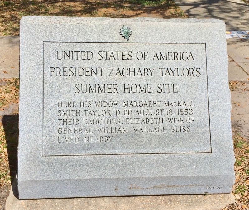
1. President Zachary Taylor's Summer Home Site Marker
President Zachary Taylor's
Summer Home Site
Here his widow Margaret MacKall
Smith Taylor, died August 18, 1852.
Their daughter, Elizabeth, wife of
General William Wallace Bliss,
lived nearby.
Erected 2003 by Daughters of the American Revolution.
Topics and series. This historical marker is listed in this topic list: Parks & Recreational Areas. In addition, it is included in the Daughters of the American Revolution (DAR), and the Former U.S. Presidents: #12 Zachary Taylor series lists. A significant historical date for this entry is August 18, 1852.
Location. 30° 20.616′ N, 88° 32.067′ W. Marker is in Pascagoula, Mississippi, in Jackson County. It is on Beach Boulevard west of City Park Street, on the right when traveling west. Touch for map. Marker is at or near this postal address: 600 City Park Street, Pascagoula MS 39567, United States of America. Touch for directions.

Regionally, this marker is in the American South, specifically in the Deep South, and on the Gulf Coast. Globally, it is in North America, a Gulf of Mexico state, the Western Hemisphere, the Western World, and the
this page online
Other nearby markers. At least 8 other markers are within walking distance of this marker: Camp Jefferson Davis (within shouting distance of this marker); Navy Houses (about 400 feet away, measured in a direct line); Camp Jefferson Davis - Soldiers Return From The Mexican War - 1848 (about 500 feet away); Camp Twiggs and the Military Asylum 1849-1855 (approx. 0.3 miles away); Camp Lawson – Military Hospital on Greenwood Island – 1848 (approx. 0.3 miles away); The Longfellow House (approx. 0.4 miles away); Clark House (approx. ¾ mile away); St. Peter Missionary Baptist Church (approx. one mile away). Touch for a list and map of all markers in Pascagoula.
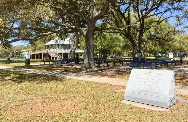
More about this marker. This granite marker, in Pascagoula's Beach Park, survived the high waters of Hurricane Katrina, and most of the trees survived, but the million-dollar homes along this beach promendade were destroyed.
Gone is another plaque that stood in
Photographed by Mark Hilton, March 22, 2017
2. President Zachary Taylor's Summer Home Site Marker at Beach Park.
Zachary Taylor was an early developer of the city and laid out several of her streets still in use today.
Photographed by Mark Hilton, March 22, 2017
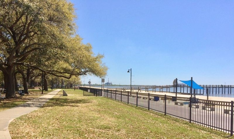
3. President Zachary Taylor's Summer Home Site Marker with view east on Beach Boulevard.
Public Domain, 1849
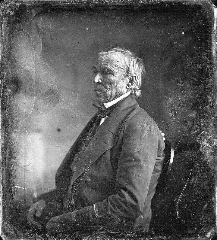
4. Zachary Taylor
Daguerreotype of Gen. Zachary Taylor, taken at the White House, by photographer Mathew Brady, in March 1849. Courtesy of the Beinecke Rare Book & Manuscript Library, Yale University.
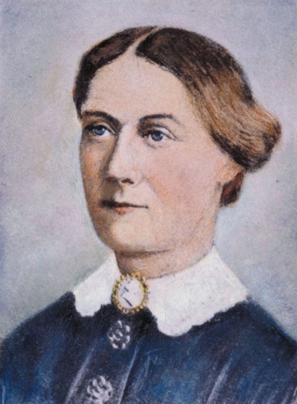
Public Domain PD-US
5. Margaret "Peggy" Mackall Smith Taylor
Credits. This page was last revised on November 23, 2019. It was originally submitted on March 23, 2017, by Mark Hilton of Montgomery, Alabama. This page has been viewed 1,453 times since then and 77 times this year. Photos: 1, 2, 3, 4, 5. submitted on March 23, 2017, by Mark Hilton of Montgomery, Alabama.
