Near Grand Bay in Mobile County, Alabama — The American South (East South Central)
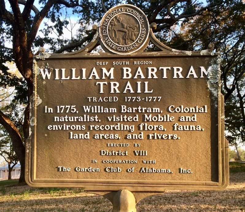
William Bartram Trail
Traced 1773-1777
| — | Deep South Region | — |
Photographed by Mark Hilton, March 22, 2017
1. William Bartram Trail Marker
Erected by the National Council of State Garden Clubs, District VIII, in cooperation with The Garden Club of Alabama, Inc.
Topics and series. This historical marker is listed in these topic lists: Exploration • Horticulture & Forestry • Waterways & Vessels. In addition, it is included in the William Bartram Trails series list. A significant historical year for this entry is 1775.
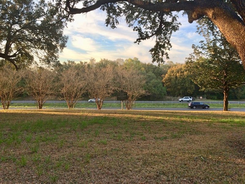
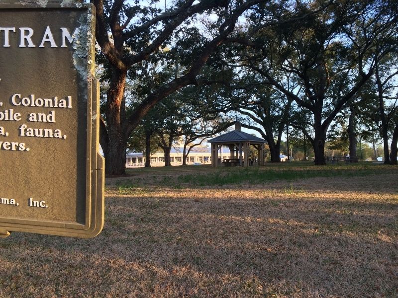
Location. 30° 28.717′ N, 88° 23.355′ W. Marker is near Grand Bay, Alabama, in Mobile County. It can be reached from Interstate 10 2 miles east of Franklin Creek Road. Located at the State of Alabama Welcome Center, in the picnic pavilion area along the eastbound lane of I-10. Touch for map. Marker is at or near this postal address: 10226 Hall Rd, Grand Bay AL 36541, United States of America. Touch for directions.

Regionally, this marker is on the Gulf Coast, in the Mobile Bay area, and specifically in the Mobile Metropolitan Area. It is also in the American South, specifically in the Deep South, and on the
this page online
Other nearby markers. At least 8 other markers are within 10 miles of this marker, measured as the crow flies: Mark 8 Projectile (about 500 feet away, measured in a direct line); The Final Stretch of I-10 (approx. 2.9 miles away in Mississippi); Military Service Monument (approx. 2.9 miles away in Mississippi); Grand Bay Elementary School for Colored (approx. 4.3 miles away); Alabama's Coastal Connection (approx. 9.9 miles away); Bayou La Batre, Alabama (approx. 9.9 miles away); a different marker also named Bayou La Batre (approx. 9.9 miles away); Ingalls Shipbuilding (approx. 9.9 miles away in Mississippi). Touch for a list and map of all markers in Grand Bay.
Also see . . . The Encyclopedia of Alabama on William Bartram. (Submitted on March 23, 2017, by Mark Hilton of Montgomery, Alabama.)
Photographed by Mark Hilton, March 22, 2017
2. William Bartram Trail Marker near Interstate 10 Eastbound lane.
Photographed by Mark Hilton, March 22, 2017
3. View from marker of rebuilt Alabama Welcome Center.
Public Domain PD-US
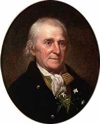
4. William Bartram (April 20, 1739 – July 22, 1823)
Credits. This page was last revised on March 23, 2025. It was originally submitted on March 23, 2017, by Mark Hilton of Montgomery, Alabama. This page has been viewed 914 times since then and 39 times this year. Photos: 1, 2, 3, 4. submitted on March 23, 2017, by Mark Hilton of Montgomery, Alabama.
