Pascagoula in Jackson County, Mississippi — The American South (East South Central)
Camp Jefferson Davis
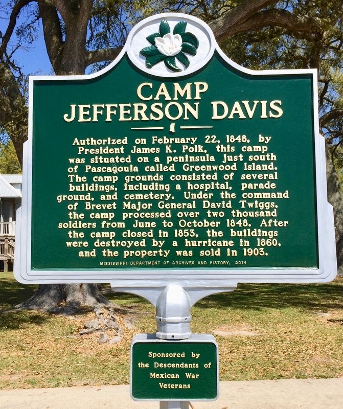
Photographed by Mark Hilton, March 22, 2017
1. Camp Jefferson Davis Marker
Sub-Panel
Sponsored by the Descendants of Mexican War Veterans
Erected 2014 by the Mississippi Department of Archives and History.
Topics and series. This historical marker is listed in these topic lists: Cemeteries & Burial Sites • Military • Notable Places • War, Mexican-American. In addition, it is included in the Mississippi State Historical Marker Program series list. A significant historical date for this entry is February 22, 1848.
Location. 30° 20.616′ N, 88° 32.088′ W. Marker is in Pascagoula, Mississippi, in Jackson County. It is on Beach Boulevard west of City Park Street, on the right when traveling
this page online

Regionally, this marker is in the American South, specifically in the Deep South, and on the Gulf Coast. Globally, it is in North America, a Gulf of Mexico state, the Western Hemisphere, the Western World, and the Anglosphere. Historically, it finds itself in what was once New Spain, the Viceroyalty of New France, the territory of the Mississippian Culture, one of the Confederate States of America, and the Antebellum South.
Other nearby markers. At least 8 other markers are within walking distance of this marker: President Zachary Taylor's Summer Home Site (within shouting distance of this marker); Navy Houses (about 500 feet away, measured in a direct line); Camp Jefferson Davis - Soldiers Return From The Mexican War - 1848 (about 600 feet away); Camp Twiggs and the Military Asylum 1849-1855 (approx. 0.3 miles away); Camp Lawson – Military Hospital on Greenwood Island – 1848 (approx. 0.3 miles away); The Longfellow House
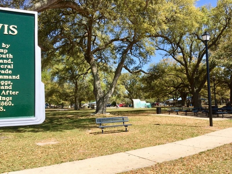
Photographed by Mark Hilton, March 22, 2017
2. Former location of Camp Jefferson Davis, now the 14 acre Beach Park.
Also see . . . Fort Wiki article on Camp Jefferson Davis. (Submitted on March 24, 2017, by Mark Hilton of Montgomery, Alabama.)
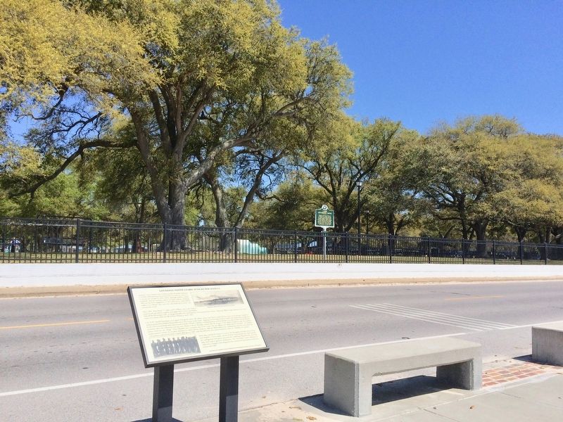
Photographed by Mark Hilton, March 22, 2017
3. View of Camp Jefferson Davis Marker & former camp location from Pascagoula Promenade.
Credits. This page was last revised on June 1, 2018. It was originally submitted on March 24, 2017, by Mark Hilton of Montgomery, Alabama. This page has been viewed 1,325 times since then and 245 times this year. Photos: 1, 2, 3. submitted on March 24, 2017, by Mark Hilton of Montgomery, Alabama.
