Near Hungry Horse in Flathead County, Montana — The American West (Mountains)
Bad Rock Canyon
Photographed by Cosmos Mariner, July 2, 2013
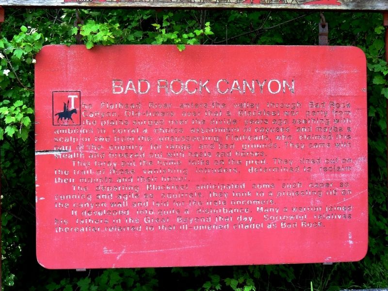
1. Bad Rock Canyon Marker
The Flathead River enters the valley through Bad Rock Canyon. Old-timers aver that a Blackfeet war party from the plains surged over the divide years ago seething with ambition to corral a choice assortment of cayuses and maybe a scalp or two from the unsuspecting Flatheads, who claimed this part of the country for range and bed grounds. They came with stealth and breezed out with haste and horses.
This foray put the home folks on the prod. They lined out on the trail of those vanishing intruders, determined to reclaim their mounts and their honor.
The departing Blackfeet anticipated some such caper so, cunning and agile as squirrels, they took to a projecting rib on the canyon wall and laid for the irate oncomers.
It developed into quite a disturbance. Many a warrior joined his fathers in the Great Beyond that day. Sorrowful relatives thereafter referred to that ill-omened citadel as Bad Rock.
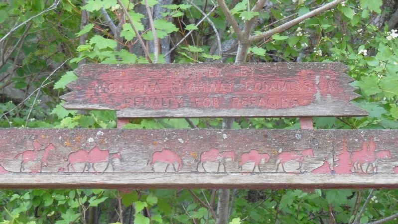
Erected by Montana Highway Commission.
Topics. This historical marker is listed in this topic list: Indigenous Peoples and Communities.
Location. 48° 23.127′ N, 114° 6.225′ W.
this page online

Regionally, this marker is in Western Montana and in Glacier Country. It is also in the American Mountain West and in the Lewis & Clark Corridor. Globally, it is in North America, the Rocky Mountains, the Western Hemisphere, the Western World, and the Anglosphere. Historically, it finds itself in what was once Rupert’s Land and also the Louisiana Purchase.
Other nearby markers. At least 8 other markers are within 16 miles of this marker, measured as the crow flies: Berne Roadside Park (about 300 feet away, measured in a direct line); Surrounded by Wilderness (about 400 feet away); Hungry Horse Clearing Ball (approx. 1.9 miles away); The Legend of Hungry Horse (approx. 1.9 miles away); Historic Belton Depot (approx. 9.6 miles away); Belton Chalet (approx. 9.6 miles
Photographed by Cosmos Mariner, July 2, 2013
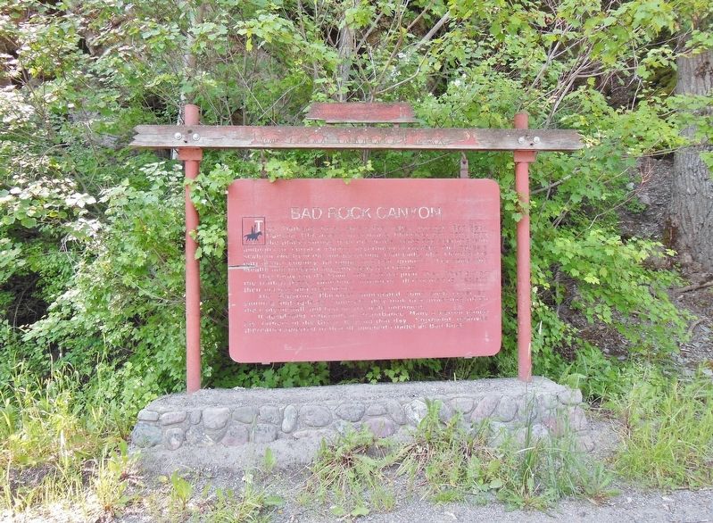
2. Bad Rock Canyon Marker (wide view)
More about this marker. Marker is wooden and severely weathered.
Also see . . .
1. Bad Rock Canyon.
The Great Northern Railway was constructed through BadrockCanyon in 1891. Prior to that, in 1890, the railroad contracted with Shepard Siems & Company to construct a road on the opposite side of the river to carry supplies to the railroad workers. The high canyon walls on the south side of the river were a major obstacle to the contractor, requiring extensive blasting to carve the road high above the canyon’s floor. When completed in 1891, the road was so steep in places that wagons had to be lowered down it by ropes tied to trees – thus it was called the “Tote Road” by the local residents. It was not until sometime between 1906 and 1914 that the county built a new highway through the canyon, bypassing the old tote road with a more user-friendly thoroughfare. (Submitted on March 24, 2017, by Cosmos Mariner of Cape Canaveral, Florida.)
2. Blackfoot Indian Facts.
Photographed by Cosmos Mariner, July 2, 2013
3. Bad Rock Canyon Marker (marker top detail)
The Blackfoot population was known for being difficult to get along with. They fought with those living in close proximity to them including the Assiniboine, Cree, Crows, Flatheads, Kutenai, and the Sioux. (Submitted on March 24, 2017, by Cosmos Mariner of Cape Canaveral, Florida.)
3. Ql’ispé (Pend d’Oreille or Kalispel) and Séliš (Salish or Flathead) People.
In the Salish language, the people the Europeans named the “Flathead” called themselves Séliš (pronounced SEH-lish) which is anglicized as Salish. There are a number of possible historical explanations for why the Salish were referred to as Flatheads, but the name is a misnomer. (Submitted on March 24, 2017, by Cosmos Mariner of Cape Canaveral, Florida.)
Credits. This page was last revised on March 26, 2017. It was originally submitted on March 24, 2017, by Cosmos Mariner of Cape Canaveral, Florida. This page has been viewed 1,389 times since then and 75 times this year. Photos: 1, 2, 3. submitted on March 24, 2017, by Cosmos Mariner of Cape Canaveral, Florida. • Bill Pfingsten was the editor who published this page.
