Piercy in Mendocino County, California — The American West (Pacific Coastal)
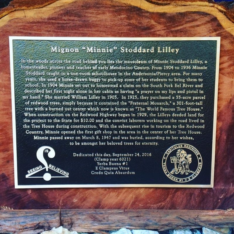
Mignon "Minnie" Stoddard Lilley
Yerba Buena Chapter 1 Capitulus Redivivus of the Ancient and Honorable Order of E Clampus Vitus
1. Mignon "Minnie" Stoddard Lilley Marker
this page online
Erected 2016 by Yerba Buena #1 E Clampsus Vitus Credo Quia Absurdum.
Topics and series. This historical marker is listed in these topic lists: Education • Settlements & Settlers • Women. In addition, it is included in the E Clampus Vitus series list. A significant historical date for this entry is March 8, 1947.
Location. 39° 55.133′ N, 123° 45.886′ W. Marker is in Piercy, California, in Mendocino County. It can be reached from U.S. 101. Marker is located at Confusion Hill. Touch for map. Marker is at or near this postal address: 75001 US-101, Piercy CA 95587, United States of America. Touch for directions.

Regionally, this marker is in California’s Wine Country, in the North Coast, and specifically on the Coast Ranges. It is also on the American Pacific Coast and in the Pacific Northwest. Globally, it is in North America, on the Ring of Fire, on the Pacific Rim, in the Western Hemisphere, in the Western World, and in the Anglosphere. Historically, it finds itself in what was once New Spain and also Mexico’s Alta
April 1, 2018
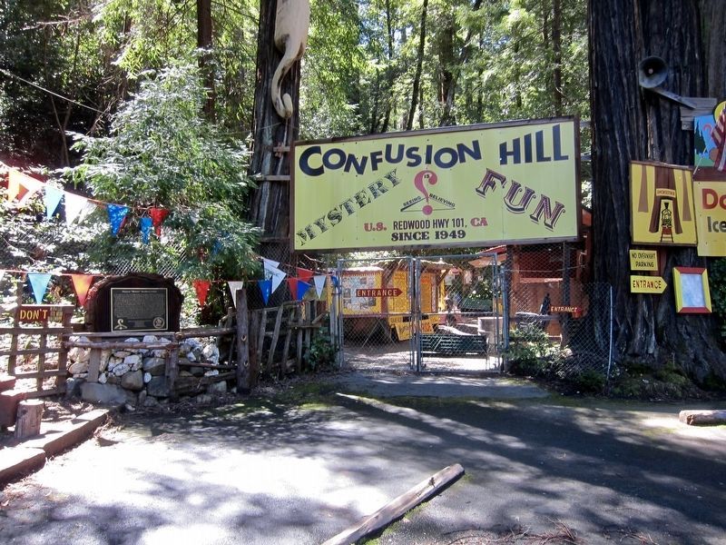
2. Mignon "Minnie" Stoddard Lilley Marker - Wide View
Other nearby markers. At least 6 other markers are within 8 miles of this marker, measured as the crow flies: Confusion Hill (within shouting distance of this marker); Plane Crash Site Memorial Marker (about 300 feet away, measured in a direct line); Famous One-Log House (approx. 6.4 miles away); Drag Saw (approx. 6.4 miles away); Richardson Grove Historic Lodge (approx. 7½ miles away); Paving the Way (approx. 7½ miles away).
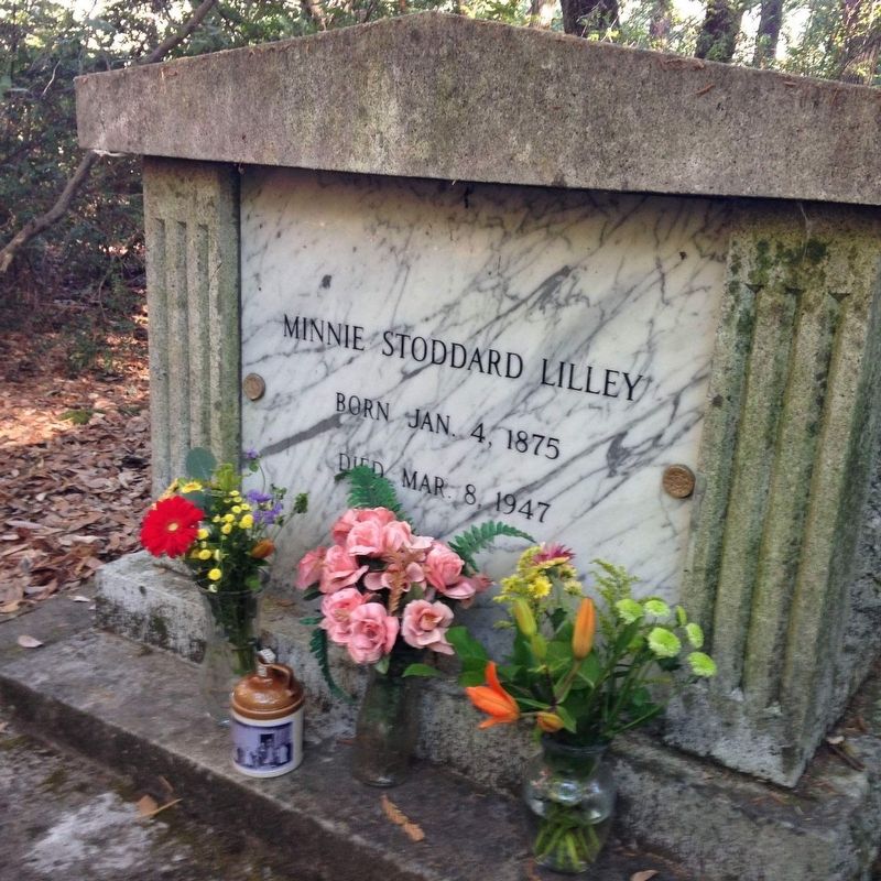
3. Mausoleum of Mignon "Minnie" Stoddard Lilley
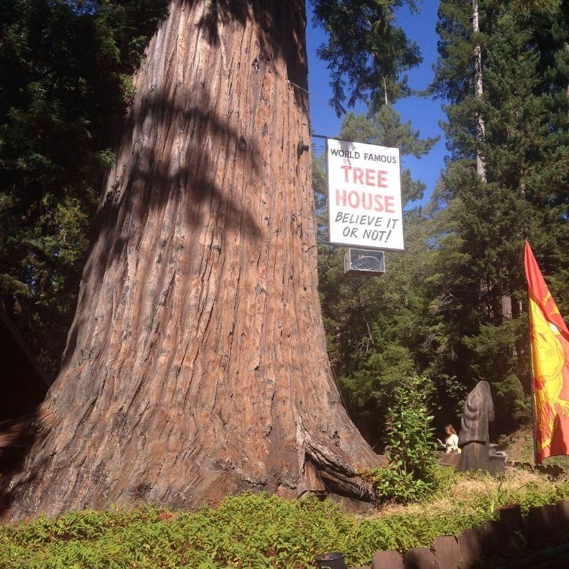
4. The World Famous Tree House
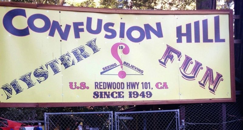
5. Confusion Hill
Sign above the entrance a few steps to the left of the marker.
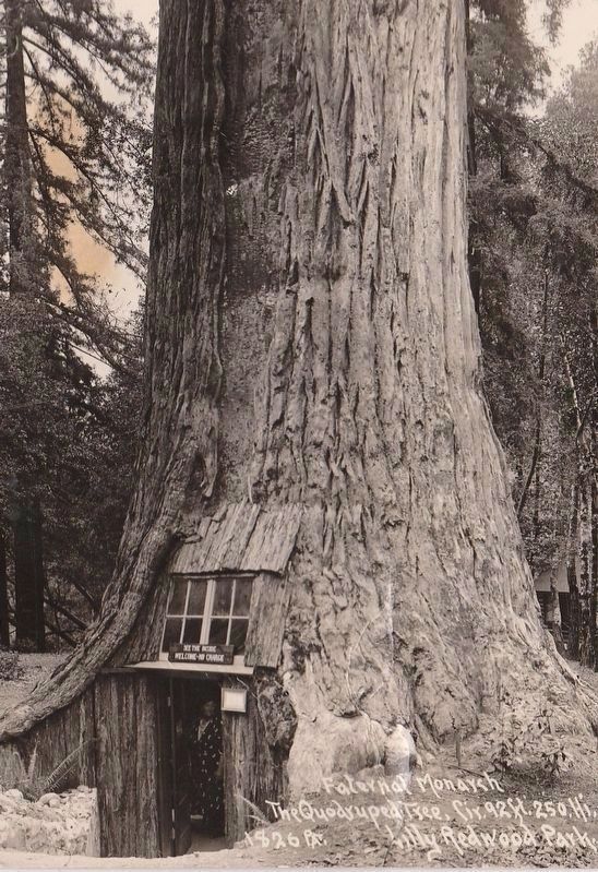
circa 1948
6. Vintage Postcard View of the Tree House
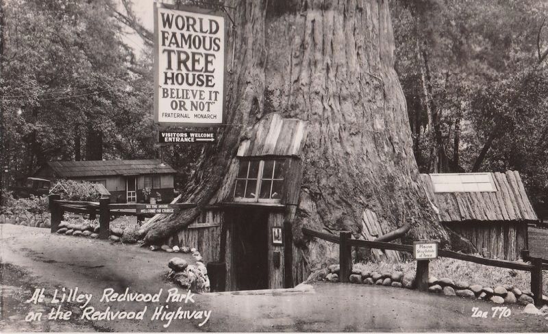
circa 1948
7. Vintage Postcard View of the Tree House
Credits. This page was last revised on January 6, 2022. It was originally submitted on March 25, 2017, by Frank Gunshow Sanchez of Hollister, California. This page has been viewed 1,500 times since then and 98 times this year. Photos: 1. submitted on March 25, 2017. 2. submitted on April 6, 2018. 3, 4, 5. submitted on March 25, 2017. 6, 7. submitted on April 1, 2017. • Syd Whittle was the editor who published this page.
