Pascagoula in Jackson County, Mississippi — The American South (East South Central)
Louisiana Native Guard Attacks Pascagoula
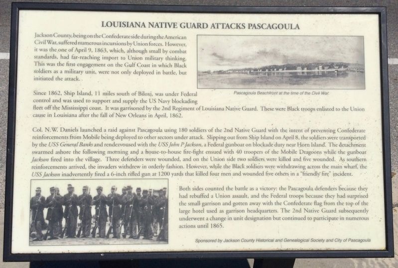
Jackson County, being on the Confederate side during the American Civil War, suffered numerous incursions by Union forces. However, it was the one of April 9, 1863, which, although small by combat standards, had far-reaching import to Union military thinking. This was the first engagement on the Gulf Coast in which Black soldiers as a military unit, were not only deployed in battle, but initiated the attack.
Since 1862, Ship Island, 11 miles south of Biloxi, was under Federal control and was used to support and supply the US Navy blockading fleet off the Mississippi coast. It was garrisoned by the 2nd Regiment of Louisiana Native Guard. These were Black troops enlisted to the Union cause in Louisiana after the fall of New Orleans in April, 1862.
Col. N W. Daniels launched a raid against Pascagoula using 180 soldiers of the 2nd Native Guard with the intent of preventing Confederate reinforcements from Mobile being deployed to other sectors under attack. Slipping out from Ship Island on April 8, the soldiers were transported by the USS General Banks and rendezvoused with the USS John P Jackson, a Federal gunboat on blockade duty near Horn Island. The detachment swarmed ashore the following morning and a house-to-house fire-fight ensued with 40 troopers of the Mobile Dragoons while the gunboat Jackson fired into the village. Three defenders were wounded, and on the Union side two soldiers were killed and five wounded. As southern reinforcements arrive the invaders withdrew in orderly fashion. However, while the Black soldiers were withdrawing across the main wharf, the USS Jackson inadvertently fired a 6-inch rifled gun at 1200 yards that killed four men and wounded five others in a "friendly fire" incident.
Both sides counted the battle as a victory: the Pascagoula defenders because they had rebuffed a Union assault, and the Federal troops because they had surprised the small garrison and gotten away with the Confederate flag from the top of the large hotel used as garrison headquarters. The 2nd Native Guard subsequently underwent a change in unit designation but continued to participate in numerous actions until 1865.
[Photo caption]
Top right: Pascagoula Beachfront at the time of the Civil War.
Erected 2012 by the Jackson County Historical and Genealogical Society & the City of Pascagoula.
Topics. This historical marker is listed in these topic lists: African Americans • War, US Civil • Waterways & Vessels. A significant historical date for this entry is April 9, 1863.
Location. 30° 20.61′ N, 88° 32.097′ W. Marker is in Pascagoula, Mississippi, in Jackson
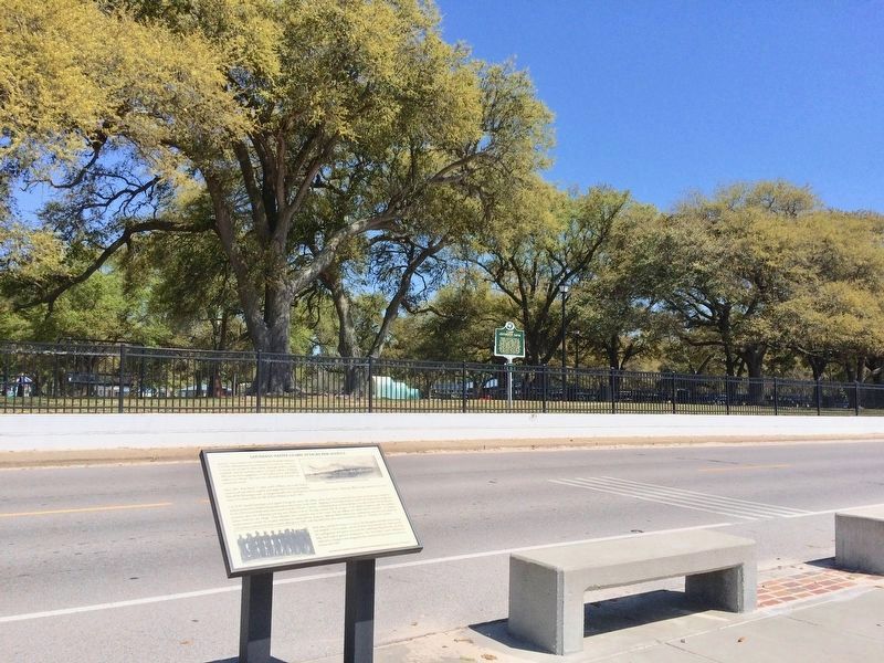
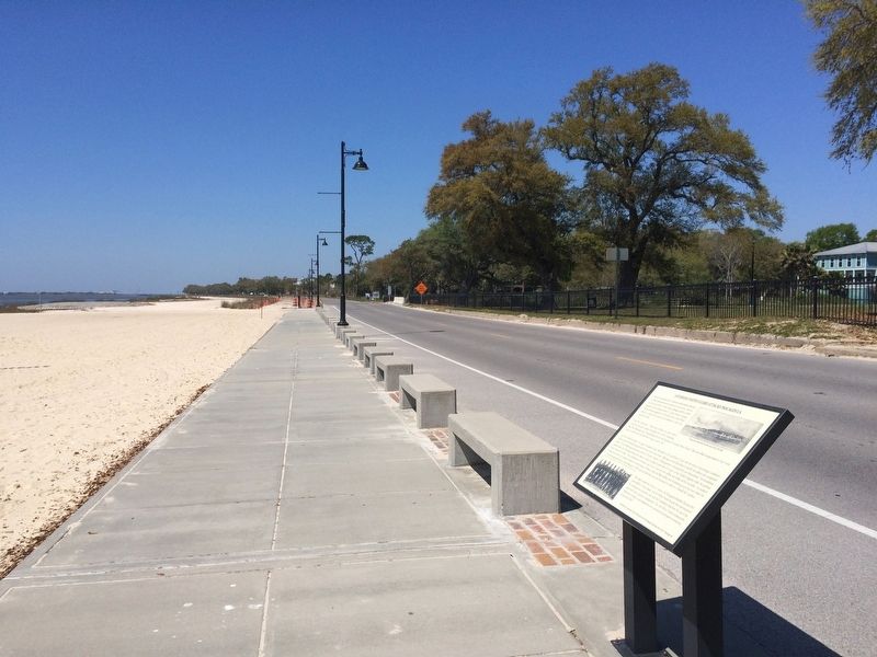
County. Marker is on Beach Boulevard east of Oliver Street, on the right when traveling east. Touch for map. Marker is at or near this postal address: 600 City Park Street, Pascagoula MS 39567, United States of America. Touch for directions.
Other nearby markers. At least 8 other markers are within walking distance of this marker. Camp Jefferson Davis (a few steps from this marker); President Zachary Taylor's Summer Home Site (within shouting distance of this marker); Camp Jefferson Davis - Soldiers Return From The Mexican War - 1848 (about 700 feet away, measured in a direct line); Camp Twiggs and the Military Asylum 1849-1855 (approx. 0.3 miles away); Camp Lawson – Military Hospital on Greenwood Island – 1848 (approx. 0.3 miles away); The Longfellow House (approx. 0.4 miles away); Clark House (approx. ¾ mile away); St. Peter Missionary Baptist Church (approx. 0.9 miles away). Touch for a list and map of all markers in Pascagoula.
Also see . . . Second Louisiana Native Guard. NPS Gulf Islands National Seashore website entry (Submitted on January 5, 2022, by Larry Gertner of New York, New York.)
Credits. This page was last revised on January 5, 2022. It was originally submitted on March 26, 2017, by Mark Hilton of Montgomery, Alabama. This page has been viewed 613 times since then and 56 times this year. Photos: 1, 2, 3. submitted on March 26, 2017, by Mark Hilton of Montgomery, Alabama.


