Pascagoula in Jackson County, Mississippi — The American South (East South Central)
Round Island Lighthouse
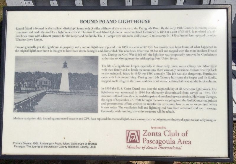
Round Island is located in the shallow Mississippi Sound only 3 miles offshore of the entrance to the Pascagoula River. By the early 19th Century increasing coastal commerce had made the need for a lighthouse critical. This first Round Island lighthouse was completed December 1, 1833 at a cost of $5,895. It consisted of a 45-foot brick tower with adjacent quarters for the keeper and his family. The lamps were said to be visible over 12 miles away. In 1853 a Fresnel lens replaced the older Winslow Lewis Lamps.
Erosion gradually put the lighthouse in jeopardy and a second lighthouse replaced it in 1859 at a cost of $7,130. No records have been found of what happened to the original lighthouse but it is thought to have been storm damaged and dismantled. The new brick tower was 50-feet tall and topped with the more modern Fresnel lens. During the Civil War (1861-65) the light lens was temporarily removed by Confederate authorities to Montgomery for safekeeping from Union forces.
The life of a lighthouse keeper, especially in those early times, was a solitary one. Most lived with their family and to break the monotony there were only occasional visitors or a trip back to the mainland. Salary in 1853 was $500 annually. The job was also dangerous. Hurricanes came with little forewarning. During one 19th Century hurricane the keeper and his family, trapped, took refuge in the tower and described waves crashing half way up the brick column.
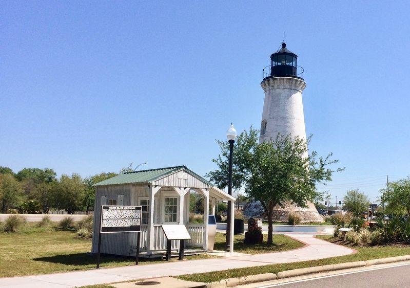
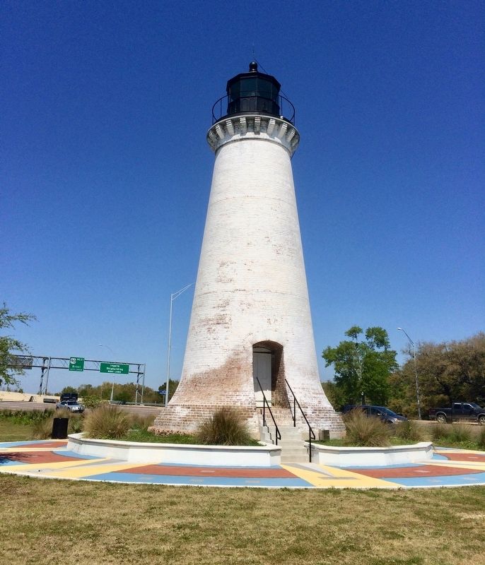
In 1939 the U. S. Coast Guard took over the responsibility of all American lighthouses. The lighthouse was automated in 1944 but ultimately discontinued from service in 1954. The structure suffered from the effects of disrepair and unrelenting wave erosion. Hurricane Georges the night of September 27, 1998, brought the tower toppling into the Gulf Concerted private and governmental efforts evolved to transfer the remaining base to more secure land where it rests today. The ventilation ball and lightning rod have been recovered and are in storage. Eventually, with funding, the entire structure will be rebuilt.
Modern navigation aids, including automated beacons and GPS, have replaced the manned lighthouses leaving them as poignant reminders of a past we can only imagine.
Primary Source: 150th Anniversary Round lsland Lighthouse by Brenda Finnegan, The Journal of the Jackson County Historical Society, 2008
Erected 2014 by the Jackson County Historical and Genealogical Society & the Zonta Club.
Topics and series. This historical marker is listed in these topic lists: Communications • Disasters • Waterways & Vessels. In addition, it is included in the Lighthouses series list. A significant historical date for this entry is September 27, 1998.
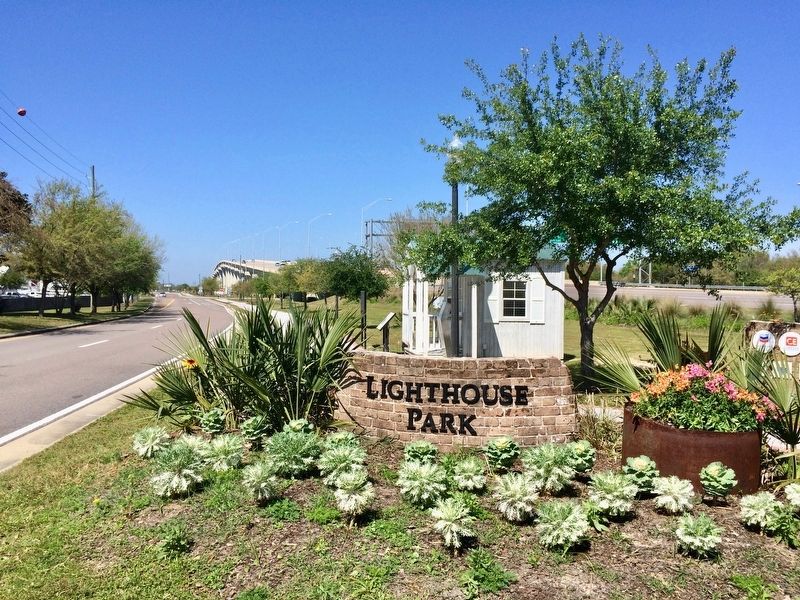
Location. 30° 22.236′ N, 88° 33.371′ W. Marker is in Pascagoula, Mississippi, in Jackson County. Marker is on Cypress Street west of Pascagoula Street, on the right when traveling west. Located next to the Round Island Lighthouse ticket building. There is no parking available in the immediate vicinity of the lighthouse. Touch for map. Marker is at or near this postal address: Cypress Street, Pascagoula MS 39567, United States of America. Touch for directions.
Other nearby markers. At least 8 other markers are within walking distance of this marker. A different marker also named Round Island Lighthouse (here, next to this marker); a different marker
also named Round Island Lighthouse (a few steps from this marker); Pascagoula Street Railroad and Power Company (about 700 feet away, measured in a direct line); Pascagoula River Basin Ecosystem (approx. 0.2 miles away); Captain H.H. Colle House (approx. ¼ mile away); Dr. Joseph A. Tabor House (approx. ¼ mile away); Colle Company Housing (approx. ¼ mile away); Pascagoula Fire Fighters (approx. ¼ mile away). Touch for a list and map of all markers in Pascagoula.
Also see . . .
1. Friends of the Round Island Lighthouse. (Submitted on March 28, 2017, by Mark Hilton of Montgomery, Alabama.)
2. Wikipedia article on the Round Island Lighthouse. (Submitted on March 28, 2017, by Mark Hilton of Montgomery, Alabama.)
Credits. This page was last revised on September 27, 2020. It was originally submitted on March 28, 2017, by Mark Hilton of Montgomery, Alabama. This page has been viewed 309 times since then and 20 times this year. Photos: 1, 2, 3, 4. submitted on March 28, 2017, by Mark Hilton of Montgomery, Alabama.


