Pascagoula in Jackson County, Mississippi — The American South (East South Central)
Round Island Lighthouse
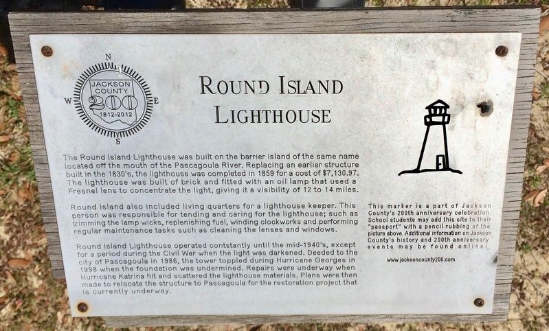
Photographed by Mark Hilton, March 22, 2017
1. Round Island Lighthouse Marker
this page online
Erected 2012 by Jackson County.
Topics and series. This historical marker is listed in these topic lists: Disasters • Notable Buildings • Waterways & Vessels. In addition, it is included in the Lighthouses series list. A significant historical year for this entry is 1859.
Location. 30° 22.235′ N, 88° 33.363′ W. Marker is in Pascagoula, Mississippi, in Jackson County. It can be reached from Cypress Street west of Pascagoula Street. Located near the Round Island Lighthouse ticket building. There is no parking available in the immediate vicinity of the lighthouse. Touch for map. Marker is at or near this postal address: Cypress Street, Pascagoula MS 39567, United States of America. Touch for directions.

Regionally, this marker is in the American South, specifically in the Deep South, and on the Gulf Coast. Globally, it is in North America, a Gulf of Mexico state, the Western Hemisphere, the Western World, and the Anglosphere. Historically, it finds itself in what was once New Spain, the Viceroyalty of New France, the territory of the Mississippian Culture, one of the Confederate States of
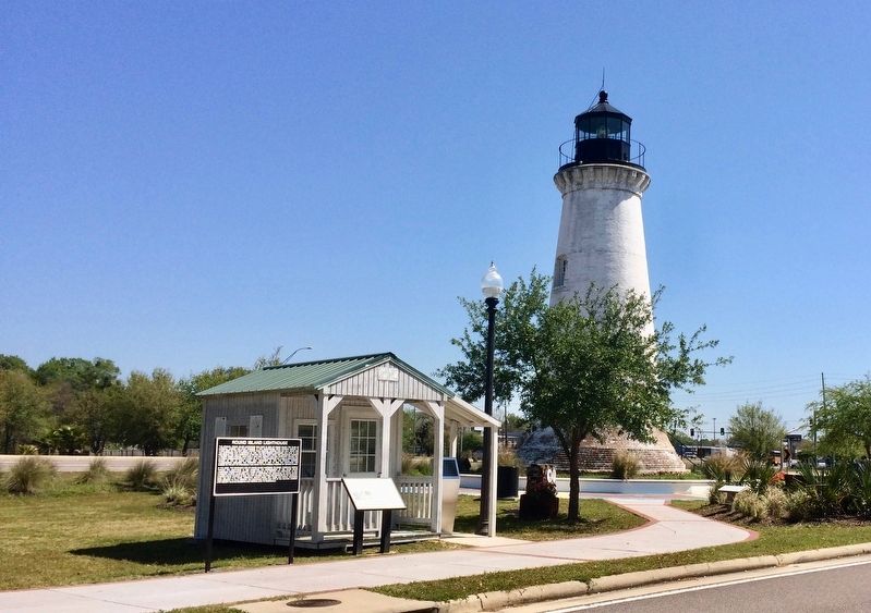
Photographed by Mark Hilton, March 22, 2017
2. Marker can be seen to the right of the small tree, in the little garden area.
Other nearby markers. At least 8 other markers are within walking distance of this marker: A different marker also named Round Island Lighthouse (a few steps from this marker); a different marker also named Round Island Lighthouse (a few steps from this marker); Pascagoula Street Railroad and Power Company (about 700 feet away, measured in a direct line); Pascagoula River Basin Ecosystem (approx. 0.2 miles away); Captain H.H. Colle House (approx. ¼ mile away); Dr. Joseph A. Tabor House (approx. ¼ mile away); Pascagoula Fire Fighters (approx. ¼ mile away); Colle Company Housing (approx. ¼ mile away). Touch for a list and map of all markers in Pascagoula.
More about this marker. Erected as part of the Jackson County Bicentennial (1812 - 2012). The restoration mentioned on this marker has been completed.
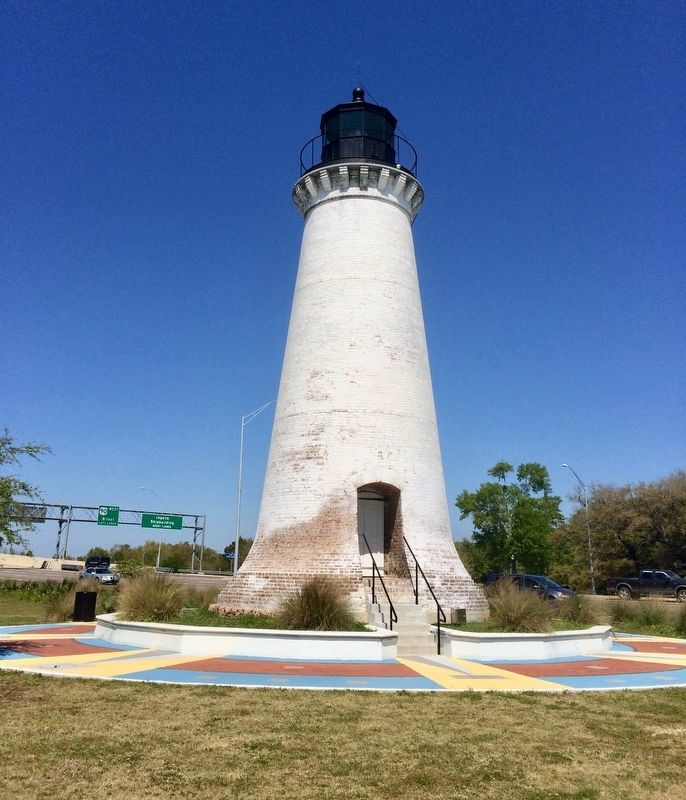
Photographed by Mark Hilton, March 22, 2017
3. Round Island Lighthouse
Credits. This page was last revised on March 29, 2017. It was originally submitted on March 29, 2017, by Mark Hilton of Montgomery, Alabama. This page has been viewed 544 times since then and 33 times this year. Photos: 1, 2, 3. submitted on March 29, 2017, by Mark Hilton of Montgomery, Alabama.
