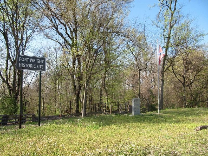
Randolph in Tipton County, Tennessee — The American South (East South Central)
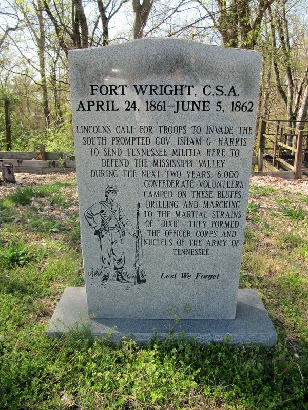
Fort Wright, C.S.A.
April 24, 1861—June 5, 1862
Lincolns call for troops to invade the
south prompted Gov. Isham G. Harris
to send Tennessee militia here to
defend the Mississippi valley.
During the next two years, 6,000
Confederate volunteers
camped on these bluffs,
drilling and marching
to the martial strains
of "Dixie". They formed
the officer corps and
nucleus of the Army of
Tennessee
Lest we forget
Topics. This memorial is listed in these topic lists: Forts and Castles • War, US Civil. A significant historical date for this entry is April 24, 1861.
Location. 35° 31.25′ N, 89° 53.243′ W. Marker is in Randolph, Tennessee, in Tipton County. Memorial is on Randolph Road, 0.1 miles south of Mills Road, on the left when traveling north. Touch for map. Marker is in this post office area: Drummonds TN 38023, United States of America. Touch for directions.
Other nearby markers. At least 8 other markers are within 9 miles of this marker, measured as the crow flies. Twin Defenses (approx. ¼ mile away); Randolph United Methodist Church (approx. ¼ mile away); Randolph (approx. ¼ mile away); Munford United Methodist Church (approx. 6½ miles away); Mt. Zion — Munford (approx. 6.6 miles away); a different marker also named Randolph (approx. 7.7 miles away); Outer Breastworks (approx. 8.2 miles away); Atoka Evangelical Presbyterian Church (approx. 8½ miles away). Touch for a list and map of all markers in Randolph.
Credits. This page was last revised on March 30, 2017. It was originally submitted on March 30, 2017, by Marvin Seibert of Ketchikan, Alaska. This page has been viewed 372 times since then and 20 times this year. Photos: 1, 2. submitted on March 30, 2017, by Marvin Seibert of Ketchikan, Alaska. • Bernard Fisher was the editor who published this page.

