St. Clair Shores in Macomb County, Michigan — The American Midwest (Great Lakes)
Lake St. Clair (Lac Sainte Claire)
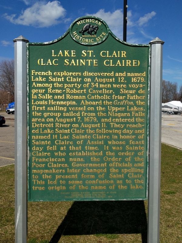
Photographed by Joel Seewald, April 1, 2017
1. Lake St. Clair (Lac Sainte Claire) Marker
Erected 1979 by Michigan History Division, Department of State. (Marker Number S520.)
Topics and series. This historical marker is listed in these topic lists: Exploration • Religion & Religious Structures • Waterways & Vessels. In addition, it is included in the Michigan Historical Commission series list. A significant historical date for this entry is August 12, 1679.
Location. 42° 29.743′ N,
this page online

Regionally, this marker is in Southeast Michigan and in Greater Detroit. It is also in the American Midwest. Globally, it is in North America, on the Great Lakes, in the Western Hemisphere, in the Western World, and in the Anglosphere. Historically, it finds itself in what was once the Northwest Territory.
Other nearby markers. At least 8 other markers are within 2 miles of this marker, measured as the crow flies: Selinsky-Green Log House (about 300 feet away, measured in a direct line); Lake Shore Church (about 700 feet away); VFW Post 1146 Veterans Memorial (approx. 0.4 miles away); Corporal Walter F. Bruce VFW Post 1146 (approx. 0.4 miles away); the Davis Block (approx.
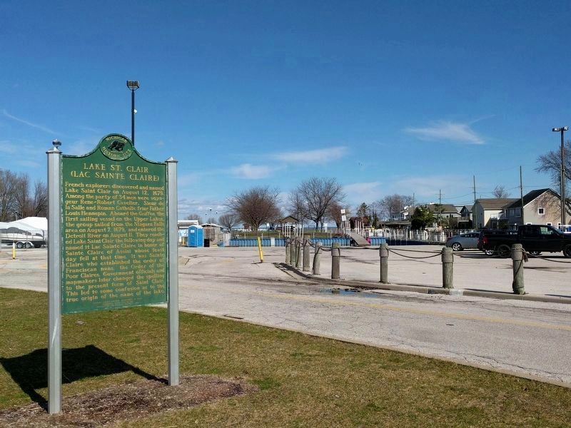
Photographed by Joel Seewald, April 1, 2017
2. Lake St. Clair (Lac Sainte Claire) Marker
A canal leading to Lake Saint Clair runs in front of the houses on the right. The lake itself can barely be seen in the background, past the harbor, about 0.2 miles away.
Also see . . .
1. René-Robert Cavelier, Sieur de La Salle. Wikipedia article about René-Robert Cavelier. (Submitted on April 3, 2017, by Joel Seewald of Madison Heights, Michigan.)
2. Louis Hennepin. Wikipedia article about Father Hennepin. (Submitted on April 3, 2017, by Joel Seewald of Madison Heights, Michigan.)
3. Le Griffon. Wikipedia article about Le Griffon. (Submitted on April 3, 2017, by Joel Seewald of Madison Heights, Michigan.)
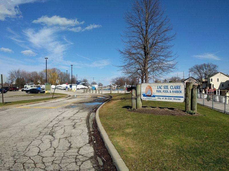
Photographed by Joel Seewald, April 1, 2017
3. Lake St. Clair (Lac Sainte Claire) Marker
Credits. This page was last revised on July 22, 2025. It was originally submitted on April 3, 2017, by Joel Seewald of Madison Heights, Michigan. This page has been viewed 1,905 times since then and 218 times this year. Photos: 1, 2, 3. submitted on April 3, 2017, by Joel Seewald of Madison Heights, Michigan.
