Parrish in Manatee County, Florida — The American South (South Atlantic)
Parrish
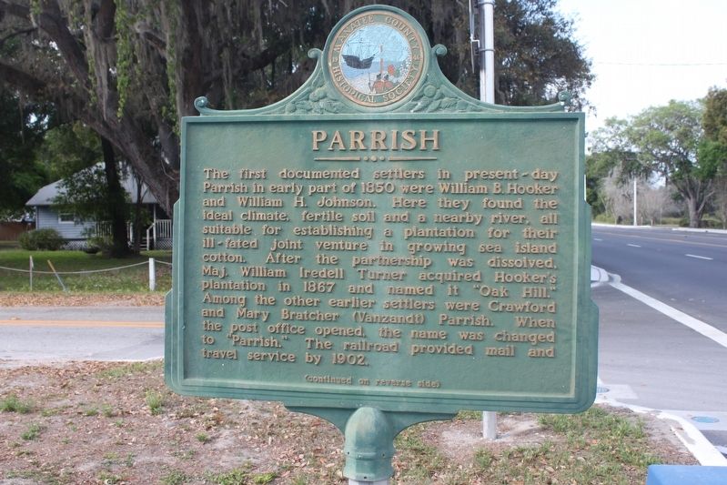
The first documented settlers in present-day Parrish in early part of 1850 were William B. Hooker and William H. Johnson. Here they found the ideal climate, fertile soil and a nearby river, all suitable for establishing a plantation for their ill-fated joint venture in growing sea island cotton. After the partnership was dissolved Maj. William Iredell Turner acquired Hooker's plantation in 1867 and named it "Oak Hill." Among the other earlier settlers were Crawford and Mary Bratcher (Vanzandt) Parrish. When the post office opened, the name was changed to "Parrish." The railroad provided mail and travel service by 1902.
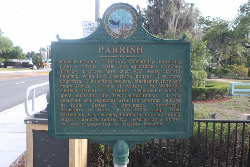
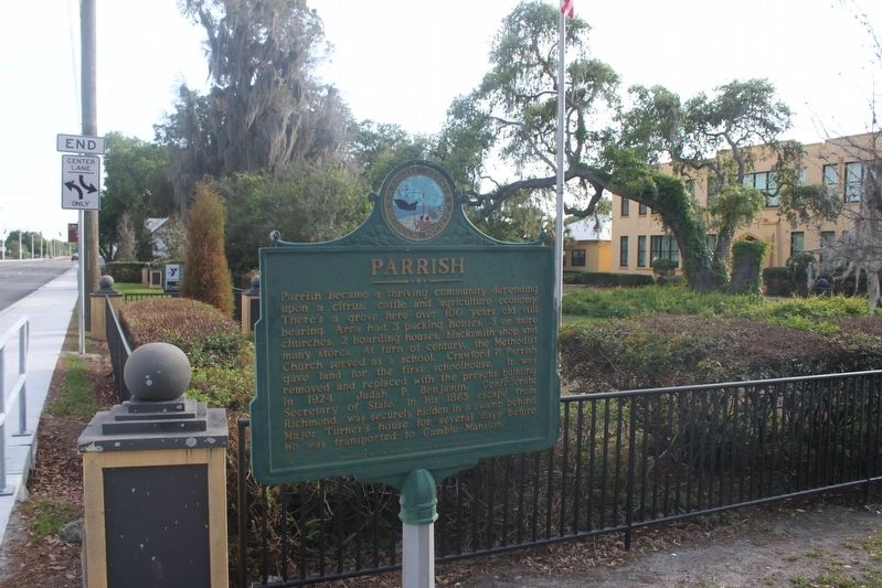
Parrish became a thriving community depending upon a citrus, cattle and agriculture economy. There's a grove here over 100 years old still bearing. Area had 3 packing houses, 3 or more churches, 2 boarding houses, blacksmith shop and many stores. At turn of century, the Methodist Church served as a school. Crawford P. Parrish gave land for the first schoolhouse. It was removed and replaced with the present building on 1924. Judah P. Benjamin, Confederate Secretary of State, in his 1865 escape from Richmond, was securely hidden in a swamp behind Major Turner's house for several days before he was transported to Gamble Mansion.
Erected 1988 by Manatee County Historical Society.
Topics. This historical marker is listed in these topic lists: Agriculture • Settlements & Settlers. A significant historical year for this entry is 1850.
Location. Marker has been reported missing. It was located near 27° 34.661′ N, 82° 25.535′ W. Marker was in Parrish, Florida, in Manatee County. Marker was at the intersection of U.S. 301 and 71st Street East, on the right when traveling south on U.S. 301. Marker is in front of the Parrish Community Center. Touch for map. Marker was at or near this postal address: 12214 US 301 North, Parrish FL 34219, United States of America. Touch for directions.
Other nearby markers. At least 8 other markers are within 8 miles of this location, measured as the crow flies. Parrish's Founding Family (approx. 1.2 miles away); Major William Iredell Turner (approx. 1.3 miles away); Charles Partin (approx. 1.3 miles away); Historic Parrish (approx. 1.4 miles away); Fort Hamer (approx. 3.7 miles away); The Town of Rye (approx. 6.3 miles away); Gamble Sugar Cane Mill (approx. 7.1 miles away); Veterans Memorial (approx. 7.1 miles away). Touch for a list and map of all markers in Parrish.
Credits. This page was last revised on February 27, 2023. It was originally submitted on April 3, 2017, by Tim Fillmon of Webster, Florida. This page has been viewed 542 times since then and 29 times this year. Last updated on February 26, 2023, by Dave W of Co, Colorado. Photos: 1, 2, 3. submitted on April 3, 2017, by Tim Fillmon of Webster, Florida. • Bernard Fisher was the editor who published this page.


