
Tremont in Hancock County, Maine — The American Northeast (New England)
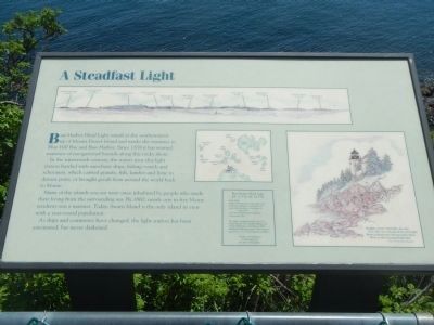
A Steadfast Light
Photographed by Barry Swackhamer, June 8, 2014
1. A Steadfast Light Marker
44º 13.3’N, 68º 20.3’W
Built: 1858
Height: 56 feet above mean high water
Light: red occulting - 4 seconds on, 1 second off
Lens: 4th Order Fresnel Classical
Automated: 1974
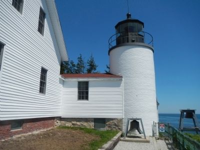
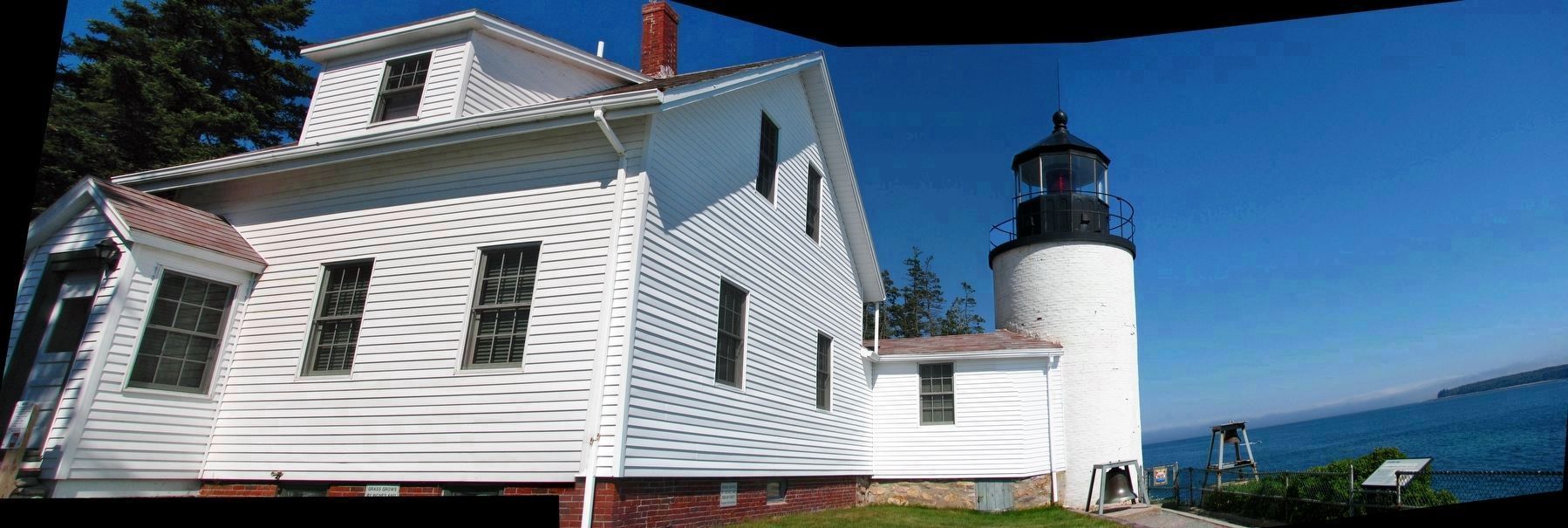
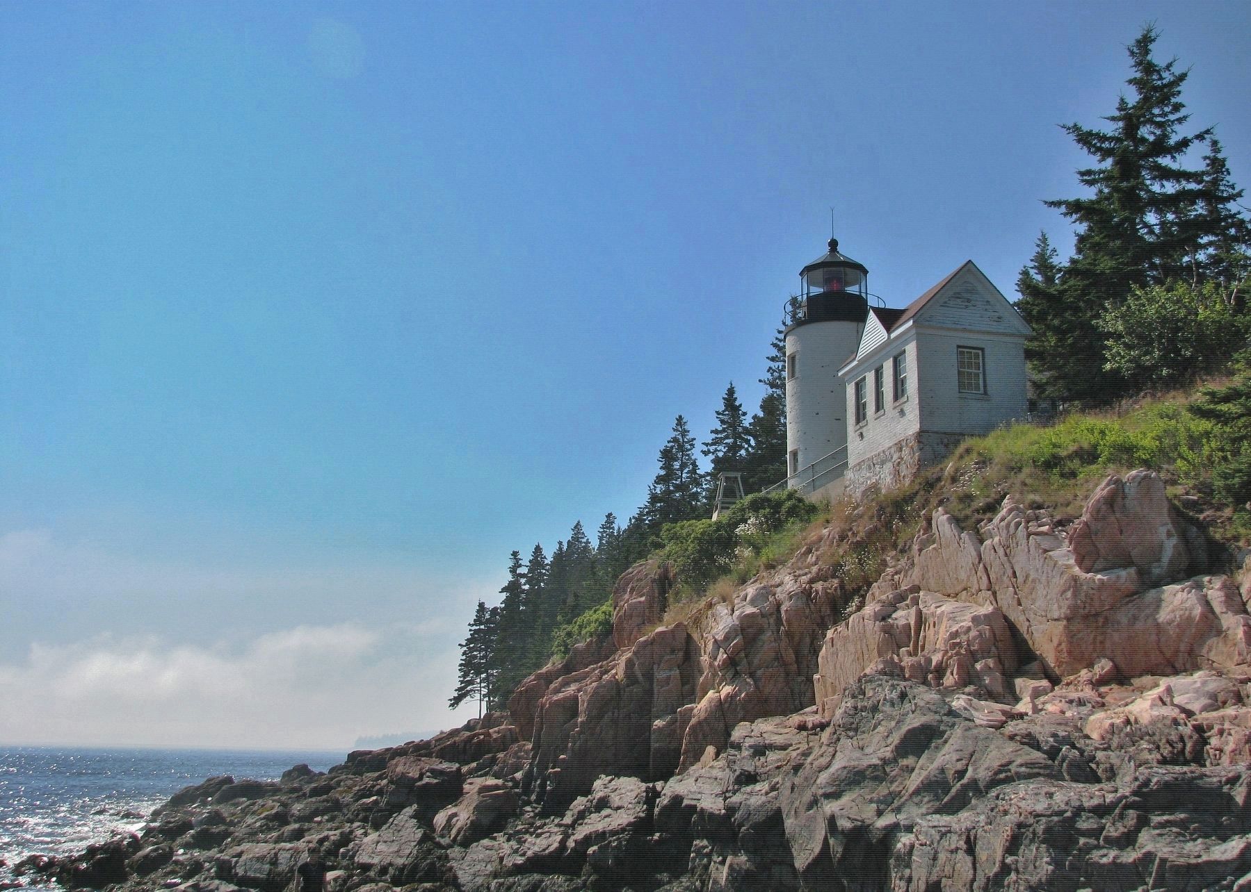
The light is maintained by the U.S. Coast Guard. The small building east of the lighthouse was built in 1897, and housed the fog signal. The keeper’s quarters is a U.S. Coastguard residence.
In the nineteenth century, the waters near this light station bustled with merchant ships, fishing vessels, and schooners, which carried granite, fish, lumber, and lyme to distant ports, or brought goods from around the world back to Maine.
Many of the islands you see were once inhabited by people who made their living from the surrounding sea. By 1860, nearly one in five Maine residents was a mariner. Today, Swan Island is the only island in view with a year-round population.
As ships and commerce have changed, the light station has been automated, but never darkened.
Topics and series. This historical marker is listed in these topic lists: Landmarks • Waterways & Vessels. In addition, it is included in the Lighthouses series list. A significant historical year for this entry is 1858.
Location. 44° 13.32′ N, 68° 20.231′ W. Marker is in Tremont, Maine, in Hancock County. It is on Lighthouse Road. Touch for map.
this page online

Regionally, this marker is on Mount Desert Island and in Downeast Maine. It is also in the American Northeast, in New England, and on the Eastern Seaboard. Globally, it is in the North Atlantic Region, North America, the Great North Woods, the Western Hemisphere, the Western World, and the Anglosphere. Historically, it finds itself in what was once the Viceroyalty of New France and also Acadia.
Other nearby markers. At least 8 other markers are within 7 miles of this marker, measured as the crow flies: Bass Harbor Head Light (a few steps from this marker); Bass Harbor Head Light Station (a few steps from this marker); Mariners Beware! (a few steps from this marker); a different marker also named Bass Harbor Head Light (within shouting distance of this marker); Natural Seawall (approx. 2.1 miles away); Joseph T. Musetti Jr. Veterans Memorial Park (approx. 5.6 miles away); Carroll Homestead (approx. 5.7 miles away); Roads to Discoveries (approx. 6.8 miles away).
Another marker is no longer
Photographed by Barry Swackhamer, June 8, 2014
2. Bass Harbor Head Lighthouse
Also see . . . Bass Harbor Head Light - Wikipedia. The history of Bass Harbor Head Light dates to 1855, when it was determined that there was sufficient reason for a lighthouse at the mouth of Bass Harbor. In 1858, the U.S. Congress appropriated $5,000 for construction of the lighthouse. In 1876, construction was completed on a fog bell and tower, since removed. (Submitted on September 16, 2014, by Barry Swackhamer of Brentwood, California.)
Additional keywords. lighthouse
Photographed by Cosmos Mariner, July 16, 2008
3. Bass Harbor Head Light Station (panoramic view; marker on right)
Photographed by Barry Swackhamer, June 8, 2014
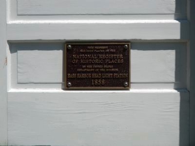
4. National Register of Historic Places plaque
has been place of the
National Register
of Historic Places
by the United States
Department of the Interior
Bass Harbor Head Light Station
1858
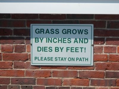
Photographed by Barry Swackhamer, June 8, 2014
5. Humorous Sign
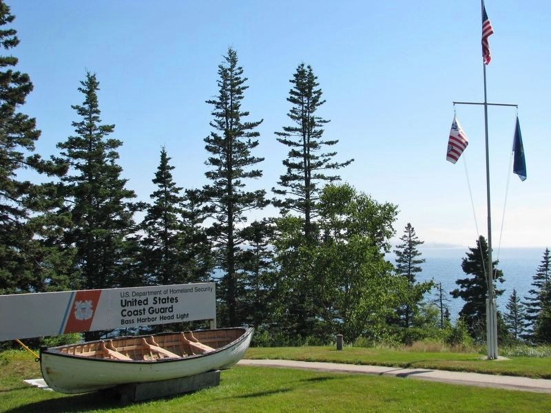
Photographed by Cosmos Mariner, July 16, 2008
6. Bass Harbor Head Light Station Entrance
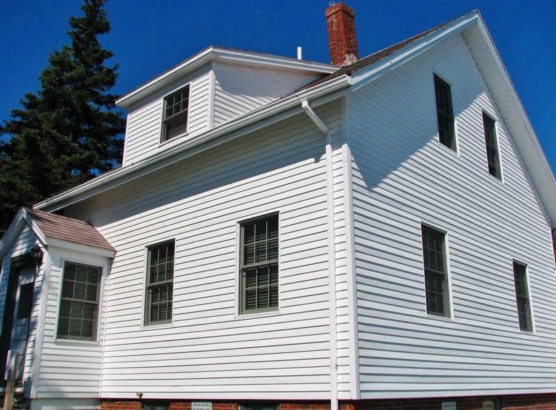
Photographed by Cosmos Mariner, July 16, 2008
7. Bass Harbor Head Light Station House
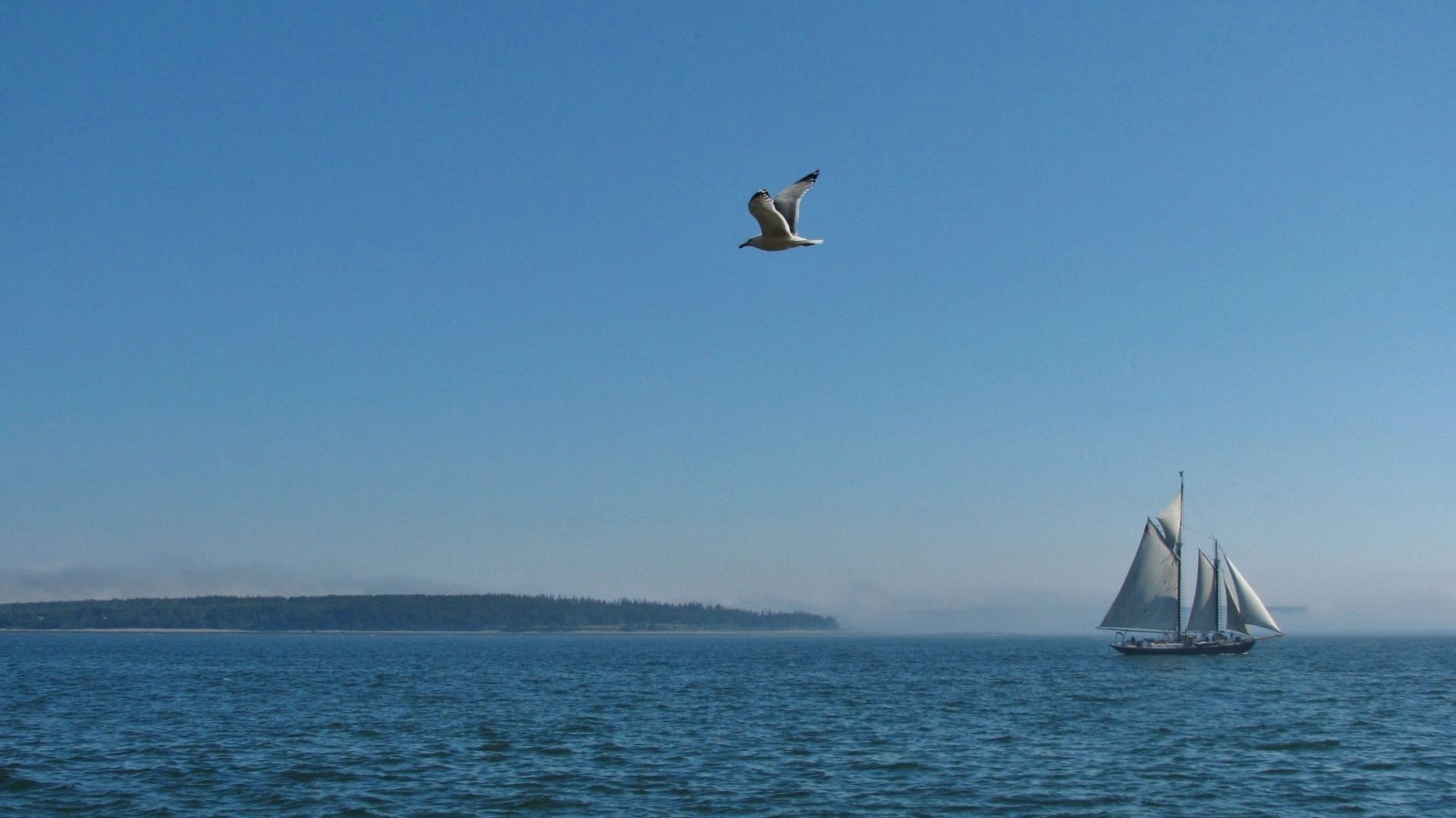
Photographed by Cosmos Mariner, July 16, 2008
8. Gull & Schooner (view from light station)
Photographed by Cosmos Mariner, July 16, 2008
9. Bass Harbor Head Light Station (view from shore below)
Credits. This page was last revised on December 16, 2022. It was originally submitted on September 16, 2014, by Barry Swackhamer of Brentwood, California. This page has been viewed 631 times since then and 17 times this year. Last updated on April 5, 2017, by Cosmos Mariner of Cape Canaveral, Florida. Photos: 1, 2. submitted on September 16, 2014, by Barry Swackhamer of Brentwood, California. 3. submitted on April 5, 2017, by Cosmos Mariner of Cape Canaveral, Florida. 4, 5. submitted on September 16, 2014, by Barry Swackhamer of Brentwood, California. 6. submitted on April 5, 2017, by Cosmos Mariner of Cape Canaveral, Florida. 7, 8, 9. submitted on May 5, 2017, by Cosmos Mariner of Cape Canaveral, Florida.
