Near Northeast Harbor in Hancock County, Maine — The American Northeast (New England)
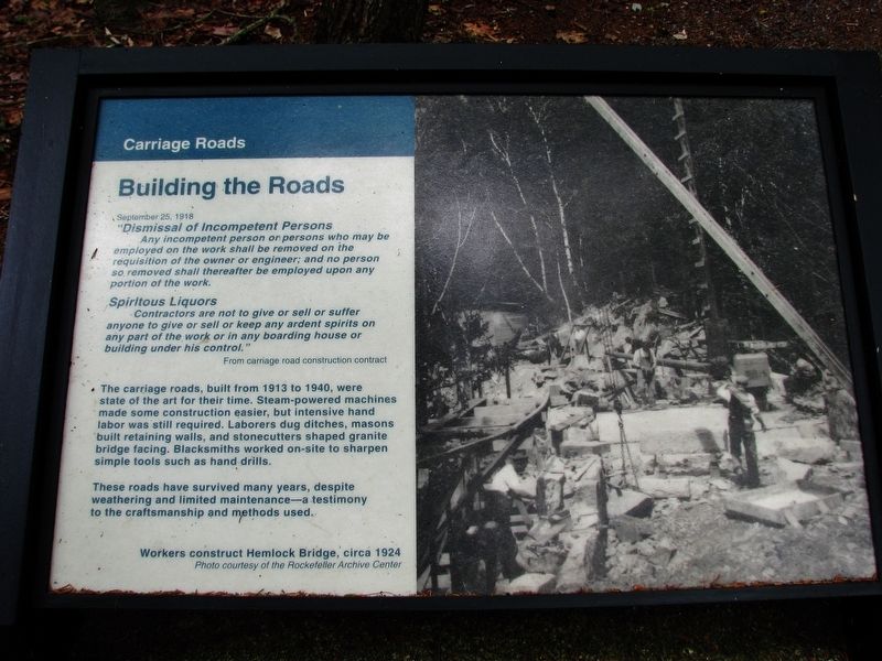
Carriage Roads - Building the Roads
Photographed by Cosmos Mariner, July 14, 2008
1. Carriage Roads - Building the Roads Marker
September 25, 1918
“Dismissal of Incompetent Persons
Any incompetent person or persons who may be employed on the work shall be removed on the requisition of the owner or engineer; and no person so removed shall thereafter be employed upon any portion of the work.
Spiritous Liquors
Contractors are not to give or sell or suffer anyone to give or sell or keep any ardent spirits on any part of the work or in any boarding house or building under his control”
From carriage road construction contract
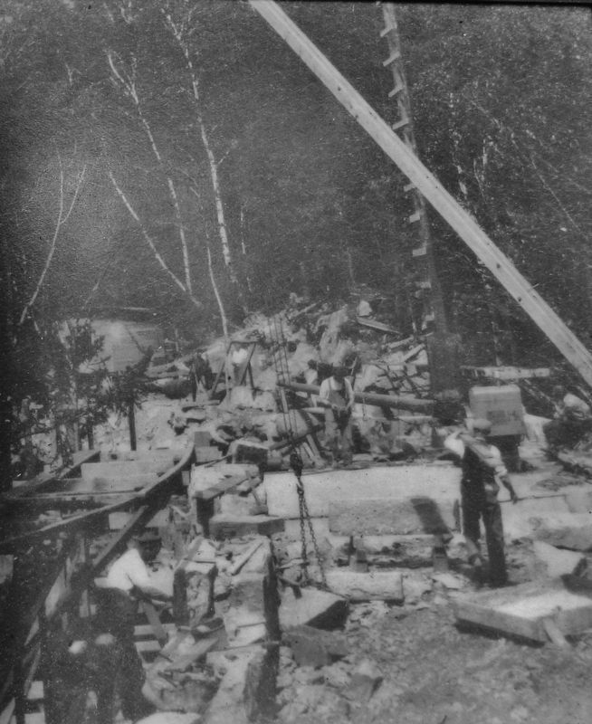
The carriage roads, built from 1913 to 1940, were state of the art for their time. Steam-powered machines made some construction easier, but intensive hand labor was still required. Laborers dug ditches, masons built retaining walls, and stonecutters shaped granite bridge facing. Blacksmiths worked on-site to sharpen simple tools such as hand drills.
These roads have survived many years, despite weathering and limited maintenance – a testimony to the craftsmanship and methods used.
Topics. This historical marker is listed in this topic list: Roads & Vehicles.
Location. Marker has been reported
this page online

Regionally, this marker was on Mount Desert Island and in Downeast Maine. It was also in the American Northeast, in New England, and on the Eastern Seaboard. Globally, it was in the North Atlantic Region, North America, the Great North Woods, the Western Hemisphere, the Western World, and the Anglosphere. Historically, it found itself in what was once the Viceroyalty of New France and also Acadia.
Other nearby markers. At least 8 other markers are within 2 miles of this location, measured as the crow flies: Roads to Discoveries (within shouting distance of this marker); Seawater Bay (approx. 1.1 miles away); Somes Sound (approx. 1.1 miles away); Joseph T. Musetti Jr. Veterans Memorial Park (approx. 1.3
Photographed by Cosmos Mariner, July 14, 2008
2. Marker inset: Workers construct Hemlock Bridge, circa 1924
Photo courtesy of the Rockefeller Archive Center
Also see . . . Acadia's Historic Carriage Roads.
Forty-five miles of rustic carriage roads, the gift of philanthropist John D. Rockefeller Jr. and family, weave around the mountains and valleys of Acadia National Park. Rockefeller, a skilled horseman, wanted to travel on motor-free byways via horse and carriage into the heart of Mount Desert Island. His construction efforts from 1913 to 1940 resulted in roads with sweeping vistas and close-up views of the landscape. His love of road building ensured a state-of-the-art system. (Submitted on April 5, 2017, by Cosmos Mariner of Cape Canaveral, Florida.)
Photographed by Cosmos Mariner, July 14, 2008
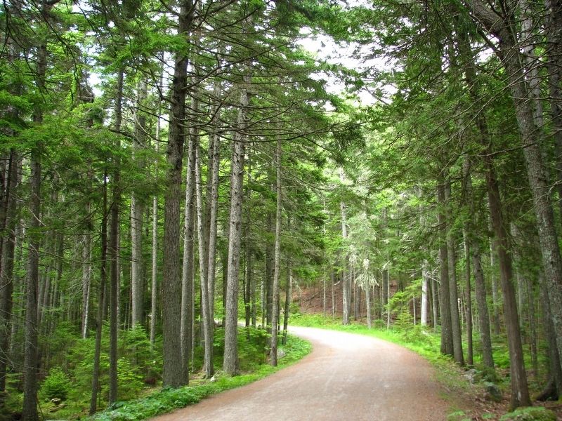
3. Carriage Road (near the marker)
Photographed by Cosmos Mariner, July 14, 2008
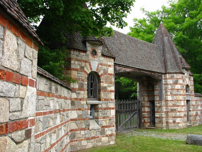
4. Brown Mountain Gate (near the marker)
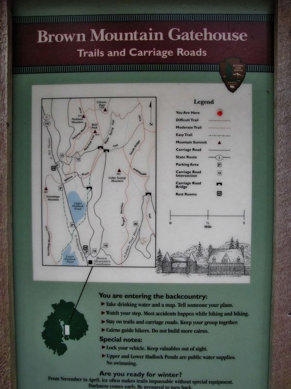
Photographed by Cosmos Mariner, July 14, 2008
5. Brown Mountain Gatehouse - Trails and Carriage Roads
Map and legend near the Carriage Roads marker
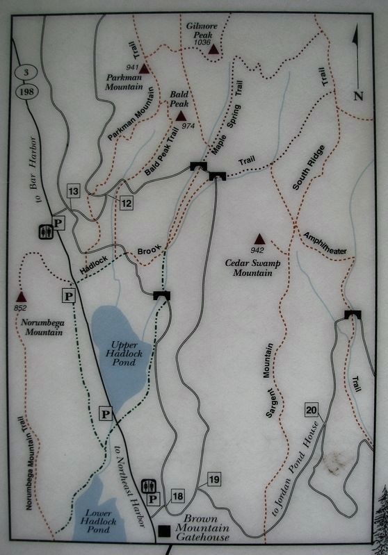
Photographed by Cosmos Mariner, July 14, 2008
6. Trails and Carriage Roads Map Detail
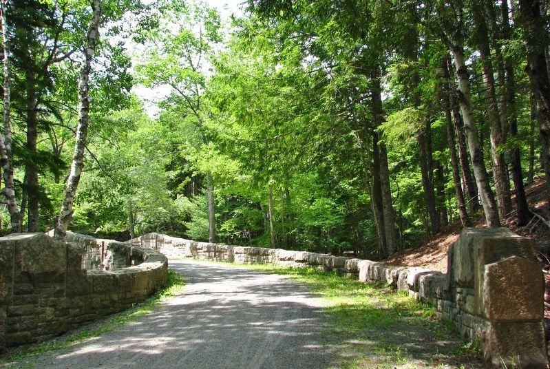
Photographed by Cosmos Mariner, July 17, 2008
7. Day Mountain Carriage Road
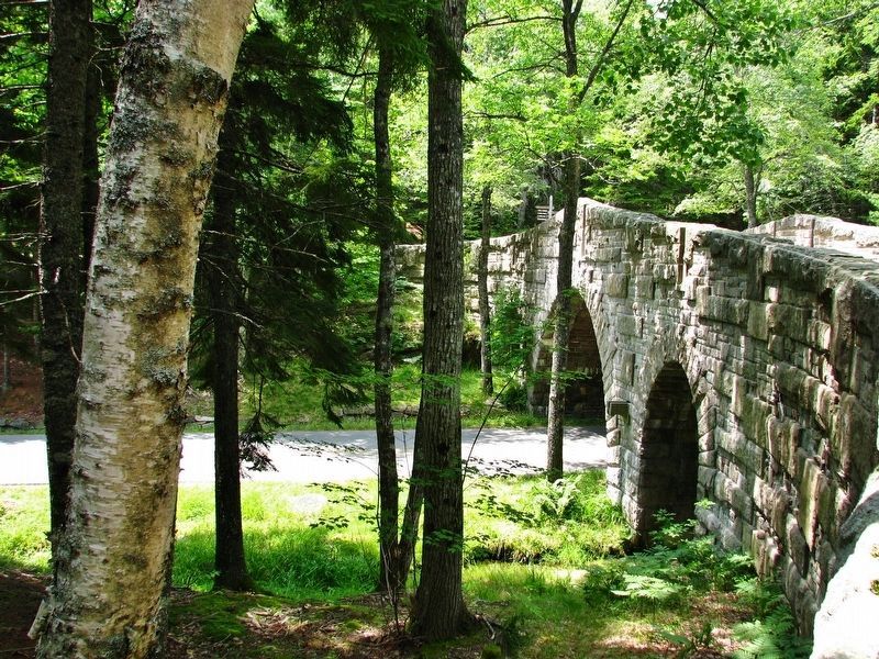
Photographed by Cosmos Mariner, July 17, 2008
8. Day Mountain Carriage Road Bridge
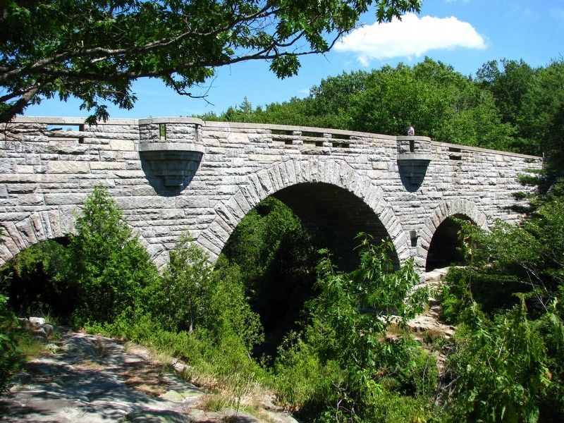
Photographed by Cosmos Mariner, July 15, 2008
9. Duck Brook Carriage Road Bridge
Credits. This page was last revised on October 11, 2024. It was originally submitted on April 5, 2017, by Cosmos Mariner of Cape Canaveral, Florida. This page has been viewed 481 times since then and 17 times this year. Photos: 1, 2, 3, 4, 5, 6. submitted on April 5, 2017, by Cosmos Mariner of Cape Canaveral, Florida. 7, 8, 9. submitted on May 5, 2017, by Cosmos Mariner of Cape Canaveral, Florida. • Bill Pfingsten was the editor who published this page.
