
Georgetown in Georgetown County, South Carolina — The American South (South Atlantic)
Hobcaw Barony
A Woman's Gift
Photographed by Brian Scott, February 1, 2017
1. Hobcaw Barony Marker
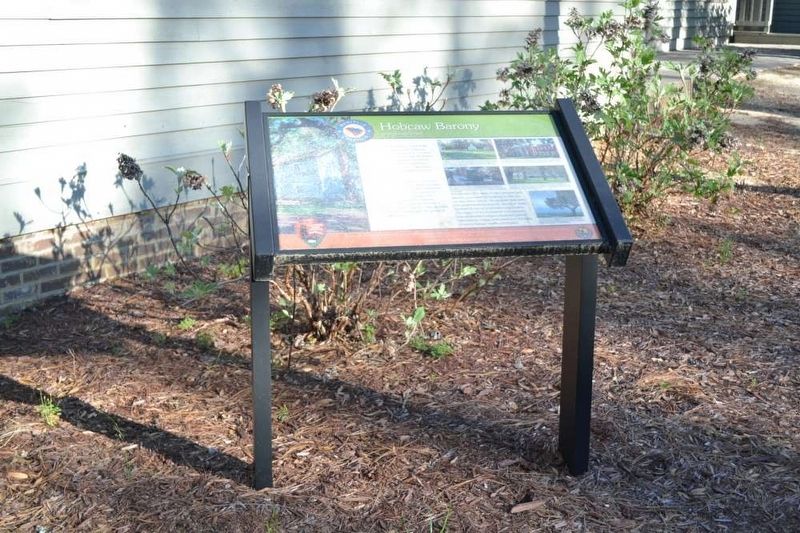
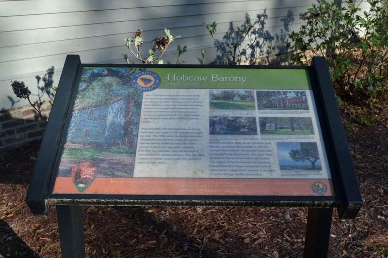
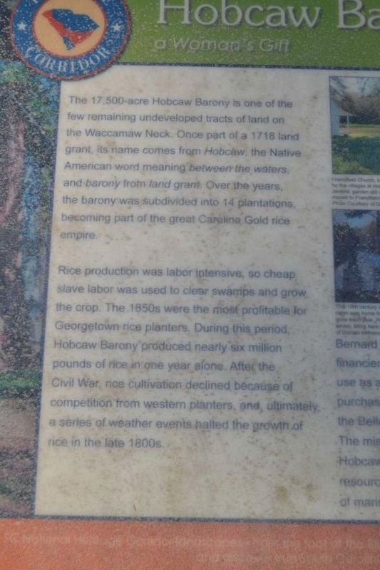
The 17,500-acre Hobcaw Barony is one of the few remaining undeveloped tracts of land on the Waccamaw Neck. Once part of a 1716 land grant, its name comes from Hobcaw, the Native American word meaning between the waters, and barony from land grant. Over the years, the barony was subdivided into 14 plantations, becoming part of the great Carolina Golf rice empire.
Rice production was labor intensive, so cheap slave labor was used to clear swamps and grow the crop. The 1650's were the most profitable for Georgetown rice planters. During this period, Hobcaw Barony produced nearly six million pounds of rice in one year alone. After the Civil War, rice cultivation declined because of competition from western planters, and, ultimately, a series of weather events halted the growth in the late 1800's.
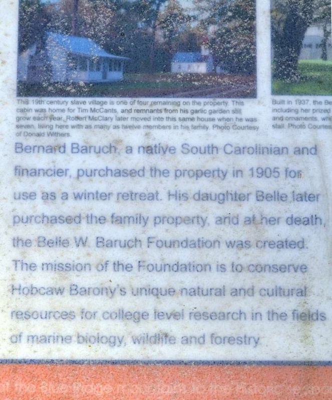
Bernard Baruch, a native South Carolinian and financier, purchased the property in 1905 to use as a winter retreat. His daughter Belle later purchased the family property, and at her death, the Belle W. Baruch Foundation was created. The mission of the Foundation is to conserve Hobcaw Barony's unique natural and cultural resources
this page online
Erected by South Carolina Heritage Corridor.
Topics and series. This historical marker is listed in these topic lists: Notable Buildings • Women. In addition, it is included in the South Carolina Heritage Corridor series list. A significant historical year for this entry is 1716.
Location. 33° 21.817′ N, 79° 13.633′ W. Marker is in Georgetown, South Carolina, in Georgetown County. It is on Hobcaw Road. Touch for map. Marker is at or near this postal address: 22 Hobcaw Road, Georgetown SC 29440, United States of America. Touch for directions.

Regionally, this marker is in South Carolina’s Pee Dee and on Waccamaw Neck. It is also in the American South, specifically in the Deep South, and on the Eastern Seaboard. Globally, it is in the North Atlantic Region, North America, the Western Hemisphere, the Western World, and the Anglosphere. Historically, it finds itself in what was once the territory of the Mississippian Culture, one of the original Thirteen Colonies, one of the Confederate States of America, and the Antebellum South.
Photographed by Brian Scott, February 1, 2017
2. Hobcaw Barony Marker
Other nearby markers. At least 8 other markers are within 3 miles of this marker, measured as the crow flies: Belle W. Baruch (within shouting distance of this marker); a different marker also named Hobcaw Barony (within shouting distance of this marker); Clifton Plantation (approx. half a mile away); Lafayette (approx. half a mile away); Prospect Hill (approx. half a mile away); DeBordieu Beach (approx. 1.4 miles away); William Screven (approx. 2.9 miles away); Antipedo Baptist Church / Old Baptist Cemetery (approx. 3 miles away). Touch for a list and map of all markers in Georgetown.
Another marker is no longer nearby. Attacks Upon Georgetown (was approx. 1.9 miles away but has been confirmed missing).
Photographed by Brian Scott, February 1, 2017
3. Hobcaw Barony Marker
Photographed by Brian Scott, February 1, 2017
4. Hobcaw Barony Marker
Photographed by Brian Scott, February 1, 2017
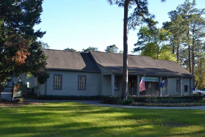
5. Hobcaw Barony Visitors Center
Photographed by Brian Scott, February 1, 2017
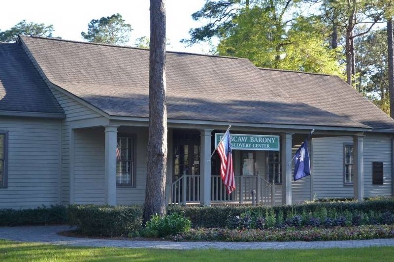
6. Hobcaw Barony Visitors Center
Credits. This page was last revised on April 21, 2017. It was originally submitted on April 8, 2017, by Brian Scott of Anderson, South Carolina. This page has been viewed 970 times since then and 32 times this year. Last updated on April 13, 2017, by Byron Hooks of Sandy Springs, Georgia. Photos: 1, 2, 3, 4, 5, 6. submitted on April 8, 2017, by Brian Scott of Anderson, South Carolina. • Bill Pfingsten was the editor who published this page.
