Okolona in Chickasaw County, Mississippi — The American South (East South Central)
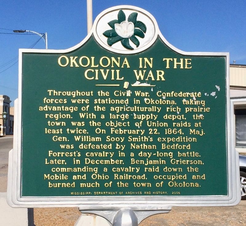
Okolona in the Civil War
Erected 2006 by the Mississippi Department of Archives and History.
Topics and series. This historical marker is listed in these topic lists: Agriculture • Railroads & Streetcars • War, US Civil. In addition, it is included in the Mississippi State Historical Marker Program series list. A significant historical date for this entry is February 22, 1864.
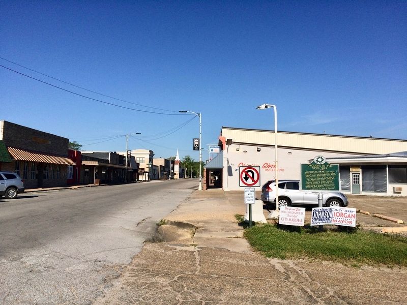
Location. 34° 0.259′ N, 88° 44.832′ W. Marker is in Okolona, Mississippi, in Chickasaw County. Marker is at the intersection of West Main Street and North Gatlin Street, on the right when traveling west on West Main Street. Touch for map. Marker is at or near this postal address: West Main Street, Okolona MS 38860, United States of America. Touch for directions.
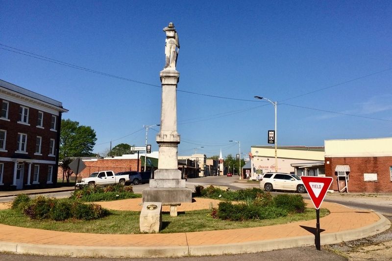
Other nearby markers. At least 8 other markers are within 6 miles of this marker, measured as the crow flies. Our Confederate Dead Soldiers' Monument (within shouting distance of this marker); Okolona (approx. 0.6 miles away); Confederate Cemetery (approx. 0.6 miles away); Chickasaw County Confederate Tribute (approx. 0.6 miles away); a different marker also named Okolona (approx. 0.6 miles away); Battle of Okolona (approx. one mile away); Okolona College (approx. one mile away); a different marker also named Battle of Okolona (approx. 5.9 miles away). Touch for a list and map of all markers in Okolona.
Also see . . . Wikipedia article on the Battle of Okolona. (Submitted on April 13, 2017, by Mark Hilton of Montgomery, Alabama.)
Credits. This page was last revised on April 13, 2017. It was originally submitted on April 13, 2017, by Mark Hilton of Montgomery, Alabama. This page has been viewed 445 times since then and 47 times this year. Photos: 1, 2, 3, 4. submitted on April 13, 2017, by Mark Hilton of Montgomery, Alabama.


