Tupelo in Lee County, Mississippi — The American South (East South Central)
Tupelo Campaign: Pontotoc Road, July 13
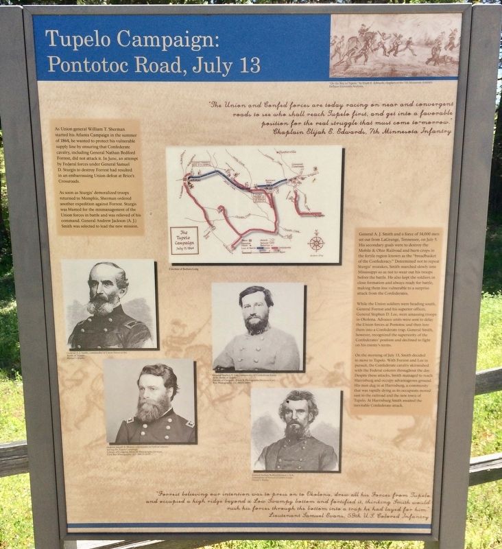
As soon as Sturgis' demoralized troops returned to Memphis, Sherman ordered another expedition against Forrest. Sturgis was blamed for the mismanagement of the Union forces in battle and was relieved of his command. General Andrew Jackson (A. J) Smith was selected to lead the new mission.
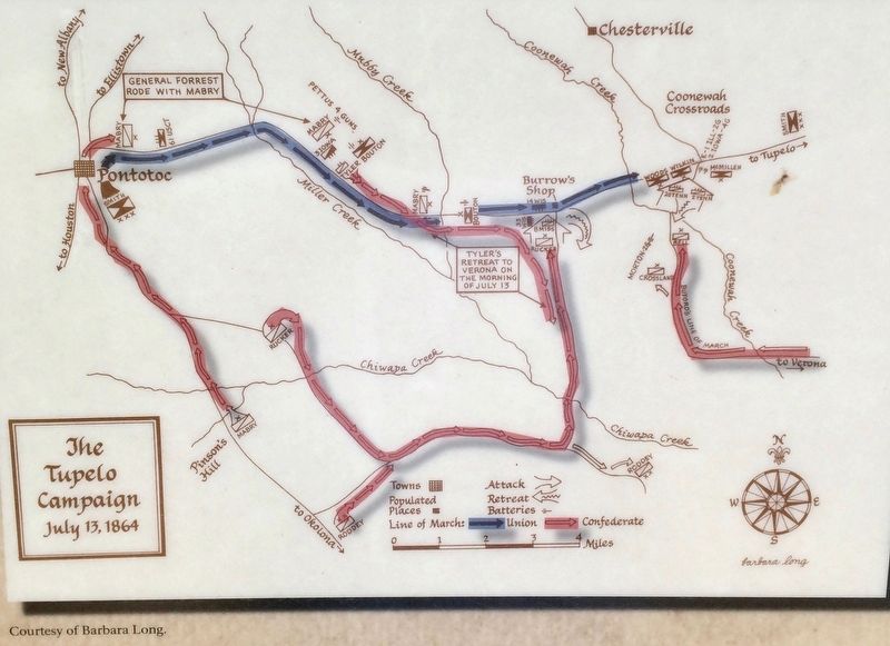
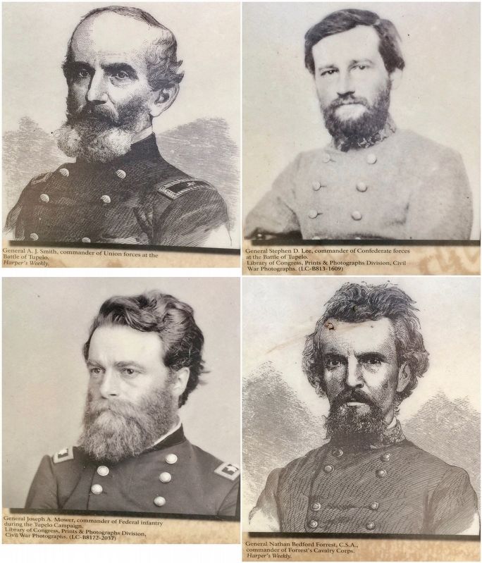
General A. J. Smith and a force of 14,000 men set out from LaGrange, Tennessee, on July 5. His secondary goals were to destroy the Mobile & Ohio Railroad and burn crops in the fertile region known as the "breadbasket of the Confederacy." Determined not to repeat Sturgis' mistakes, Smith marched slowly into Mississippi so as not to wear out his troops before the battle. He also kept the soldiers in close formation and always ready for battle making them less vulnerable to a surprise attack from the Confederates.
While the Union soldiers were heading south General Forrest and his superior officer General Stephen D. Lee, were amassing troops in Okolona. Advance units were sent to delay the Union forces at Pontotoc and then lure them into a Confederate trap. General Smith however, recognized the superiority of the Confederates' position and declined to fight on his enemy's terms.
On the morning of July 13, Smith decided to move to Tupelo. With Forrest and Lee in pursuit, the Confederate cavalry skirmished with the Federal column throughout the day. Despite these attacks, Smith managed to reach Harrisburg and occupy advantageous ground. His men dug in at Harrisburg, a community that was rapidly dying as its occupants moved east to the railroad and the new town of Tupelo. At Harrisburg Smith awaited the inevitable Confederate attack.
"Forrest believing, our intention was to press on to Okolona drew all his Forces from Tupelo
and occupied a high ridge beyond a Low swampy bottom and fortified it, thinking Smith would
rush his forces through the bottom into a trap he had layed for him."
Lieutenant Samuel Evans, 59th U.S. Colored Infantry.
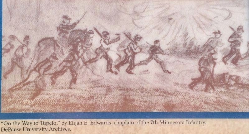
"The Union and Confed forces are today racing on near and convergent
roads to see who shall reach Tupelo first, and get into a favorable
position for the real struggle that must come to "morrow."
Chaplain Elijah E. Edwards, 7th Minnesota Infantry
Erected by the Civil War Trust.
Topics. This historical marker is listed in this topic list: War, US Civil. A significant historical date for this entry is July 5, 1864.
Location. 34° 18.421′ N, 88° 44.255′ W. Marker is in Tupelo, Mississippi, in Lee County. Marker is at the intersection of Mt. Vernon Road and Creely Road, on the right when traveling north on Mt. Vernon Road. Touch for map. Marker is at or near this postal address: 3454 Mt Vernon Road, Tupelo MS 38804, United States of America. Touch for directions.
Other nearby markers. At least 8 other markers are within 4 miles of this marker, measured as the crow flies. Tupelo Campaign: Harrisburg July 14 (a few steps from this marker); Tupelo Campaign: Old Town Creek, July 15 (within shouting distance of this marker); Natchez Trace at Lee County (approx. 0.8 miles away); Old Town Creek (approx. 0.8 miles away); Chickasaw Village Site (approx. 2 miles away); Carver School / Desegregation of Schools Across the South (approx. 3 miles away); The Green Street Business District / Social Hub (approx. 3.1 miles away); Mayhorn Grocery (approx. 3.2 miles away). Touch for a list and map of all markers in Tupelo.
Regarding Tupelo Campaign: Pontotoc Road, July 13. A Union force, under General A. J. Smith, with some 14,000 men set off into Mississippi on July 5th, 1864. General Forrest was in the area with 6,000 men, having been reinforced since Brice’s Crossroads.
However, he was not the senior Confederate officer in the area. That honor fell to General Stephen D. Lee, who brought 2,000 extra troops, bringing the Confederate strength up to 8,000 men.
On July 13th, Smith was at Pontotoc, Mississippi, 19 miles west of Tupelo. That day he stopped his move south, and turned east, with the intention of cutting the railroad at Tupelo. Forrest was soon in pursuit, catching the Union force six miles short of Tupelo. After repelling Confederate attacks on his rearguard, Smith camped at Harrisburg, one mile from Tupelo.
Credits. This page was last revised on April 14, 2017. It was originally submitted on April 14, 2017, by Mark Hilton of Montgomery, Alabama. This page has been viewed 471 times since then and 34 times this year. Photos: 1, 2, 3, 4, 5. submitted on April 14, 2017, by Mark Hilton of Montgomery, Alabama.


