Tupelo in Lee County, Mississippi — The American South (East South Central)
The Green Street Business District / Social Hub
— Heritage Trails Enrichment Program —
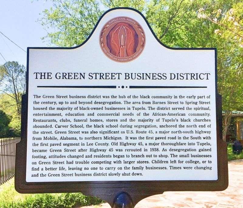
The Green Street business district was the hub of the black community in the early part of the century, up to and beyond desegregation. The area from Barnes Street to Spring Street housed the majority of black-owned businesses in Tupelo. The district served the spiritual entertainment, education and commercial needs of the African-American community. Restaurants, clubs, funeral homes, stores and the majority of Tupelo's black churches abounded. Carver School, the black school during segregation, anchored the north end of the street. Green Street was also significant as U.S. Route 45, a major north-south highway from Mobile, Alabama, to northern Michigan. It was the first paved road in the South with the first paved segment in Lee County. Old Highway 45, a major thoroughfare into Tupelo, became Green Street after Highway 45 was rerouted in 1938. As desegregation gained footing, attitudes changed and residents began to branch out to shop. The small businesses on Green Street had trouble competing with larger stores. Children left for college, or to find a better life, leaving no one to carry on the family businesses. Times were changing and the Green Street business district slowly shut down.
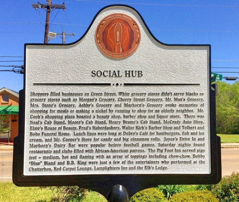
Shoppers filled businesses on Green Street. White grocery stores didn't serve blacks so grocery stores such as Morgan's Grocery, Cherry Street Grocery, Mr. Max's Grocery, Mrs. Stones Grocery, Ashby's Grocery and Mayhorn's Grocery evoke memories of shopping for meals or making a nickel running to shop for an elderly neighbor. Mr. Cook's shopping plaza boasted a beauty shop, barber shop and liquor store. There was Neal's Cab Stand, Moore's Cab Stand, Henry Brame's Cab Stand, McCrady Auto Shop, Elsie's House of Beauty, Fred's Haberdashery, Walter Kirk's Barber Shop and Tolbert and Bobo Funeral Home. Lunch lines were long at Debro's Café for hamburgers, fish and ice cream, and Mr. Cooper's store for candy and big cinnamon rolls. Joyce's Drive In and Mayhorn's Dairy Bar were popular before football games. Saturday nights found restaurants and clubs filled with African- American patrons. The Pig Foot Inn served pigs feet - medium, hot and flaming with an array of toppings including chow-chow. Bobby "Blue" Bland and B.B. King were just a few of the entertainers who performed at the Chatterbox, Red Carpet Lounge, Lamplighters Inn and the Elk's Lodge.
Erected 2016 by the Tupelo Convention & Visitors Bureau.
Topics. This historical marker is listed in these topic lists: African Americans • Arts, Letters, Music • Civil Rights • Industry & Commerce. A significant historical year for this entry is 1938.
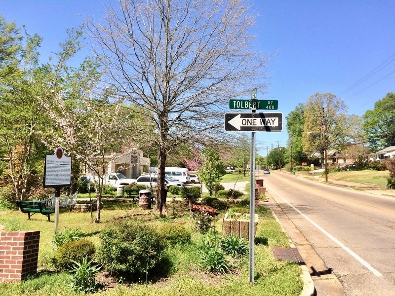
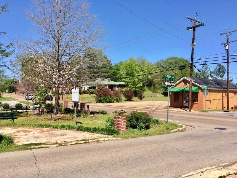
Location. 34° 16.141′ N, 88° 42.451′ W. Marker is in Tupelo, Mississippi, in Lee County. Marker is at the intersection of North Green Street and Tolbert Street, on the left when traveling north on North Green Street. Touch for map. Marker is at or near this postal address: North Green Street, Tupelo MS 38804, United States of America. Touch for directions.
Other nearby markers. At least 8 other markers are within walking distance of this marker. Mayhorn Grocery (within shouting distance of this marker); Spring Hill Missionary Baptist Church / A Strong Voice in the Civil Rights Struggle in Tupelo (about 300 feet away, measured in a direct line); Carver School / Desegregation of Schools Across the South (about 700 feet away); Robins Field / High School Football During Segregation (approx. 0.4 miles away); The Dixie Belle Theater / The March of Discontent (approx. half a mile away); First Presbyterian Church (USA) (approx. 0.7 miles away); Tupelo Baptist Church / Kind Treatment for the Wounded (approx. 0.7 miles away); The Younger Cabin / Confederate Headquarters (approx. 0.7 miles away). Touch for a list and map of all markers in Tupelo.
More about this marker. Part of the Tupelo Civil Rights and African American Heritage trail.
Credits. This page was last revised on April 16, 2017. It was originally submitted on April 16, 2017, by Mark Hilton of Montgomery, Alabama. This page has been viewed 454 times since then and 38 times this year. Photos: 1, 2, 3, 4. submitted on April 16, 2017, by Mark Hilton of Montgomery, Alabama.


