Near Spotsylvania Courthouse in Spotsylvania County, Virginia — The American South (Mid-Atlantic)
The McCoull House
The Battle of Spotsylvania Court House
— Fredericksburg and Spotsylvania National Military Park —
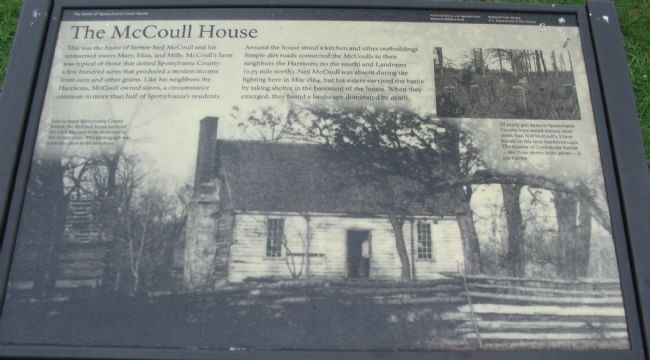
This was the home of farmer Neil McCoull and his unmarried sisters Mary, Eliza, and Milly. McCoull's farm was typical of those that dotted Spotsylvania County: a few hundred acres that produced a modest income from corn and other grains. Like his neighbors the Harrisons, McCoul owned slaves, a circumstance common to more than half of Spotsylvania's residents.
Around the house stood a kitchen and other outbuildings. Simple dirt roads connected the McCoulls to their neighbors the Harrisons (to the south) and Landrams (0.75 mile north). Neil McCoull was absent during the fighting here in May 1864, but his sisters survived the battle by taking shelter in the basement of the house. When they emerged, they found a landscape dominated by death.
Erected by National Park Service, U.S. Department of the Interior.
Topics. This historical marker is listed in this topic list: War, US Civil. A significant historical month for this entry is May 1864.
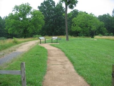
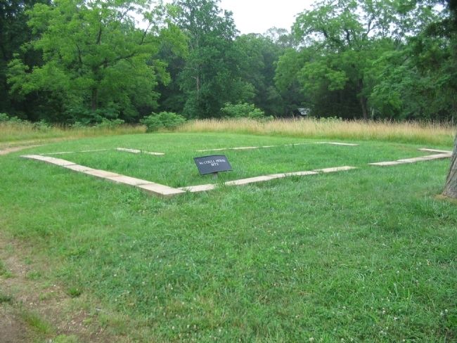
Location. 38° 13.211′ N, 77° 35.995′ W. Marker is near Spotsylvania Courthouse, Virginia, in Spotsylvania County. Marker is on McCoull Road, on the right when traveling north. Located at Stop five (McCoull House Site) on the driving tour of Spotsylvania Battlefield unit of the Fredericksburg and Spotsylvania National Military Park. Touch for map. Marker is in this post office area: Spotsylvania VA 22553, United States of America. Touch for directions.
Other nearby markers. At least 8 other markers are within walking distance of this marker. Mayhem in the Muleshoe (here, next to this marker); McCoull Spring (about 300 feet away, measured in a direct line); Ramseur's Brigade (about 600 feet away); Spotsylvania Campaign (approx. 0.2 miles away); Aftermath (approx. 0.2 miles away); Confederate Counterattack (approx. 0.2 miles away); Upton’s Assault (approx. 0.2 miles away); McGowan's Brigade (approx. 0.2 miles away). Touch for a list and map of all markers in Spotsylvania Courthouse.
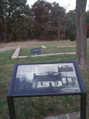
More about this marker. The background of the marker is a photo of the house. Like so many Spotsylvania County homes, the McCoull house survived the Civil War only to be destroyed by fire in later years. This photograph was probably taken in the late 1800s. An inset photo in the upper right shows some Confederate graves. Of nearly 900 farms in Spotsylvania County, none would witness more death than Neil McCoull's. Union burials on the farm numbered 1,492. The number of Confederate burials - like those shown in the photo - is not known.
Also see . . . McCoull House. National Park Service website entry (Submitted on August 15, 2008, by Craig Swain of Leesburg, Virginia.)
Credits. This page was last revised on December 9, 2022. It was originally submitted on August 15, 2008, by Craig Swain of Leesburg, Virginia. This page has been viewed 1,737 times since then and 49 times this year. Photos: 1, 2. submitted on August 15, 2008, by Craig Swain of Leesburg, Virginia. 3. submitted on January 11, 2009, by Bill Coughlin of Woodland Park, New Jersey. 4. submitted on August 15, 2008, by Craig Swain of Leesburg, Virginia.


