Near Spotsylvania Courthouse in Spotsylvania County, Virginia — The American South (Mid-Atlantic)
Upton's Charge
Photographed by Craig Swain, July 6, 2008
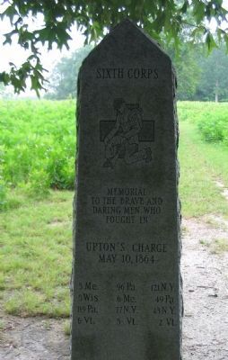
1. Front of Monument
Memorial
to the brave and
daring men who
fought in
Upton's Charge
May 10,1964
5 Me - 96 Pa. - 121 N.Y.
5 Wis - 6 Me - 49 Pa.
119 Pa. - 77 N.Y. - 43 N.Y.
6 Vt. - 5 Vt. - 2 Vt.
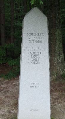
(Back):
Mule Shoe Defenders
1 Ramseur
2 Daniel
3 Doles
4 Walker
Erected
May 1994
Donated by
Paul J. Helmarch
Erected 1994.
Topics. This historical marker is listed in this topic list: War, US Civil. A significant historical month for this entry is May 1848.
Location. 38° 13.31′ N, 77° 36.266′ W. Marker is near Spotsylvania Courthouse, Virginia, in Spotsylvania County. It can be reached from Anderson Drive, on the right when traveling south. Located south of tour stop three (The Bloody Angle) on the driving tour of Spotsylvania Battlefield unit of the Fredericksburg and Spotsylvania National Military Park. Touch for map. Marker is in this post office area: Spotsylvania VA 22553, United States of America. Touch for directions.

Regionally, this marker is in the Washington Metropolitan Area, in Northern Virginia, and in the Piedmont. It is also in the American South, specifically in the Upper South, in the Mid-Atlantic, and on the Eastern Seaboard. Globally, it is in the North Atlantic Region, North America, the Western Hemisphere, the Western World, and the Anglosphere. Historically, it finds itself in what was once the territory of the Mississippian Culture, one of the original Thirteen Colonies, one of the Confederate States of America, and the Antebellum South.
Other nearby markers. At least 8 other markers are
this page online
Other markers no longer nearby. Doles Salient (was about 300 feet away but has been permanently removed); Spotsylvania Campaign (was about 700 feet away but has been permanently removed); a different marker also named Spotsylvania Campaign (was approx. 0.2 miles away but has been replaced with another marker now near it); a different marker also named Spotsylvania Campaign
Photographed by Bradley Owen, October 17, 2018
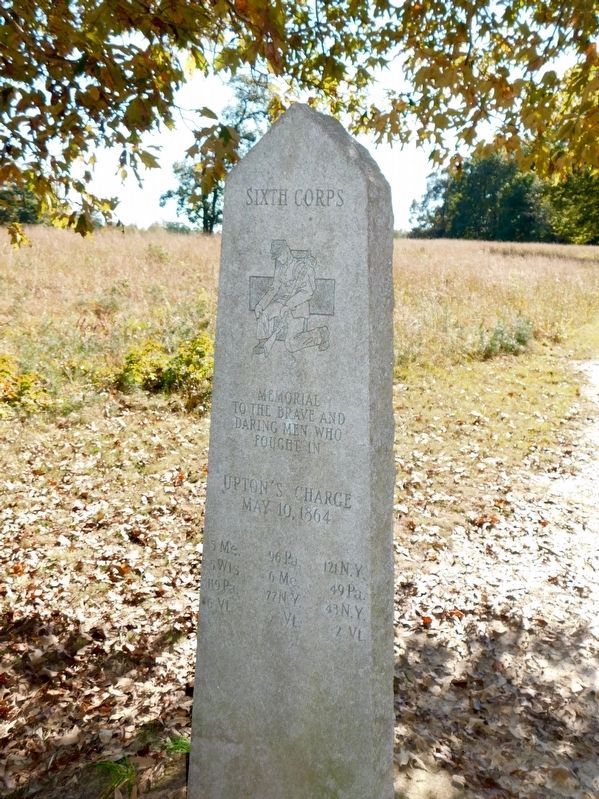
2. Upton's Charge Marker
Front of Monument.
Related markers. Click here for a list of markers that are related to this marker. Battle of Spotsylvania - Tour Stop Two Trails
Also see . . . The Union's Bloody Miscue at Spotsylvania's Muleshoe. Historynet website entry:
An article detailing the attack and consequences. (Submitted on August 15, 2008, by Craig Swain of Leesburg, Virginia.)
Photographed by Craig Swain, July 6, 2008
3. Back of Monument
The blocks in the center of the inscription are numbered, keyed to the listing of Confederate Brigades.
Photographed by Craig Swain, July 6, 2008
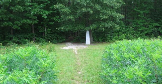
4. Upton's Charge Monument from the Confederate Side
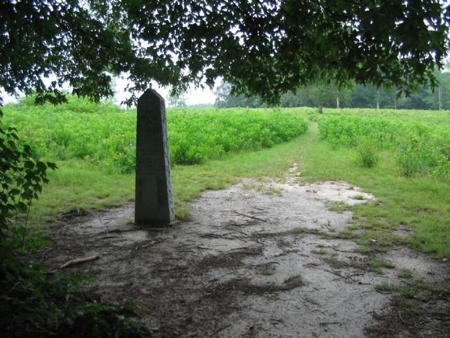
Photographed by Craig Swain, July 6, 2008
5. View from the Tree Line
The Federals under Upton advanced out of this treeline toward the Confederate defenses on the high ground in the distance.
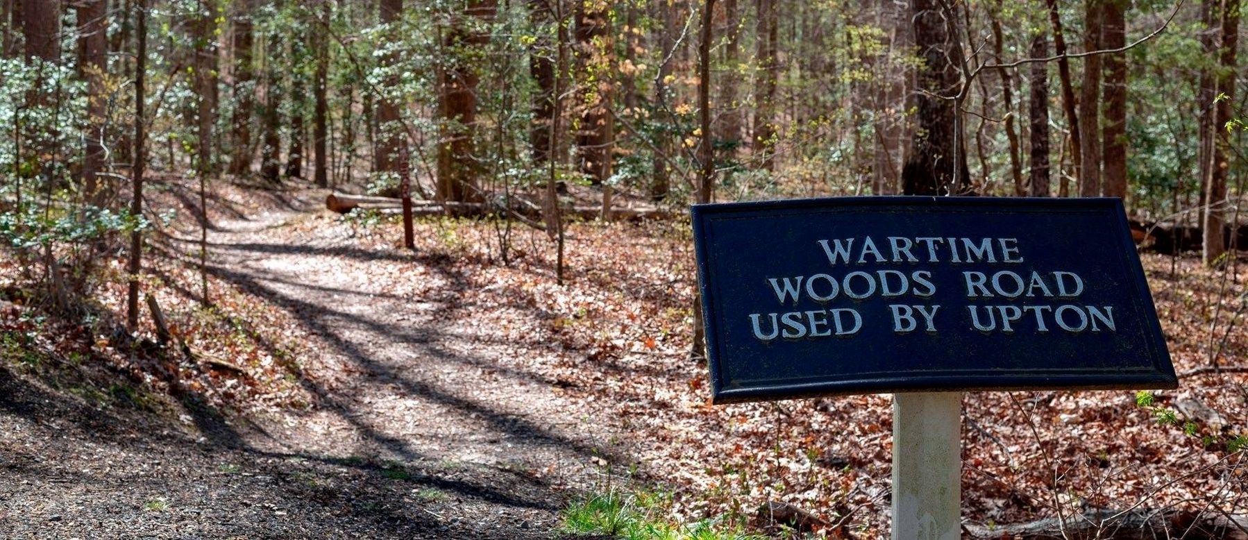
via National Park Service, unknown
6. Upton's Road
National Park Service Fredericksburg & Spotsylvania National Military Park website entry
Click for more information.
Click for more information.
Credits. This page was last revised on December 6, 2024. It was originally submitted on August 15, 2008, by Craig Swain of Leesburg, Virginia. This page has been viewed 1,561 times since then and 31 times this year. Photos: 1. submitted on August 15, 2008, by Craig Swain of Leesburg, Virginia. 2. submitted on January 29, 2021, by Bradley Owen of Morgantown, West Virginia. 3, 4, 5. submitted on August 15, 2008, by Craig Swain of Leesburg, Virginia. 6. submitted on December 6, 2024, by Larry Gertner of New York, New York.
