Zona Centro in San Francisco de Campeche in Campeche, Mexico — The Southeast (Yucatan Peninsula)
Independence of Campeche
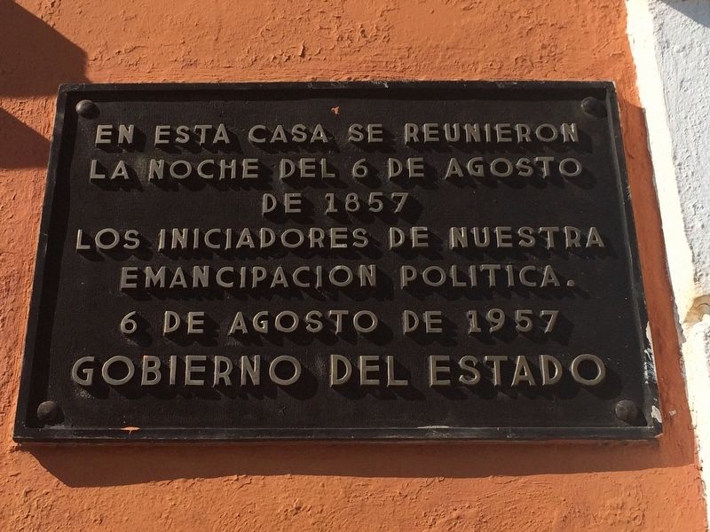
la noche del 6 de agosto
de 1857
los iniciadores de nuestra
emancipación política.
6 de agosto de 1957
Gobierno del Estado
English translation:
on the night of August 6, 1857
met the planners of our political independence.
Government of the State
Erected 1957 by Gobierno del Estado de Campeche.
Topics. This historical marker is listed in these topic lists: Government & Politics • Wars, Non-US. A significant historical date for this entry is August 6, 1857.
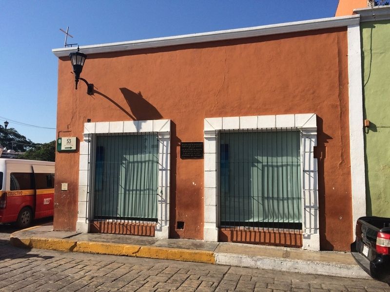
Location. 19° 50.559′ N, 90° 32.031′ W. Marker is in San Francisco de Campeche, Campeche. It is in Zona Centro. Marker is at the intersection of Calle 53 and Avenida Circuito Baluartes, on the left when traveling north on Calle 53. Touch for map. Marker is at or near this postal address: C 53 70, San Francisco de Campeche CAMP 24000, Mexico. Touch for directions.
Other nearby markers. At least 8 other markers are within walking distance of this marker. Bastion of San Pedro (about 150 meters away, measured in a direct line); The House of the King’s Lieutenant (about 240 meters away); Campeche's Land Gate (approx. 0.2 kilometers away); Professor Septimio Perez Palacios (approx. 0.3 kilometers away); Francisco de Paulo Toro Theater (approx. 0.3 kilometers away); Temple of the Sweet Name of Jesus (approx. 0.3 kilometers away); House of Pablo García y Montilla (approx. 0.4 kilometers away); Pedro Sainz de Baranda y Borreyro (approx. 0.4 kilometers away). Touch for a list and map of all markers in San Francisco de Campeche.
Regarding Independence of Campeche. The marker refers to the date and location of the first meeting to plot the independence of the state of Campeche, eventually resulting in it breaking away from the state of Yucatán during the Caste War. It finally became a separate state in 1862.
Credits. This page was last revised on April 29, 2017. It was originally submitted on April 29, 2017, by J. Makali Bruton of Accra, Ghana. This page has been viewed 139 times since then and 7 times this year. Photos: 1, 2. submitted on April 29, 2017, by J. Makali Bruton of Accra, Ghana.

