Jackson in Butts County, Georgia — The American South (South Atlantic)
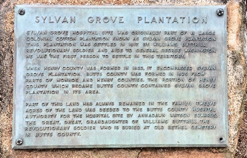
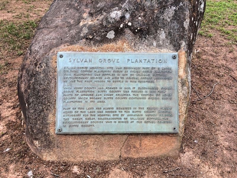
Sylvan Grove Plantation
When Henry County was formed in 1823, it encompassed Sylvan Grove Plantation. Butts County was formed in 1825 from parts of Monroe and Henry counties. The portion of Henry County which became Butts County contained Sylvan Grove Plantation in its area.
Part of this land has always remained in the family. Twelve acres of the land was deeded to the Butts County Hospital Authority for the hospital site by Annadawn Watson Edwards, the great, great, grandaughter of Williams Buttrill, the Revolutionary soldier who is buried at Old Bethel Cemetery in Butts County.
Topics. This historical marker is listed in these topic lists: Political Subdivisions • Science & Medicine • Settlements & Settlers • War, US Revolutionary. A significant historical year for this entry is 1817.
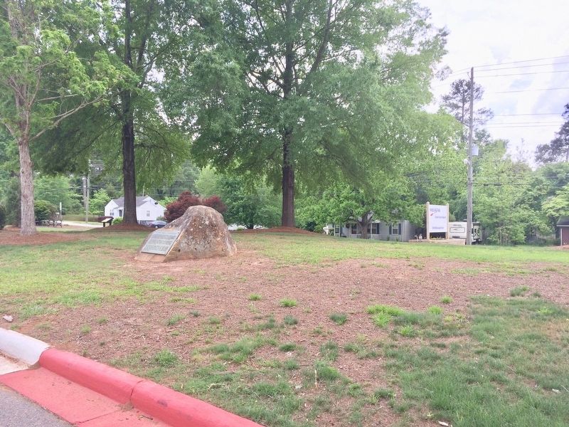
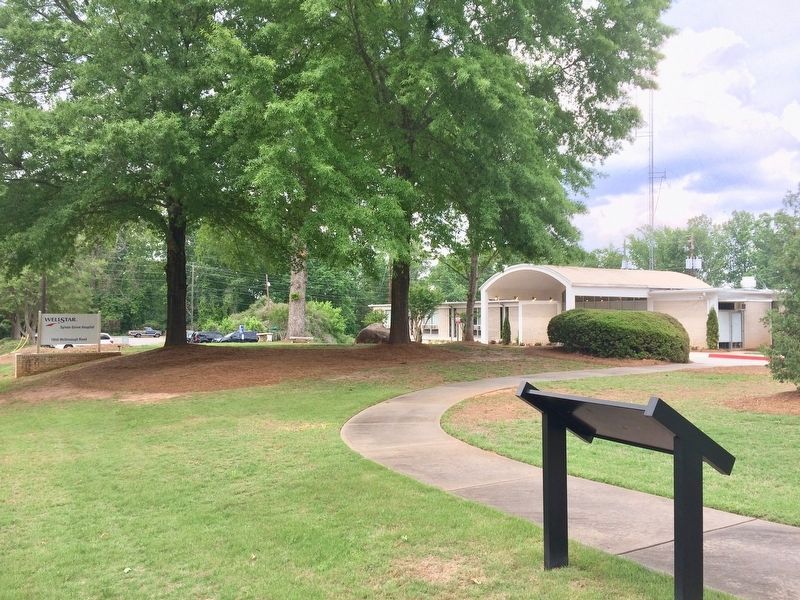
Location. 33° 18.211′ N, 83° 58.684′ W. Marker is in Jackson, Georgia, in Butts County. Marker can be reached from McDonough Road, 0.2 miles east of Brookwood Avenue (U.S. 23). Located at main entrance of the Sylvan Grove Hospital. Touch for map. Marker is at or near this postal address: 1050 McDonough Road, Jackson GA 30233, United States of America. Touch for directions.
Other nearby markers. At least 8 other markers are within 5 miles of this marker, measured as the crow flies. A different marker also named Sylvan Grove Plantation (within shouting distance of this marker); Butts County (approx. 0.9 miles away); The Right Wing at Jackson (approx. 0.9 miles away); Crossing the Ocmulgee (approx. 0.9 miles away); Jackson (approx. 0.9 miles away); Butts County Confederate Monument (approx. 0.9 miles away); Iron Springs (approx. 4.3 miles away); Home of Robert Grier (approx. 4˝ miles away). Touch for a list and map of all markers in Jackson.
Also see . . . USGenWeb Archives: First person story of the Sylvan Plantation. (Submitted on May 3, 2017, by Mark Hilton of Montgomery, Alabama.)
Credits. This page was last revised on May 3, 2017. It was originally submitted on May 3, 2017, by Mark Hilton of Montgomery, Alabama. This page has been viewed 675 times since then and 50 times this year. Photos: 1, 2, 3, 4. submitted on May 3, 2017, by Mark Hilton of Montgomery, Alabama.


