Franklin in Williamson County, Tennessee — The American South (East South Central)
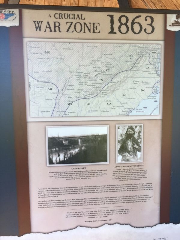
A Crucial War Zone 1863
As a result, much of this landscape was destroyed. Both sides striped the countryside of livestock and grain to feed their armies. Churches, public buildings, and schools in Franklin and surrounding communities became headquarters and hospitals. Soldiers tore down barns and homes to build huts and fortifications. Federals in Franklin also chopped down whole forests and orchards, including trees in this area, to provide clear lines of fire for artillery. And the battles continued. In late September, just across the border into Georgia, the Battle of Chickamauga killed and wounded over 28,000 men, including more than seventy locals. It would prove to e the second bloodiest battle of the war.
"Franklin is war worn. The shattered glass in her churches and school houses, her lonely streets and the closed shutters of her store houses, the battered doors and ruined machinery of her manufactories, and above all the deathlike, breathless silence, that absence of all sound, that can be felt nowhere but at the desolate hearthstone, here reigns supreme."
Scot Butler, 33rd Indiana Regiment - 1863
Topics. This historical marker is listed in these topic lists: African Americans • War, US Civil. A significant historical date for this entry is March 5, 1863.
Location. 35° 54.298′ N, 86° 51.519′ W. Marker is in Franklin, Tennessee, in Williamson County. Marker is on Eastern Flank Circle, 0.4 miles Lewisburg Pike (Business U.S. 431), on the right when traveling west. Located in Eastern Flank Battlefield Park. Touch for map. Marker is at or near this postal address: 1345 Eastern Flank Cir, Franklin TN 37064, United States of America. Touch for directions.
Other nearby markers. At least 8 other markers are within walking distance of this marker. Becoming the Front Line 1862 (here, next to this marker); Standing at the Crossroads 1861 (here, next to this marker); The Final Campaign 1864 (here, next to this marker); The Battle of Franklin (here, next to this marker); Hood's Retreat (here, next to this marker); Battle of Franklin, Eastern Flank (a few steps from this marker); a different marker also named Battle of Franklin, Eastern Flank (within shouting distance of this marker); a different marker also named Battle of Franklin, Eastern Flank (within shouting distance of this marker). Touch for a list and map of all markers in Franklin.

Photographed By Brandon Stahl
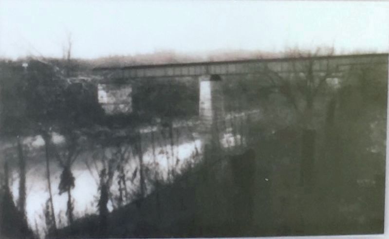
4. Fort Granger
Postwar photo showing the remains of Fort Granger on Figuers Bluff in the background, with the Harpeth river and the Nashville-Decatur Railroad bridge in the foreground. In the spring of 1863, 1.2 miles (2km) northeast of where you are standing, Union soldiers built the fort to secure the vital rail lines, and to possess a commanding view of this entire area.

Photographed By Brandon Stahl
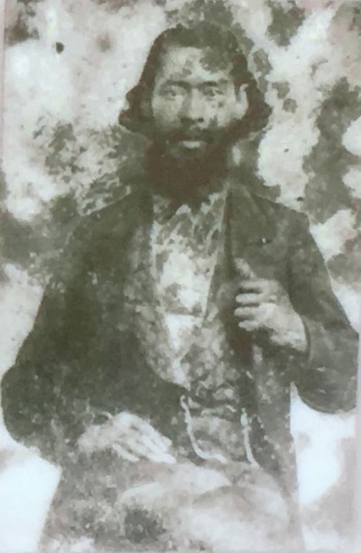
5. George Washington Brown
In 1860, a majority of Williamson County's residents were enslaved. Many area slaves ran away to join the Federals, while others were sent southward by their owners who wanted to hold onto their "property" as long as possible. After the war, whites slightly out-populated African Americans in the county, and the ratio gradually widened thereafter.
Credits. This page was last revised on August 27, 2020. It was originally submitted on May 10, 2017, by Brandon Stahl of Fairfax, Virginia. This page has been viewed 416 times since then and 23 times this year. Photos: 1, 2, 3, 4, 5. submitted on May 10, 2017, by Brandon Stahl of Fairfax, Virginia. • Bernard Fisher was the editor who published this page.


