
Jean in Clark County, Nevada — The American Mountains (Southwest)
The Arrowhead Trail Highway
Photographed by Denise Boose, November 11, 2016
1. The Arrowhead Trail Highway Marker
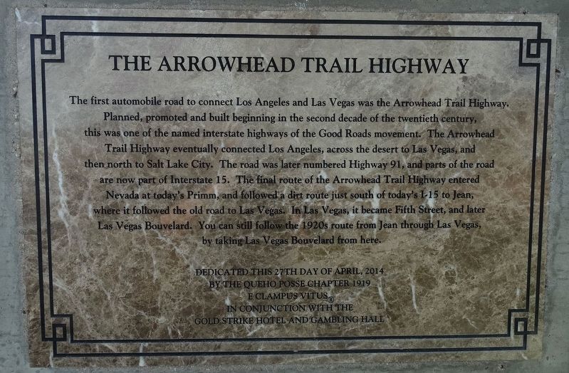
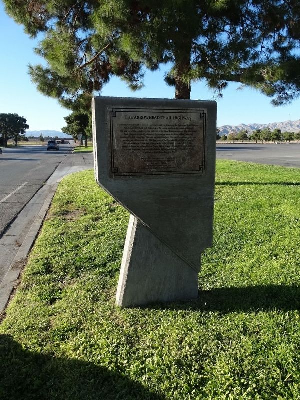
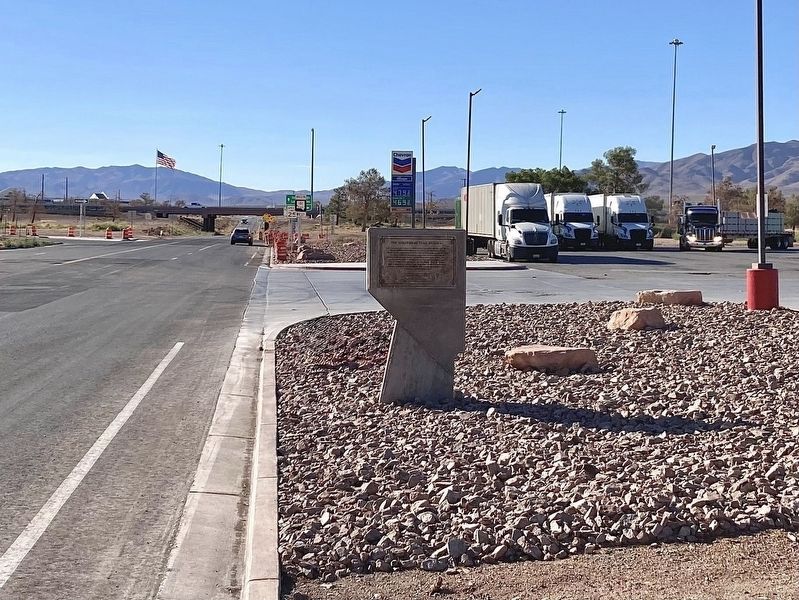
The first automobile road to connect Los Angeles and Las Vegas was the Arrowhead Trail Highway. Planned, promoted and built beginning in the second decade of the twentieth century, this was one of the named interstate highways of the Good Roads movement. The Arrowhead Trail Highway eventually connected Los Angeles, across the desert to Las Vegas, and the north to Salt Lake City. The road was later numbered Highway 91, and parts of the road are now part of Interstate 15. The final route of the Arrowhead Trail Highway entered Nevada at today's Primm, and followed a dirt route just south of today's 1-15 to Jean, where it followed the old road to Las Vegas. In Las Vegas, it became Fifth Street, and later Las Vegas Bouvelard. You can still follow the 1920s route from Jean through Las Vegas, by taking Las Vegas Bouvelard from here.
Erected 2014 by Queho Posse Chapter 1919 E Clampus Vitus and Gold Strike Hotel and Gambling Hall.
Topics and series. This historical marker is listed in this topic list: Roads & Vehicles. In addition, it is included in the E Clampus Vitus series list.
Location. 35° 46.754′ N,
this page online

Regionally, this marker is in the Mojave Desert and in Greater Las Vegas. It is also in the American Southwest and in the Mountain West. Globally, it is in North America, the Western Hemisphere, the Western World, and the Anglosphere. Historically, it finds itself in what was once New Spain and also Mexico’s Alta California.
Other nearby markers. At least 8 other markers are within 8 miles of this marker, measured as the crow flies: The Yellow Pine Mining Company Railroad (here, next to this marker); Jean, Nevada (a few steps from this marker); The Last Spike (approx. 3.7 miles away); a different marker also named The Last Spike (approx. 5.2 miles away); Goodsprings Veterans Memorial (approx. 6.8 miles away); Goodsprings Cemetery (approx. 6.8 miles away); The Pioneer Saloon (approx. 7 miles away); Good’s Spring (approx. 7.1 miles away). Touch for a list
Photographed by Denise Boose, November 11, 2016
2. The Arrowhead Trail Highway Marker
Another marker is no longer nearby. Old Elko Fire Bell (was approx. ¼ mile away but has been confirmed missing).

Photographed by Mark Moxley-Knapp, April 20, 2025
3. The Arrowhead Trail Highway Marker
Photographed by Craig Baker, September 9, 2025
4. Arrowhead Trail Highway Marker
Credits. This page was last revised on October 26, 2025. It was originally submitted on May 12, 2017, by Denise Boose of Tehachapi, California. This page has been viewed 1,042 times since then and 91 times this year. Photos: 1, 2. submitted on May 12, 2017, by Denise Boose of Tehachapi, California. 3. submitted on April 24, 2025, by Mark Moxley-Knapp of Columbus, Ohio. 4. submitted on September 14, 2025, by Craig Baker of Sylmar, California. • Syd Whittle was the editor who published this page.
