
Near Dover in Stewart County, Tennessee — The American South (East South Central)
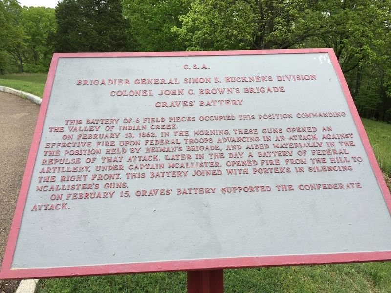
Graves' Battery C.S.A.
Brigadier General Simon B Buckner's Division
| — | Colonel John C. Brown's Brigade | — |
Photographed by Brandon Stahl, April 27, 2017
1. Graves' Battery Marker
On February 13, 1862, in the morning, these guns opened an effective fire upon Federal troops advancing in an attack against the position held by Neiman's brigade, and aided materially in the repulse of the attack. Later in the day a battery of Federal artillery, under Captain McAllister, opened fire from the hill to the right front. This battery joined with Porter's in silencing McAllister's guns.
On February 15, Graves' battery supported the Confederate attack.
Erected 1930 by War Department.
Topics. This historical marker is listed in this topic list: War, US Civil. A significant historical date for this entry is February 13, 1862.
Location. 36° 28.885′ N, 87° 51.448′ W. Marker is near Dover, Tennessee, in Stewart County. It is on Park Drive 0.2 miles east of Donelson Parkway (U.S. 79), on the right when traveling east. Located at Stop 7 on the driving tour of Fort Donelson National Battlefield. Touch for map. Marker is in this post office area: Dover TN 37058, United States of America. Touch for directions.

Regionally, this marker
this page online
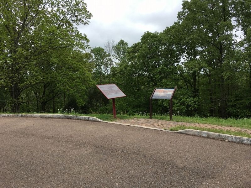
Other nearby markers. At least 8 other markers are within walking distance of this marker: Holding the Outer Lines (here, next to this marker); Graves' Battery (within shouting distance of this marker); Forrest's Cavalry (approx. ¼ mile away); Confederate Trenches (approx. 0.3 miles away); 6-pounder Gun (approx. 0.3 miles away); Porter's Battery (approx. 0.4 miles away); Confederate Monument (approx. 0.4 miles away); Fort Donelson Confederate Monument (approx. 0.4 miles away). Touch for a list and map of all markers in Dover.
Other markers no longer nearby. Federal Troops and Casualties at Fort Donelson (was approx. 0.3 miles away but has been confirmed missing); Confederate Troops and Casualties at Fort Donelson (was approx. 0.3 miles away but
Photographed by Brandon Stahl, April 27, 2017
2. Graves' Battery Marker
Also see . . . Fort Donelson. National Park Service Fort Donelson Homepage (Submitted on April 30, 2017, by Brandon Stahl of Fairfax, Virginia.)
Credits. This page was last revised on May 15, 2017. It was originally submitted on April 30, 2017, by Brandon Stahl of Fairfax, Virginia. This page has been viewed 494 times since then and 21 times this year. Last updated on May 13, 2017, by Byron Hooks of Sandy Springs, Georgia. Photos: 1, 2. submitted on April 30, 2017, by Brandon Stahl of Fairfax, Virginia. • Bernard Fisher was the editor who published this page.
