Charles Town in Jefferson County, West Virginia — The American South (Appalachia)
Lock Graveyard Memorial
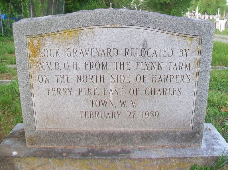
Photographed by William Fischer, Jr., April 30, 2017
1. Lock Graveyard Memorial Marker
W.V.D.O.H. from the Flynn Farm
on the north side of Harper's
Ferry Pike, east of Charles
Town, W.V.
February 27, 1989
Topics. This historical marker and memorial is listed in these topic lists: Cemeteries & Burial Sites • Settlements & Settlers. A significant historical date for this entry is February 27, 1989.
Location. 39° 17.402′ N, 77° 51.262′ W. Marker is in Charles Town, West Virginia, in Jefferson County. It is at the intersection of Seminary Street and Congress Street, on the left when traveling south on Seminary Street. Touch for map. Marker is at or near this postal address: Near the NW corner of Edge Hill Cemetery, Charles Town WV 25414, United States of America. Touch for directions.

Regionally, this marker and memorial is in the Washington Metropolitan Area and in the Eastern Panhandle. It is also in the American South, specifically in the Upper South, in Appalachia, and specifically in Northern Appalachia. Globally, it is in North America, the Western Hemisphere, the Western World, and the Anglosphere. Historically, it finds itself in what was once the territory of the
this page online
Other nearby markers. At least 8 other markers are within walking distance of this marker: The Confederate Dead (a few steps from this marker); Edge Hill Cemetery (within shouting distance of this marker); In Memoriam (within shouting distance of this marker); Who Is Buried Here? (within shouting distance of this marker); Rutherford House (about 300 feet away, measured in a direct line); African American Cemetery Monument (about 300 feet away); The Stribling House (about 300 feet away); An African American Cemetery Reclaimed (about 300 feet away). Touch for a list and map of all markers in Charles Town.
Another marker is no longer nearby. "Coloured" Grave Yard (was about 300 feet away but has been replaced with another marker now near it).
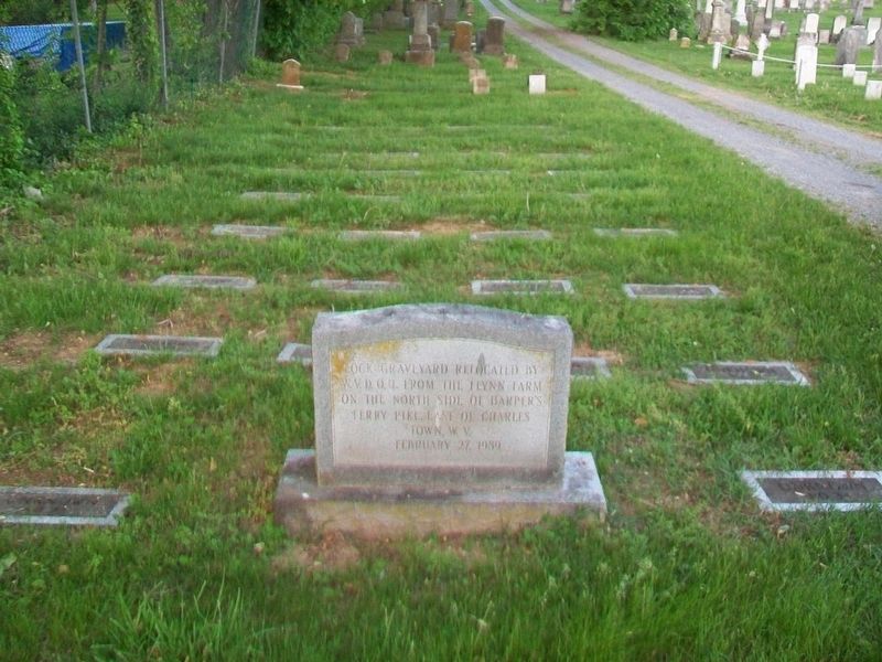
Photographed by William Fischer, Jr., April 30, 2017
2. Lock Graveyard Memorial Marker and Relocated Burials
Credits. This page was last revised on May 19, 2017. It was originally submitted on May 17, 2017, by William Fischer, Jr. of Reynoldsburg, Ohio. This page has been viewed 610 times since then and 41 times this year. Photos: 1, 2. submitted on May 17, 2017, by William Fischer, Jr. of Reynoldsburg, Ohio.
