Chimaltenango, Guatemala — Central America
General Justo Rufino Barrios
Photographed by J. Makali Bruton, February 18, 2017
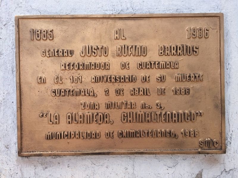
1. General Justo Rufino Barrios Marker

General Justo Rufino Barrios
Reformador de Guatemala
en el 101 aniversario de su muerte
Guatemala, 2 de abril de 1986
Zona Militar No. 3,
“La Alameda, Chimaltenango”
Municipalidad de Chimaltenango, 1986
SMG
General Justo Rufino Barrios
The Reformer of Guatemala
on the 101st anniversary of his death
Guatemala, April 2, 1986
Military Zone No. 3,
“La Alameda, Chimaltenango”
Municipality of Chimaltenango, 1986
SMG
Erected 1986 by Municipalidad de Chimaltenango.
Topics. This historical marker is listed in these topic lists: Government & Politics • Wars, Non-US. A significant historical date for this entry is April 2, 1986.
Location. 14° 39.649′ N, 90° 49.139′ W. Marker is in Chimaltenango. It is on Calle Real just east of 1a Avenida, on the right when traveling east. Touch for map. Marker is in this post office area: Chimaltenango 04001, Guatemala. Touch for directions.

Regionally, it is in North America, specifically in Central America, in Mesoamerica, on the Ring of Fire, in the Pacific Rim, and in the Western Hemisphere. Historically, it finds itself
this page online
Other nearby markers. At least 8 other markers are within 11 kilometers of this marker, measured as the crow flies: José Simeon Cañas (within shouting distance of this marker); Chimaltenango Memorial to the Victims of Guatemala's Armed Conflict (within shouting distance of this marker); Saint Sebastian Catholic Church of El Tejar (approx. 3.4 kilometers away); Canadian Assistance after the 1976 Earthquake (approx. 5.3 kilometers away); The 20th Anniversary of the Guatemalan Peace Accords (approx. 6 kilometers away); Memorial to the Fallen and Missing of the Community of December 29 (approx. 6.4 kilometers away); Tree of Saint Peter (approx. 9 kilometers away in Sacatepéquez); San Juan Comalapa Memorial to Genocide Victims (approx. 10.9 kilometers away). Touch for a list and map of all markers in Chimaltenango.
Photographed by J. Makali Bruton, February 18, 2017
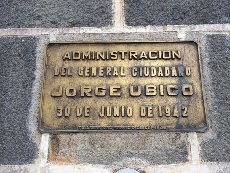
2. An additional nearby marker on the building's construction in 1942
This additional marker is located to the right of the entryway to the police station. It reads:
Administracion
del General Ciudadano
Jorge Ubico
30 de junio de 1942
English translation:Administration of the General and Citizen Jorge Ubico, June 30, 1942
del General Ciudadano
Jorge Ubico
30 de junio de 1942
Photographed by J. Makali Bruton, February 18, 2017
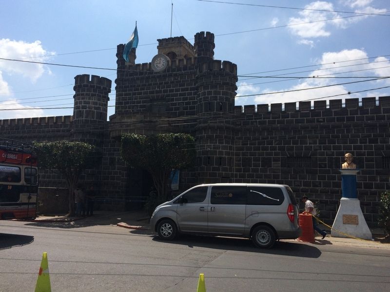
3. General Justo Rufino Barrios Marker
The marker and bust of General Barrios can be seen to the right. The building now houses the 73rd Precinct of the National Civil Police.
Photographed by J. Makali Bruton, February 18, 2017
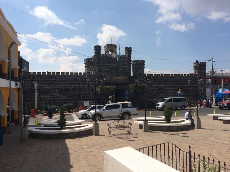
4. An additional view of the General Justo Rufino Barrios bust and Chimaltenango police station.
This view is from in front of the Chimaltenango Municipal Government building, with the marker seen towards the right.
Credits. This page was last revised on June 26, 2019. It was originally submitted on May 21, 2017, by J. Makali Bruton of Washington, District of Columbia. This page has been viewed 318 times since then and 20 times this year. Photos: 1, 2, 3, 4. submitted on May 21, 2017, by J. Makali Bruton of Washington, District of Columbia.
