Amherstburg in Essex County, Ontario — Central Canada (North America)
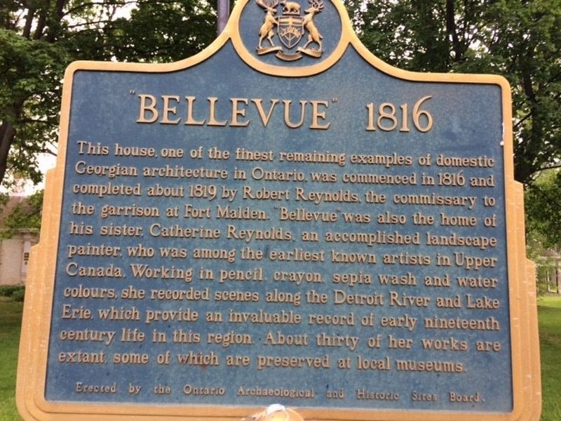
Bellevue 1816
Photographed by Michael Baker
1. Bellevue 1816 Marker
Erected 1962 by Ontario Archaeological and Historical Sites Board.
Topics and series. This historical marker is listed in these topic lists: Architecture • Arts, Letters, Music. In addition, it is included in the Canada, Ontario Heritage Trust series list.
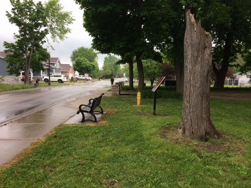
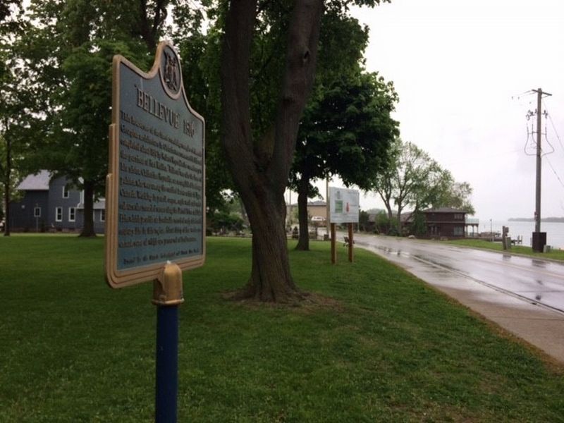
Location. 42° 5.571′ N, 83° 6.772′ W. Marker is in Amherstburg, Ontario, in Essex County. It is on Dalhousie Street, on the left when traveling south. Touch for map.
this page online

Regionally, this marker is in the Southwest Ontario Area and in Southwestern Ontario. It is also in Central Canada. Globally, it is in North America, on the Great Lakes, in the Western Hemisphere, in the Western World, and in the Anglosphere. Historically, it finds itself in what was once a British colony, the Viceroyalty of New France, the Haudenosaunee (Iroquois) Confederacy, and Rupert’s Land.
Other nearby markers. At least 8 other markers are within walking distance of this marker: Belle Vue (a few steps from this marker); Christ Church 1819 (approx. 0.8 kilometers away); Lt. - Colonel William Caldwell (approx. 0.8 kilometers away); Capture of the Anne, 1838 (approx. 0.9 kilometers away); Colonel Matthew Elliott (approx. 0.9 kilometers away); The Nazrey African Methodist Episcopal (AME) Church (approx. 1.1 kilometers away); The Great Sauk Trail (approx. 1.1 kilometers away); The Commissariat Office (approx. 1.2 kilometers away). Touch for a list and map of all markers in Amherstburg.
Photographed by Michael Baker
2. Bellevue 1816 Marker
Photographed by Michael Baker
3. Bellevue 1816 Marker
Photographed by Michael Baker
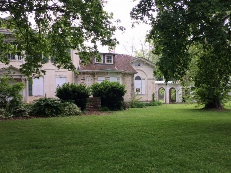
4. Bellevue 1816 Marker
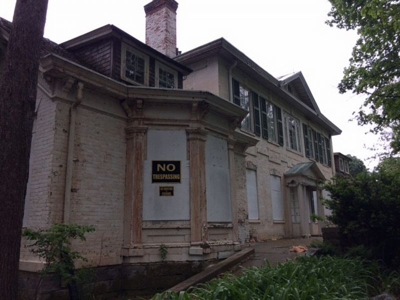
Photographed by Michael Baker
5. Bellevue 1816 Marker
Photographed by Michael Baker
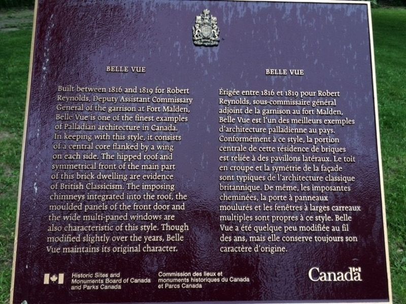
6. Another marker explaining more about Bellevue.
Photographed by Tim Boyd, May 15, 2026
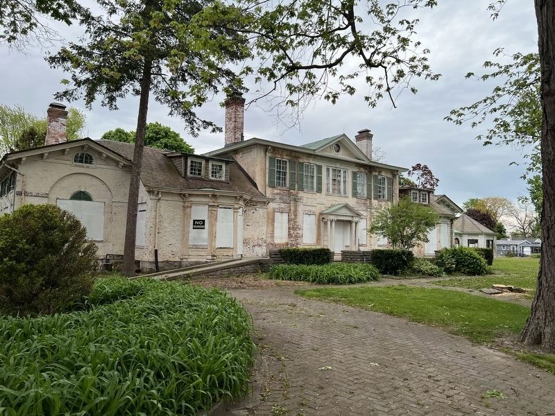
7. Bellevue in 2026
Credits. This page was last revised on May 27, 2026. It was originally submitted on May 25, 2017, by Michael Baker of Lima, Ohio. This page has been viewed 471 times since then and 28 times this year. Photos: 1, 2, 3, 4, 5, 6. submitted on May 25, 2017, by Michael Baker of Lima, Ohio. 7. submitted on May 22, 2026, by Tim Boyd of Hamilton, Ontario. • Bill Pfingsten was the editor who published this page.
