Harford in Susquehanna County, Pennsylvania — The American Northeast (Mid-Atlantic)
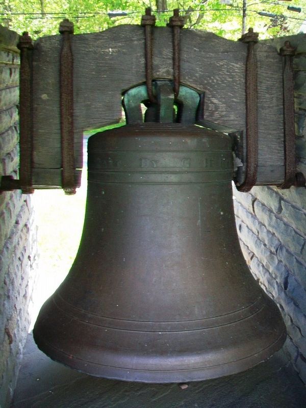
Original Congregational Bell

Photographed by William Fischer, Jr., May 15, 2017
1. Original Congregational Bell Marker
Removed in 1941
and replaced by
Methodist Bell
of 1878
Placed here in 1978
Bell donated by
Dr. Ray A. Barnard
Mounting in memory of
Devere B. Decker
Topics and series. This historical marker is listed in these topic lists: Communications • Man-Made Features • Religion & Religious Structures. In addition, it is included in the Historic Bells series list. A significant historical year for this entry is 1836.
Location. 41° 46.741′ N, 75° 42.045′ W. Marker is in Harford, Pennsylvania, in Susquehanna County. It is on Creek Road (County Route 2063) south of Pennsylvania Route 547, on the left when traveling south. Touch for map. Marker is at or near this postal address: First Congregational Church 5016 Creek Road, Harford PA 18823, United States of America. Touch for directions.

Regionally, this marker is in Pennsylvania’s Wyoming Valley. It is also in the American Northeast, in the Mid-Atlantic, in Appalachia, and specifically in Northern Appalachia. Globally, it is in North America, the Western Hemisphere, the Western World, and the Anglosphere. Historically, it finds itself
this page online
Other nearby markers. At least 8 other markers are within 4 miles of this marker, measured as the crow flies: Harford, Penna. (about 400 feet away, measured in a direct line); Civil War Memorial (about 400 feet away); Galusha Grow (about 400 feet away); Nine Partners Monument (approx. 0.2 miles away); Susquehanna County Liberty Tree (approx. 1.2 miles away); Soldiers Orphan School (approx. 1.2 miles away); a different marker also named Galusha Grow (approx. 2.9 miles away); Martins Creek Viaduct (approx. 4 miles away). Touch for a list and map of all markers in Harford.
Also see . . . First Congregational Church, Harford PA. Church website entry (Submitted on May 26, 2017, by William Fischer, Jr. of Reynoldsburg, Ohio.)

Photographed by William Fischer, Jr., May 15, 2017
2. Original Congregational Bell Marker
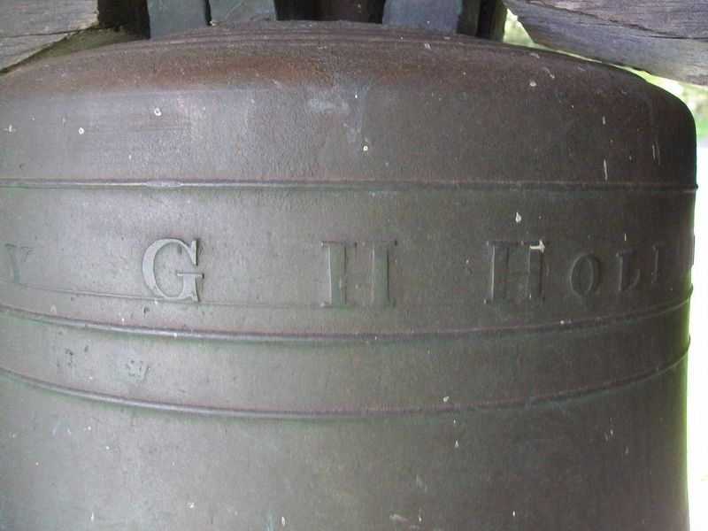
Photographed by William Fischer, Jr., May 15, 2017
3. Original Congregational Bell Detail
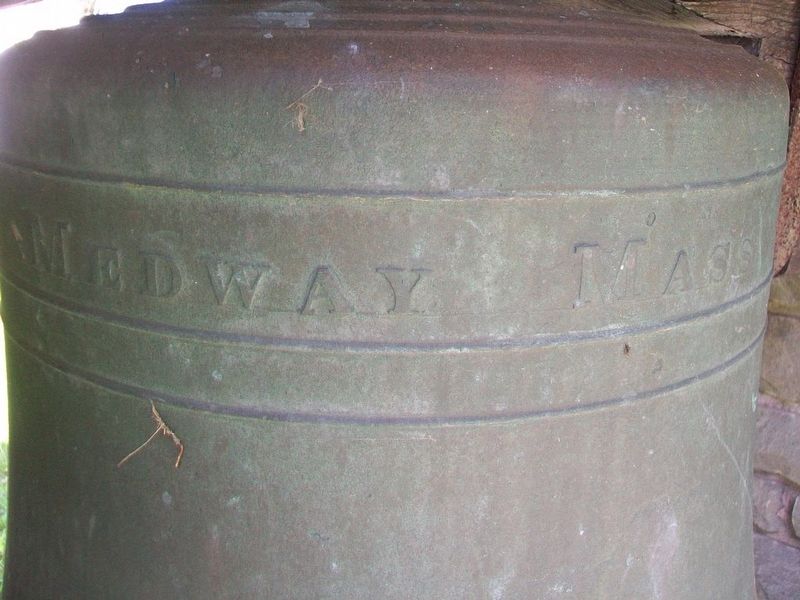
Photographed by William Fischer, Jr., May 15, 2017
4. Original Congregational Bell Detail
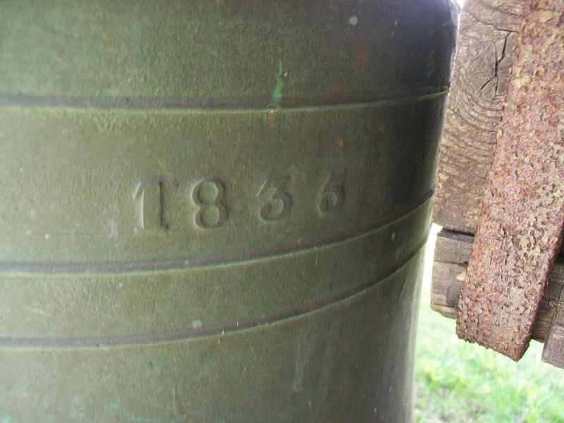
Photographed by William Fischer, Jr., May 15, 2017
5. Original Congregational Bell Detail
Photographed by William Fischer, Jr., May 15, 2017
6. Original Congregational Bell
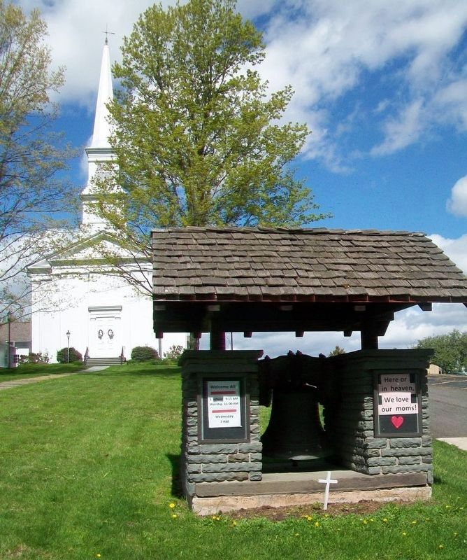
Photographed by William Fischer, Jr., May 15, 2017
7. Congregational Church and Original Congregational Bell
Credits. This page was last revised on January 21, 2022. It was originally submitted on May 26, 2017, by William Fischer, Jr. of Reynoldsburg, Ohio. This page has been viewed 293 times since then and 18 times this year. Photos: 1, 2, 3, 4, 5, 6, 7. submitted on May 26, 2017, by William Fischer, Jr. of Reynoldsburg, Ohio.
