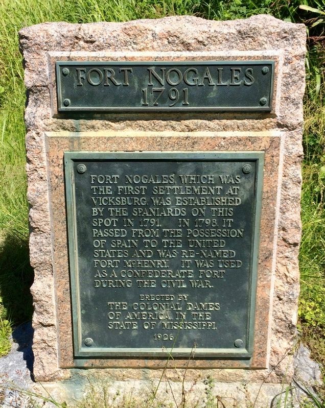
Vicksburg in Warren County, Mississippi — The American South (East South Central)
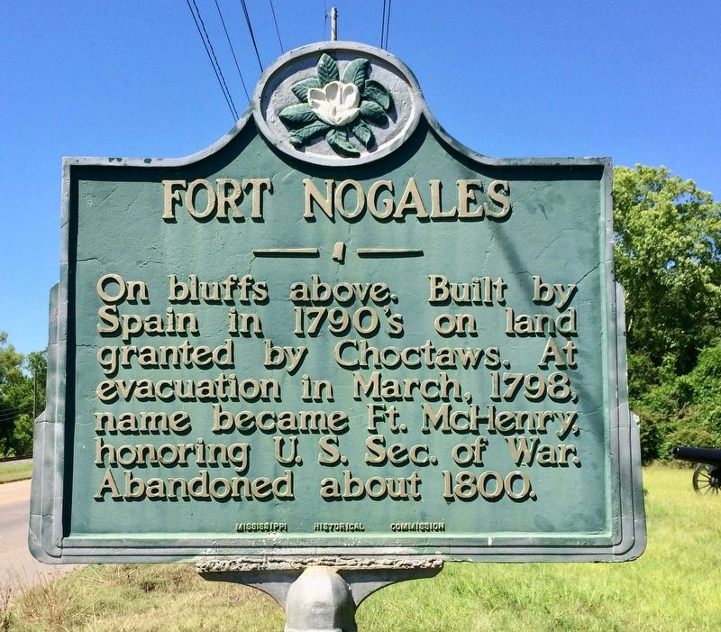
Fort Nogales
Erected by the Mississippi Historical Commission.
Topics and series. This historical marker is listed in these topic lists: Forts and Castles • Native Americans • Notable Places. In addition, it is included in the Mississippi State Historical Marker Program series list. A significant historical month for this entry is March 1798.
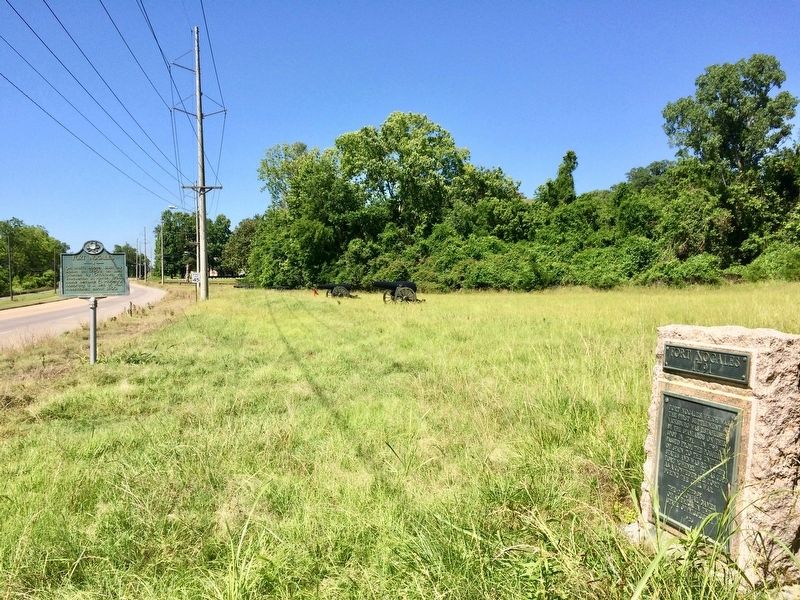
Location. 32° 22.292′ N, 90° 52.323′ W. Marker is in Vicksburg, Mississippi, in Warren County. Marker is on North Washington Street (Business U.S. 61) 1.3 miles 1st East Street, on the right when traveling north. Touch for map. Marker is at or near this postal address: North Washington Street, Vicksburg MS 39183, United States of America. Touch for directions.
Other nearby markers. At least 8 other markers are within walking distance of this marker. Fort Nogales 1791 (a few steps from this marker); Iowa 31st Infantry (approx. 0.2 miles away); Iowa 2nd Brig.; (approx. 0.2 miles away); C.S. Johnston's Company, (approx. 0.2 miles away); Explore the Defenses (approx. 0.2 miles away); A Stronghold on the Bluffs (approx. 0.2 miles away); Tennessee River Batteries (approx. 0.2 miles away); Campaign, Siege and Defense of Vicksburg, 1863. (approx. 0.2 miles away).
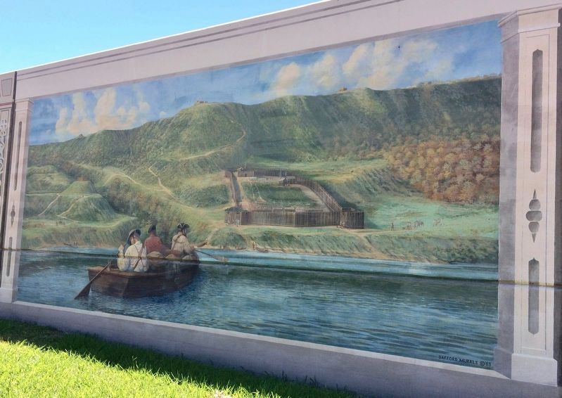
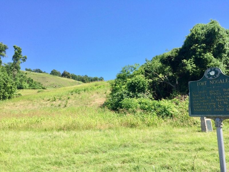
Regarding Fort Nogales. The fort was located on Fort Hill (formerly Walnut Hill). It had 12 cannon facing the river, and four howitzers in blockhouses racing the rear, with a powder magazine, commander's house, and barracks for 200 men. About 1000 yards to the rear was square-palisade Fort Mount Vigie, and about 400 yards to the right and left were two blockhouses, Fort Gayoso and Fort Ignatius. A blockhouse named Fort Sugarloaf was on a hill across a creek.
Also see . . . Fort Wiki on Fort Nogales. (Submitted on May 27, 2017, by Mark Hilton of Montgomery, Alabama.)
Credits. This page was last revised on May 27, 2017. It was originally submitted on May 27, 2017, by Mark Hilton of Montgomery, Alabama. This page has been viewed 391 times since then and 36 times this year. Photos: 1, 2, 3, 4, 5. submitted on May 27, 2017, by Mark Hilton of Montgomery, Alabama.
