Gwynns Falls Trail
Blocking the Interstate
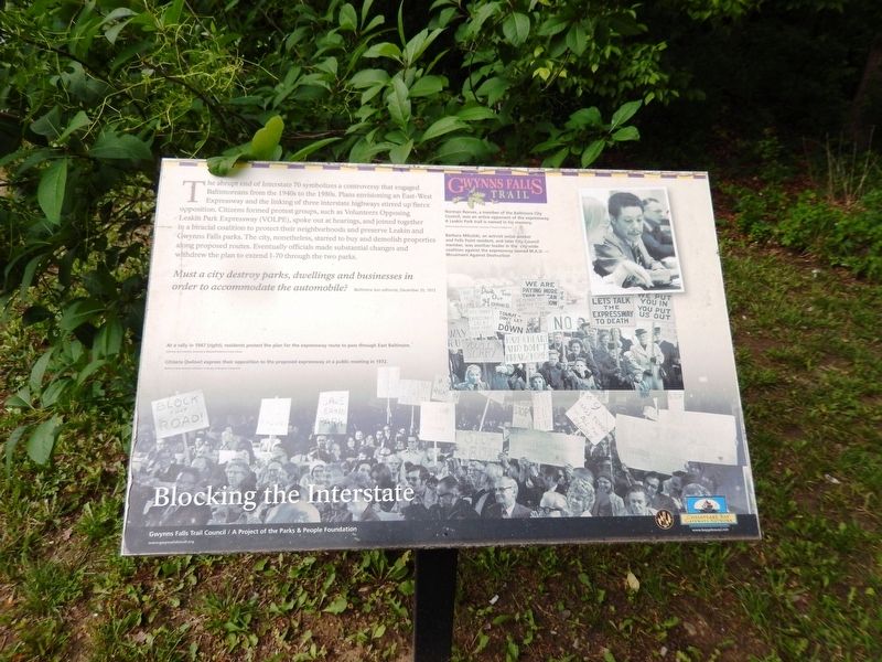
The abrupt end of Interstate 70 symbolizes a controversy that engaged Baltimoreans from the 1940s to the 1980s. Plans envisioning an East-West Expressway and the linking of three interstate highways stirred up fierce opposition. Citizens formed protest groups, such as Volunteers Opposing Leakin Park Expressway (VOLPE), spoke out at hearings, and joined together in a biracial coalition to protect their neighborhoods and preserve Leakin and Gwynns Falls parks. The city, nonetheless, started to buy and demolish properties along proposed routes. Eventually officials made substantial changes and withdrew the plan to extend I-70 through the two parks.
Must a city destroy parks, dwellings and businesses in order to accommodate the automobile? Baltimore Sun editorial,
this page online
(Inscriptions at the bottom right)
At a rally in 1947 (right), residents protest the plan for the expressway route to pass through East Baltimore.
Citizens (below) express their opposition to the proposed expressway at a public meeting in 1972.
Erected by Gwynns Falls Trail Council/A Project of the Parks and People Foundation.
Topics. This historical marker is listed in these topic lists: Education • Environment. A significant historical date for this entry is December 20, 1972.
Location. 39° 18.124′ N, 76° 42.501′ W. Marker is in Baltimore, Maryland. It is in Franklintown. It is on I-70 Park and Ride off Security Blvd.. The marker is at the end of the I-70 Park and Ride. Touch for map. Marker is at or near this postal address: 5115 Park and Ride, Baltimore MD 21229, United States of America. Touch for directions.
Regionally, this marker is in Central Maryland. It is also in the American Mid-Atlantic, in the Chesapeake Bay Region, and on the Eastern Seaboard. Globally, it is in the North Atlantic Region, North America, the Western Hemisphere, the Western World, and the Anglosphere. Historically, it finds
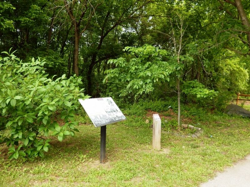
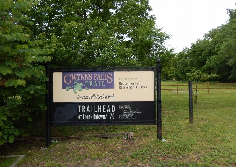
Other nearby markers. At least 8 other markers are within walking distance of this marker: A different marker also named Gwynns Falls Trail (here, next to this marker); Franklintown's Historic Roots (approx. ¼ mile away); Orianda House (approx. half a mile away); Caretaker House (approx. half a mile away); Crimea (approx. 0.6 miles away); Gateway to Leakin Park (approx. 0.6 miles away); Chapel (approx. 0.6 miles away); Crimea Mansion (approx. 0.6 miles away). Touch for a list and map of all markers in Baltimore.
Credits. This page was last revised on November 2, 2020. It was originally submitted on May 27, 2017, by Don Morfe of Baltimore, Maryland. This page has been viewed 481 times since then and 50 times this year. Photos: 1, 2, 3, 4, 5, 6. submitted on May 27, 2017, by Don Morfe of Baltimore, Maryland. • Bill Pfingsten was the editor who published this page.
